
| Run ID | Site Name | NASA Log # | Investigator | Start Lat | Start Lon | Stop Lat | Stop Lon | Start GMT | Stop GMT | Comments |
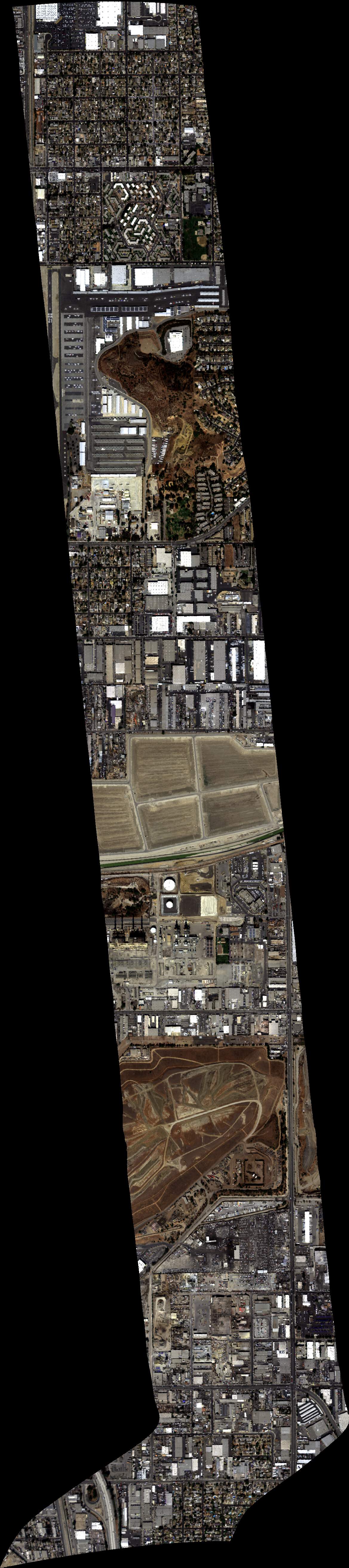
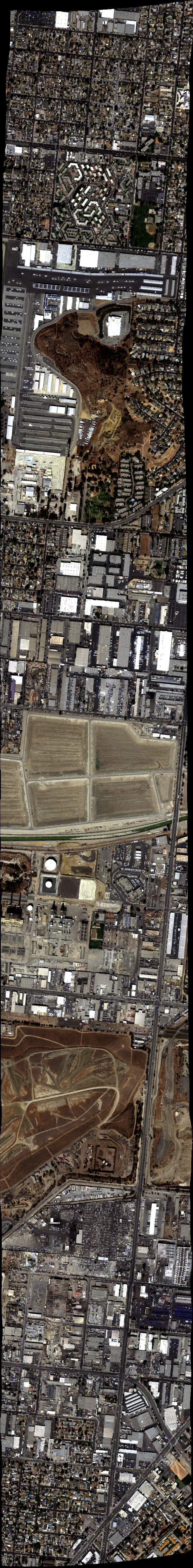
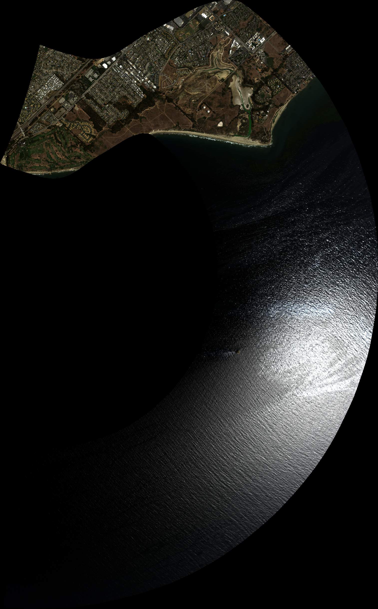
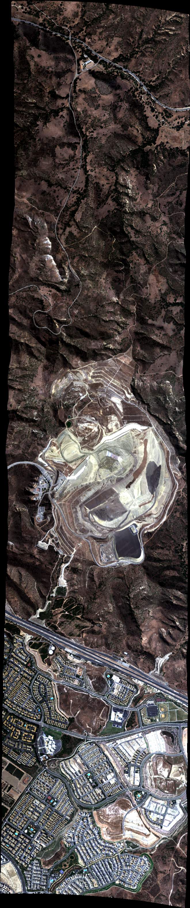
| 180703 | Soil_Comp_FL100 (orthocorrected) |
20M050 | Eric Kort | 34.267572 | -118.416493 | 34.234601 | -118.374208 | Alt = 5.7 kft SOG = 160 kts Clouds = clear MCRS = 120 |
||
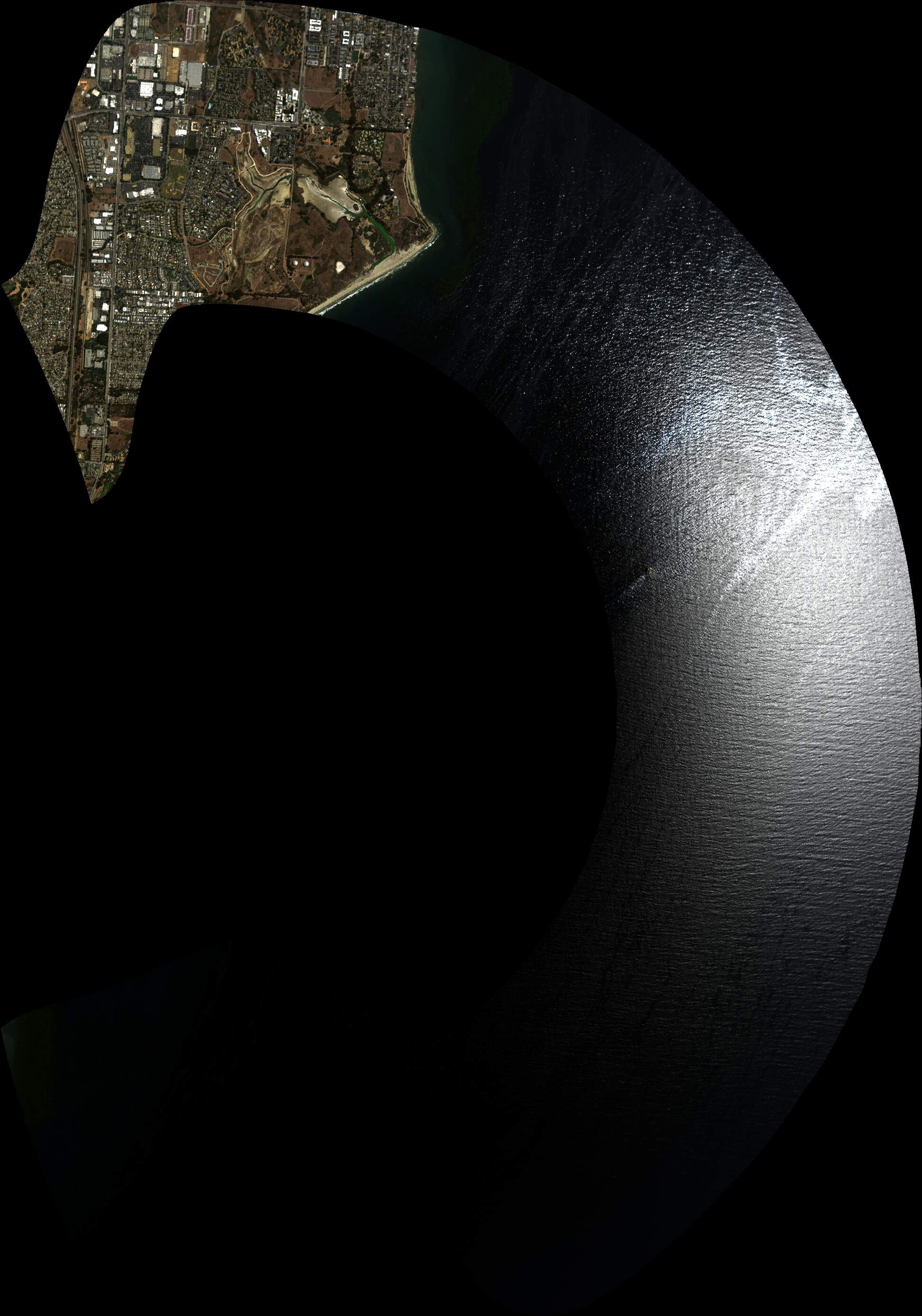
| 181112 | Soil_Comp_FL100 (orthocorrected) |
20M050 | Eric Kort | 34.267572 | -118.416493 | 34.234601 | -118.374208 | Alt = 5.7 kft SOG = 166 kts Clouds = clear MCRS = 300 |
||
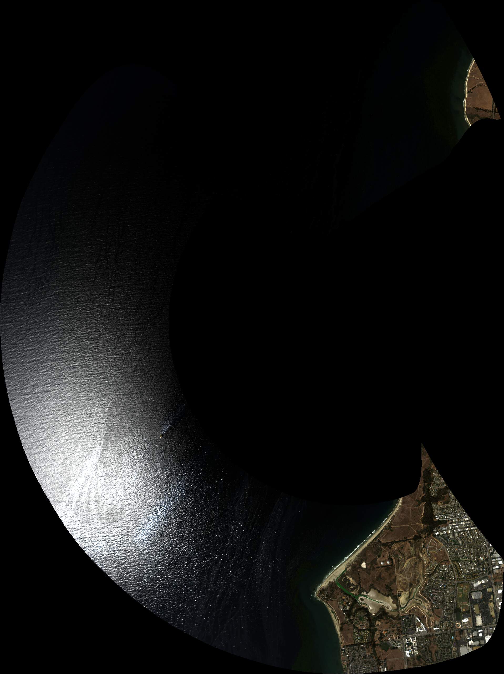
| 184217 | T06_W_FL100_UTC19.0_ASPD_145 (orthocorrected) |
20M050Glint | Eric Kort | 34.40894876 | -119.9413297 | 34.42503322 | -119.9511343 | Alt = 10.5 kft SOG = 176 kts Clouds = clear MCRS = 140 |
||
| 184755 | T06_W_FL100_UTC19.0_ASPD_145 (orthocorrected) |
20M050Glint | Eric Kort | 34.40894876 | -119.9413297 | 34.42503322 | -119.9511343 | Alt = 10.5 kft SOG = 186 kts Clouds = clear MCRS = |
||
| 185316 | T06_W_FL100_UTC19.0_ASPD_145 (orthocorrected) |
20M050Glint | Eric Kort | 34.40894876 | -119.9413297 | 34.42503322 | -119.9511343 | Alt = 10.5 kft SOG = 180 kts Clouds = clear MCRS = |
||
| 185907 | T06_W_FL100_UTC19.0_ASPD_145 (orthocorrected) |
20M050Glint | Eric Kort | 34.40894876 | -119.9413297 | 34.42503322 | -119.9511343 | Alt = 10.5 kft SOG = 176 kts Clouds = clear MCRS = 140 |
||
| 190440 | T07_W_FL100_UTC19.0_ASPD_145 (orthocorrected) |
20M050Glint | Eric Kort | 34.39338189 | -119.8900157 | 34.40948187 | -119.899783 | Alt = 10.5 kft SOG = 177 kts Clouds = clear MCRS = 140 |
||
| 191206 | T06_W_FL100_UTC19.0_ASPD_165 (orthocorrected) |
20M050Glint | Eric Kort | 34.41059368 | -119.9473662 | 34.42667757 | -119.9571722 | Alt = 10.5 kft SOG = 204 kts Clouds = clear MCRS = 140 |
||
| 191702 | T06_W_FL100_UTC19.0_ASPD_165 (orthocorrected) |
20M050Glint | Eric Kort | 34.41059368 | -119.9473662 | 34.42667757 | -119.9571722 | Alt = 10.5 kft SOG = 200 kts Clouds = clear MCRS = 140 |
||
| 192251 | T06_W_FL100_UTC19.0_ASPD_145 (orthocorrected) |
20M050Glint | Eric Kort | 34.40894876 | -119.9413297 | 34.42503322 | -119.9511343 | Alt = 10.5 kft SOG = 177 kts Clouds = clear MCRS = 140 |
||
| 192838 | T07_W_FL100_UTC19.0_ASPD_145 (orthocorrected) |
20M050Glint | Eric Kort | 34.39338189 | -119.8900157 | 34.40948187 | -119.899783 | Alt = 10.5 kft SOG = 178 kts Clouds = clear MCRS = 140 |
||
| 193440 | T01_W_FL100_UTC19.5_ASPD_145 (orthocorrected) |
20M050Glint | Eric Kort | 34.35813904 | -119.6557047 | 34.37571499 | -119.6605182 | Alt = 10.5 kft SOG = 171 kts Clouds = clear MCRS = 154 |
||
| 193932 | T02_W_FL100_UTC19.5_ASPD_145 (orthocorrected) |
20M050Glint | Eric Kort | 34.35705077 | -119.6370585 | 34.37463004 | -119.6418552 | Alt = 10.5 kft SOG = 171 kts Clouds = clear MCRS = 154 |
||
| 194338 | T05_W_FL100_UTC19.5_ASPD_145 (orthocorrected) |
20M050Glint | Eric Kort | 34.31230899 | -119.6171264 | 34.32989107 | -119.6219073 | Alt = 10.5 kft SOG = 172 kts Clouds = clear MCRS = 154 |
||
| 195017 | T01_W_FL100_UTC19.5_ASPD_145 (orthocorrected) |
20M050Glint | Eric Kort | 34.35813904 | -119.6557047 | 34.37571499 | -119.6605182 | Alt = 10.5 kft SOG = 172 kts Clouds = clear MCRS = 154 |
||
| 195555 | T03_W_FL100_UTC20.0_ASPD_145 (orthocorrected) |
20M050Glint | Eric Kort | 34.36470265 | -119.577043 | 34.38271909 | -119.5764026 | Alt = 10.5 kft SOG = 168 kts Clouds = clear MCRS = 168 |
||
| 200114 | T04_W_FL100_UTC20.0_ASPD_145 (orthocorrected) |
20M050Glint | Eric Kort | 34.36828222 | -119.5622417 | 34.38629846 | -119.5615875 | Alt = 10.5 kft SOG = 169 kts Clouds = clear MCRS = 168 |
||
| 200636 | T03_W_FL100_UTC20.0_ASPD_145 (orthocorrected) |
20M050Glint | Eric Kort | 34.36470265 | -119.577043 | 34.38271909 | -119.5764026 | Alt = 10.5 kft SOG = 170 kts Clouds = clear MCRS = 168 |
||
| 201205 | T04_W_FL100_UTC20.0_ASPD_145 (orthocorrected) |
20M050Glint | Eric Kort | 34.36828222 | -119.5622417 | 34.38629846 | -119.5615875 | Alt = 10.5 kft SOG = 170 kts Clouds = clear MCRS = 168 |
||
| 203829 | WinePaso002_FL100 (orthocorrected) |
20M053 | Katie Gold | 35.56857985 | -120.6387105 | 35.60106456 | -120.6054837 | Alt = 3.5 kft SOG = 175 kts Clouds = clear MCRS = 282 |
||
| 204347 | WinePaso001_FL100 (orthocorrected) |
20M053 | Katie Gold | 35.57030079 | -120.5921976 | 35.59375771 | -120.6502838 | Alt = 3.5 kft SOG = 150 kts Clouds = clear MCRS = 26 |
||
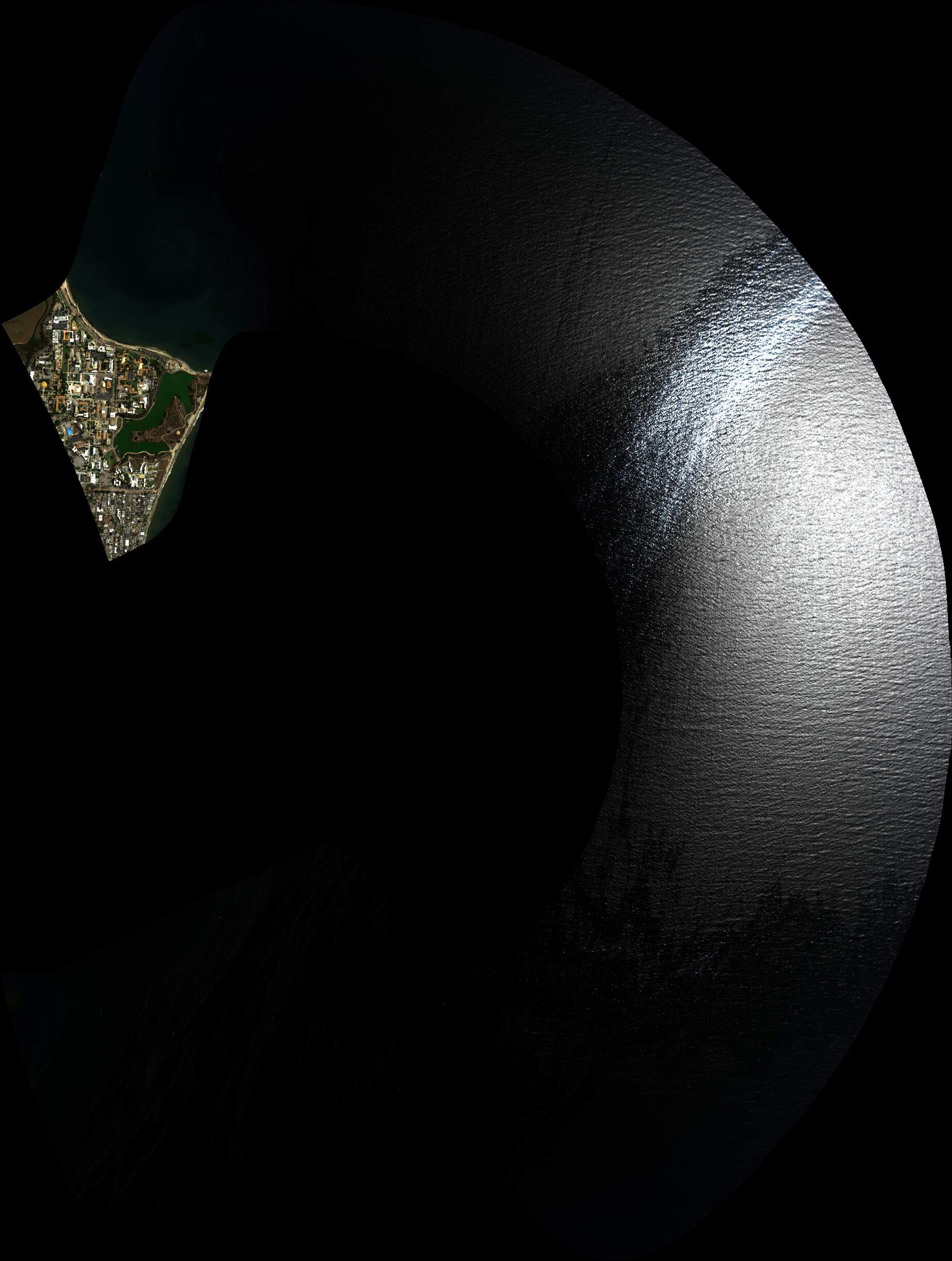
| 212120 | Cala_Land_FL100 (orthocorrected) |
20M050 | Eric Kort | 34.153666 | -118.669528 | 34.153782 | -118.748857 | Alt = 11 kft SOG = 193 kts Clouds = clear MCRS = 77 |
||
| 212928 | Soil_Comp_FL100 (quicklook in process) | 20M050 | Eric Kort | 34.267572 | -118.416493 | 34.234601 | -118.374208 | Alt 11= kft SOG = 170 kts Clouds = clear MCRS = NA |
||
| 213315 | Soil_Comp_FL100 (quicklook in process) | 20M050 | Eric Kort | 34.267572 | -118.416493 | 34.234601 | -118.374208 | Alt = 11 kft SOG = 182 kts Clouds = clear MCRS = 120 |
||
| 214531 | Olin_Land_FL100 (quicklook in process) | 20M050 | Eric Kort | 33.956419 | -117.805483 | 33.92293 | -117.860343 | Alt = 11 kft SOG = 164 kts Clouds = clear MCRS = 221 |
||
| 220130 | Sobr_Land_FL100 (orthocorrected) |
20M050 | Eric Kort | 33.818903 | -117.423406 | 33.776476 | -117.509348 | Alt = 11 kft SOG = 188 kts Clouds = clear MCRS = 46 |
||
| 221056 | Bowe_Land_FL100 (orthocorrected) |
20M050 | Eric Kort | 33.752508 | -117.699209 | 33.68673 | -117.706269 | Alt = 11 kft SOG = 167 kts Clouds = clear MCRS = 172 |
||
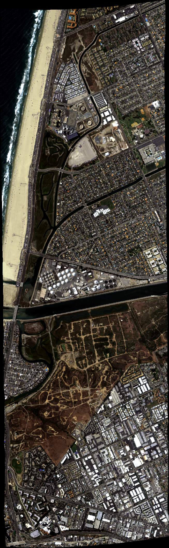
| 221730 | Oran_Powr_FL100 (orthocorrected) |
20M050 | Eric Kort | 33.648212 | -117.982706 | 33.631216 | -117.936938 | Alt = 11 kft SOG = 165 kts Clouds = clear MCRS = 281 |
||
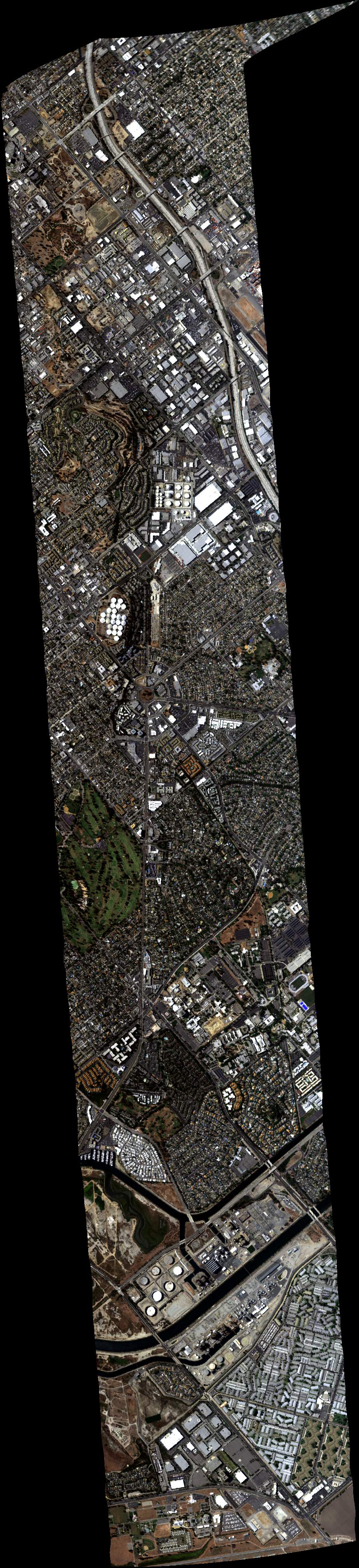
| 222128 | Sign_Ener_FL100 (orthocorrected) |
20M050 | Eric Kort | 33.814627 | -118.18124 | 33.758925 | -118.089641 | Alt = 11 kft SOG = 174 kts Clouds = clear MCRS = 293 |
 Back to AVIRIS NG Flight Season page