
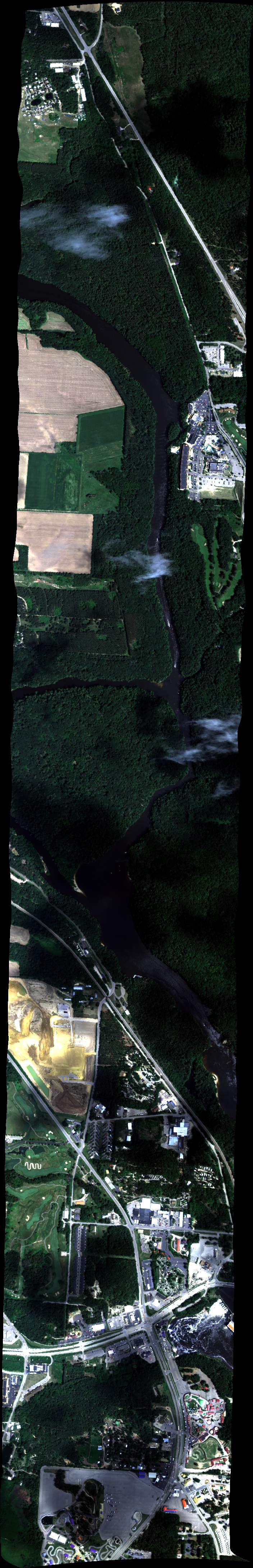
| Run ID | Site Name | NASA Log # | Investigator | Start Lat | Start Lon | Stop Lat | Stop Lon | Start GMT | Stop GMT | Comments |
| 150429 | Blackhawk Island Hi (orthocorrected) |
19M028 | Philip Townsend | 43.62300000 | -89.79210000 | 43.68190000 | -89.79110000 | 1504 | 1507 | Alt = 11 kft SOG = 147.0 kts Clouds = Clear below, some above, Line OK MCRS = 3.6 |
| 151213 | Blackhawk Island Lo 2 (orthocorrected) |
19M028 | Philip Townsend | 43.6227567414886 | -89.7874499050553 | 43.676717028083 | -89.7899484744807 | 1512 | 1514 | Alt = 7 kft SOG = 161.0 kts Clouds = Clouds above, Line OK MCRS = 181 |
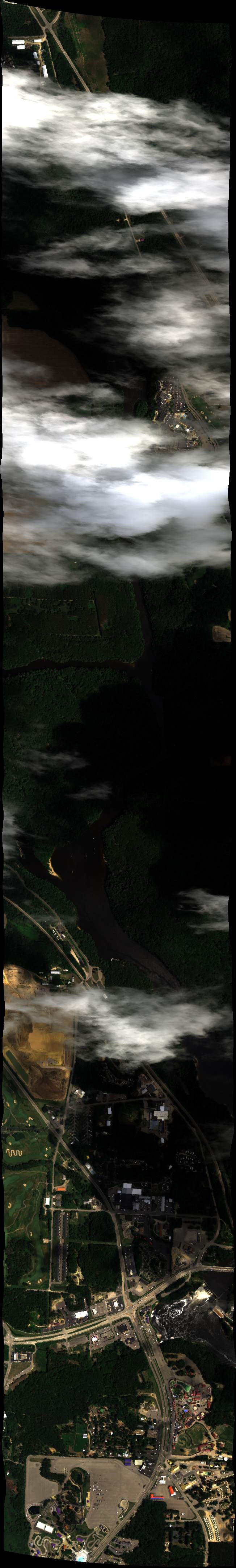
| 151634 | Blackhawk Island Lo 1 (orthocorrected) |
19M028 | Philip Townsend | 43.6764927994608 | -89.7991132849366 | 43.6225329324583 | -89.7966065339203 | 1515 | 1519 | Alt = 7 kft SOG = 134.0 kts Clouds = Clear below w/ shadows on ground, Line OK MCRS = 1 |
| 153034 | Blackhawk Island Lo 1 (orthocorrected) |
19M028 | Philip Townsend | 43.6764927994608 | -89.7991132849366 | 43.6225329324583 | -89.7966065339203 | 1530 | 1532 | Alt = 7 kft SOG = 136.0 kts Clouds = Clear below w/ shadows, Line OK MCRS = 1 |
| 153505 | Blackhawk Island Lo 2 (orthocorrected) |
19M028 | Philip Townsend | 43.6227567414886 | -89.7874499050553 | 43.676717028083 | -89.7899484744807 | 1535 | 1536 | Alt = 7 kft SOG = 153.0 kts Clouds = Clear below w/ shadows, Line OK MCRS = 181 |
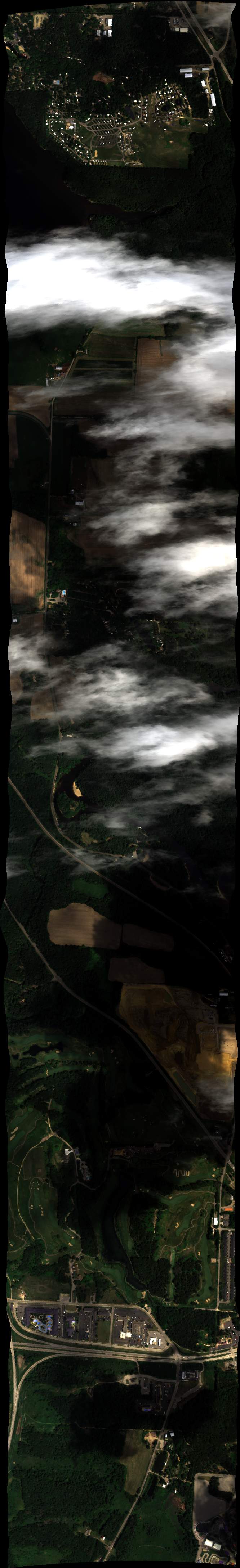
| 154143 | Blackhawk Island Lo 2 (orthocorrected) |
19M028 | Philip Townsend | 43.6227567414886 | -89.7874499050553 | 43.676717028083 | -89.7899484744807 | 1541 | 1544 | Alt = 7 kft SOG = 142.0 kts Clouds = Shadows w/ Low clouds building, Line OK MCRS = 1 |
| 154604 | Blackhawk Island Lo 1 (orthocorrected) |
19M028 | Philip Townsend | 43.6764927994608 | -89.7991132849366 | 43.6225329324583 | -89.7966065339203 | 1546 | 1548 | Alt = 7 kft SOG = 149.0 kts Clouds = Some clouds, Line OK MCRS = 181 |
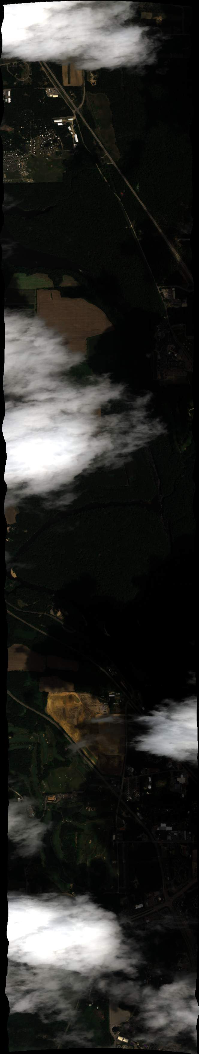
| 161625 | Blackhawk Island Hi (orthocorrected) |
19M028 | Philip Townsend | 43.62300000 | -89.79210000 | 43.68190000 | -89.79110000 | 1616 | 1618 | Alt = 9 kft SOG = 157.0 kts Clouds = Clear above w/ some below, Line OK MCRS = 183 |
| 162113 | Blackhawk Island Hi (orthocorrected) |
19M028 | Philip Townsend | 43.62300000 | -89.79210000 | 43.68190000 | -89.79110000 | 1621 | 1623 | Alt = 9 kft SOG = 148.0 kts Clouds = Clear above w/ some below, Line OK |
| 162702 | Blackhawk Island Hi (orthocorrected) |
19M028 | Philip Townsend | 43.62300000 | -89.79210000 | 43.68190000 | -89.79110000 | 1627 | 1628 | Alt = 9 kft SOG = 157.0 kts Clouds = Many, Line OK MCRS = 184; |
 Back to AVIRIS NG Flight Season page