
| Run ID | Site Name | NASA Log # | Investigator | Start Lat | Start Lon | Stop Lat | Stop Lon | Start GMT | Stop GMT | Comments |
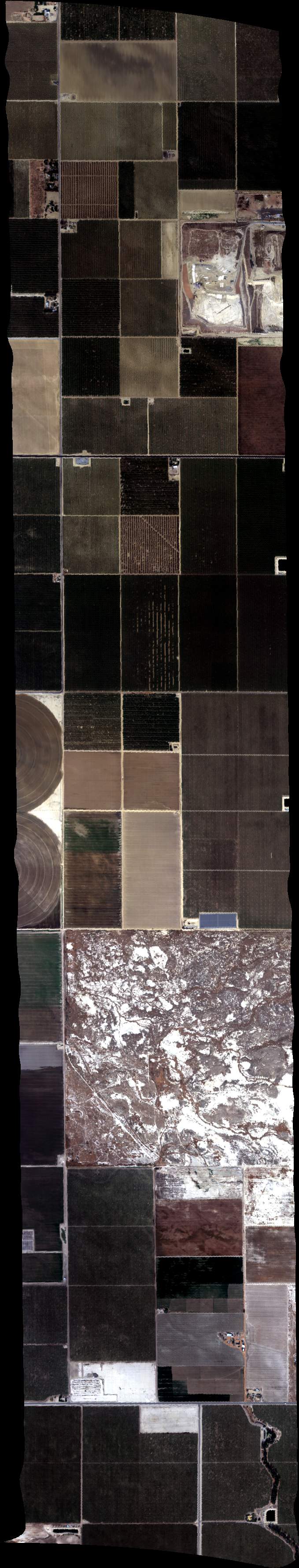
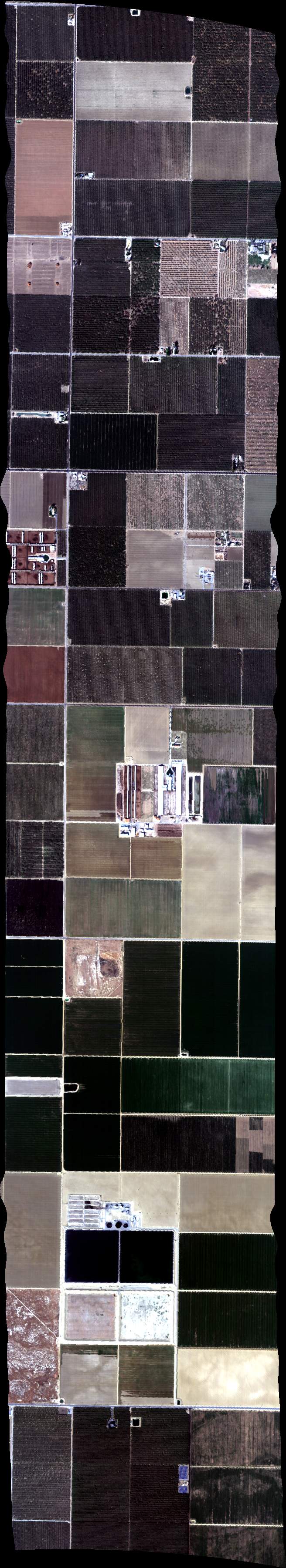
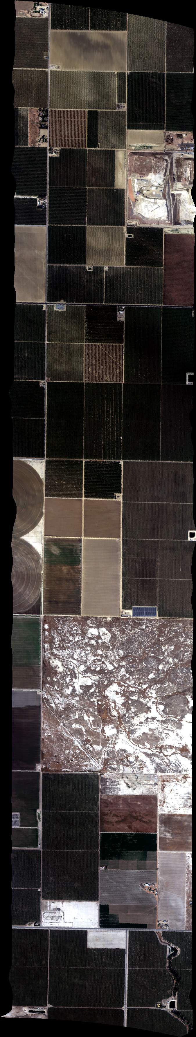
| 180852 | FA17_DAIRY07_L001_FL103 (orthocorrected) |
17M040u | Duren | 35.21928971 | -119.2228777 | 35.14488627 | -119.0840413 | 1808 | 1813 | Alt = 10.5 kft SOG = 155 kts Clouds = Scattered thin above MCRS = 289 |
| 181422 | FA17_DAIRY07_L002_FL103 (orthocorrected) |
17M040u | Duren | 35.15695209 | -119.0747838 | 35.2312792 | -119.2134699 | 1814 | 1818 | Alt = 10.5 kft SOG = 160 kts Clouds = Scattered thin above MCRS = 108.8 |
| 182028 | FA17_DAIRY07_L003_FL103 (orthocorrected) |
17M040u | Duren | 35.24326796 | -119.2040594 | 35.16901721 | -119.0655236 | 1820 | 1824 | Alt = 10.5 kft SOG = 149 kts Clouds = Scattered thin above MCRS = 289 |
| 182548 | FA17_DAIRY07_L004_FL103 (orthocorrected) |
17M040u | Duren | 35.18108162 | -119.0562606 | 35.255256 | -119.194646 | 1825 | 1830 | Alt = 10.5 kft SOG = 163 kts Clouds = Scattered thin above MCRS = 108.8 |
| 183114 | FA17_DAIRY07_L005_FL103 (orthocorrected) |
17M040u | Duren | 35.26724331 | -119.1852299 | 35.19314533 | -119.0469949 | 1831 | 1835 | Alt = 10.5 kft SOG = 145 kts Clouds = Scattered thin above MCRS = 288 |
| 183645 | FA17_DAIRY07_L006_FL103 (orthocorrected) |
17M040u | Duren | 35.20520834 | -119.0377264 | 35.27922989 | -119.175811 | 1836 | 1840 | Alt = 10.5 kft SOG = 166 kts Clouds = Scattered thin above MCRS = 108.9 |
| 184215 | FA17_DAIRY07_L007_FL103 (orthocorrected) |
17M040u | Duren | 35.29121574 | -119.1663893 | 35.21727063 | -119.0284552 | 1842 | 1846 | Alt = 10.5 kft SOG = 155 kts Clouds = Scattered thin above MCRS = 288 |
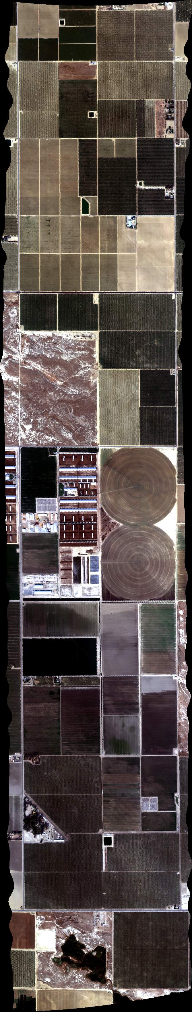
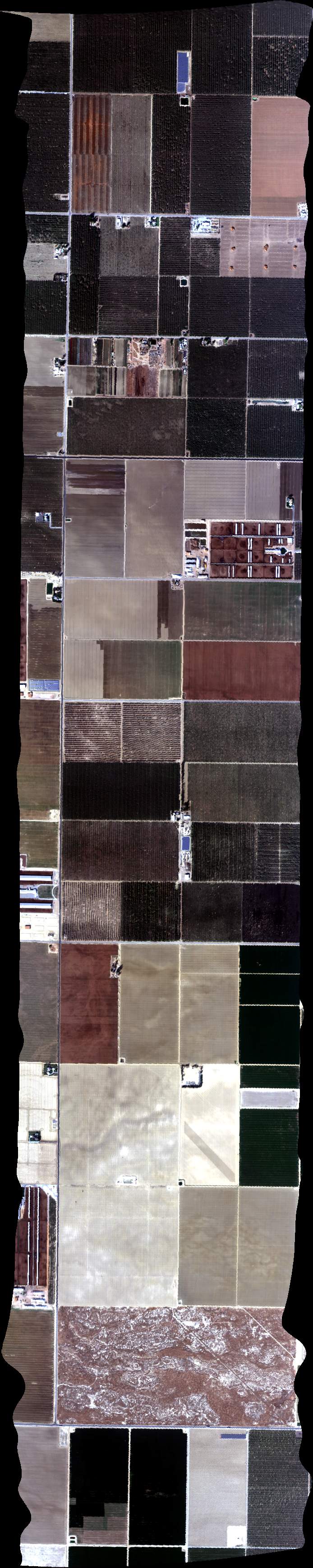
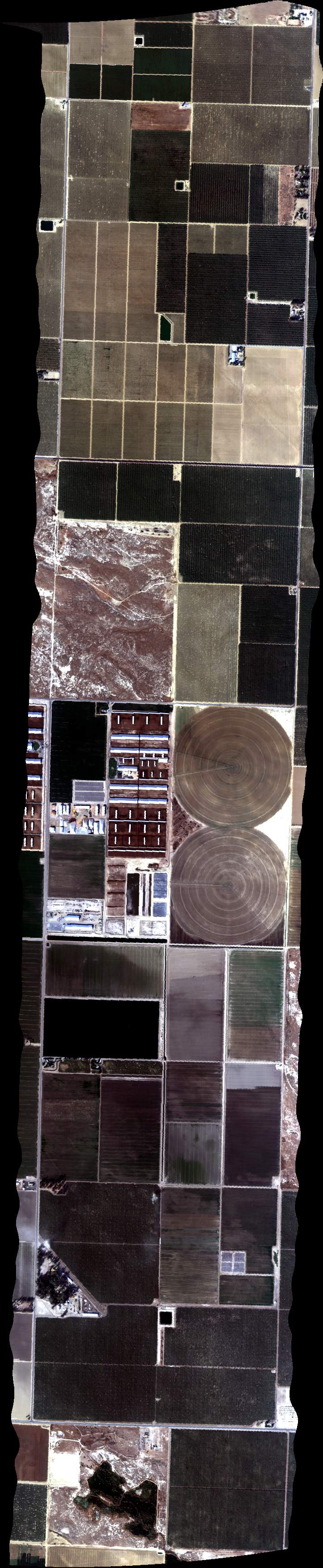
| 184946 | FA17_DAIRY06_L009_FL103 (orthocorrected) |
17M040u | Duren | 35.51896505 | -119.3262472 | 35.4403964 | -119.3262664 | 1849 | 1852 | Alt = 10.5 kft SOG = 150 kts Clouds = Scattered thin above MCRS = 345 |
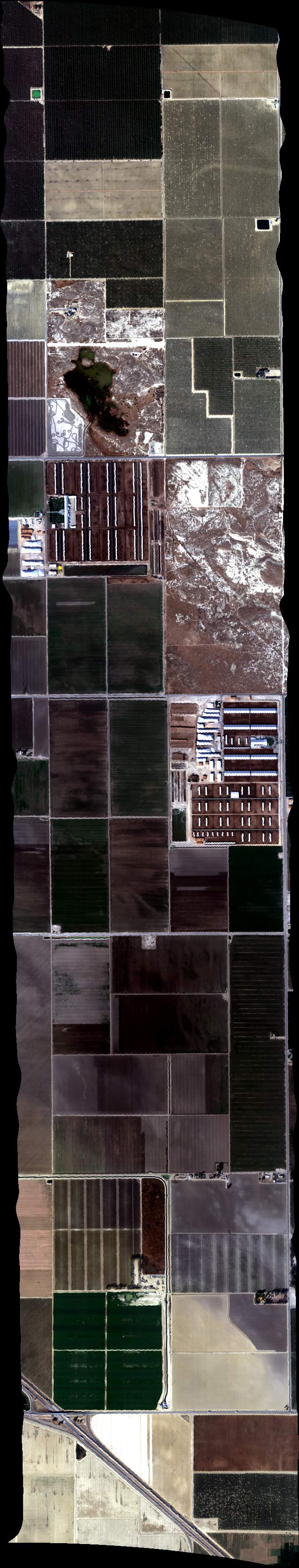
| 185442 | FA17_DAIRY06_L008_FL103 (orthocorrected) |
17M040u | Duren | 35.44057508 | -119.3437453 | 35.51911221 | -119.3437432 | 1854 | 1857 | Alt = 10.5 kft SOG = 158 kts Clouds = Scattered thin above MCRS = 165.6 |
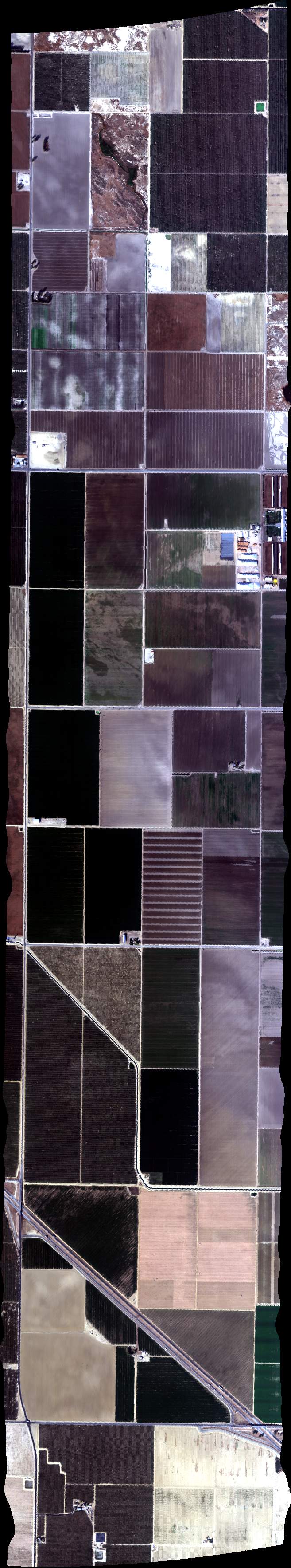
| 185857 | FA17_DAIRY06_L007_FL103 (orthocorrected) |
17M040u | Duren | 35.51925683 | -119.3612393 | 35.44075123 | -119.3612244 | 1858 | 1902 | Alt = 10.5 kft SOG = 142 kts Clouds = Scattered thin above MCRS = 345 |
| 190310 | FA17_DAIRY06_L006_FL103 (orthocorrected) |
17M040u | Duren | 35.44092486 | -119.3787035 | 35.51939894 | -119.3787355 | 1903 | 1906 | Alt = 10.5 kft SOG = 151 kts Clouds = Scattered thin above MCRS = 165.5 |
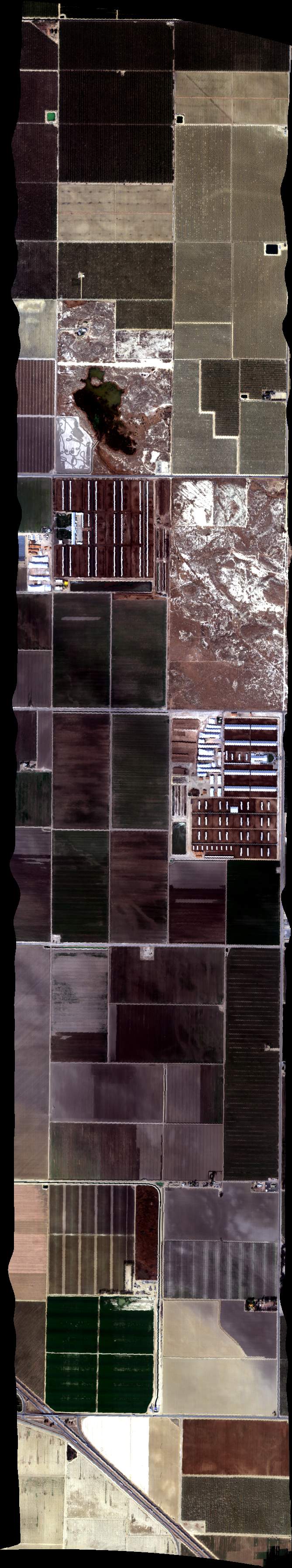
| 190721 | FA17_DAIRY06_L005_FL103 (orthocorrected) |
17M040u | Duren | 35.51953851 | -119.3962317 | 35.44109598 | -119.3961826 | 1907 | 1910 | Alt = 10.5 kft SOG = 145 kts Clouds = Scattered thin above MCRS = 345 |
| 191125 | FA17_DAIRY06_L004_FL103 (orthocorrected) |
17M040u | Duren | 35.44126457 | -119.4136619 | 35.51967556 | -119.413728 | 1911 | 1914 | Alt = 10.5 kft SOG = 151 kts Clouds = Scattered thin above MCRS = 165 |
| 191546 | FA17_DAIRY06_L003_FL103 (orthocorrected) |
17M040u | Duren | 35.51981008 | -119.4312243 | 35.44143065 | -119.4311412 | 1915 | 1918 | Alt = 10.5 kft SOG = 161 kts Clouds = Scattered thin above MCRS = 345 |
| 191925 | FA17_DAIRY06_L002_FL103 (orthocorrected) |
17M040u | Duren | 35.44159421 | -119.4486206 | 35.51994208 | -119.4487207 | 1919 | 1922 | Alt = 10.5 kft SOG = 152 kts Clouds = Scattered thin above MCRS = 165 |
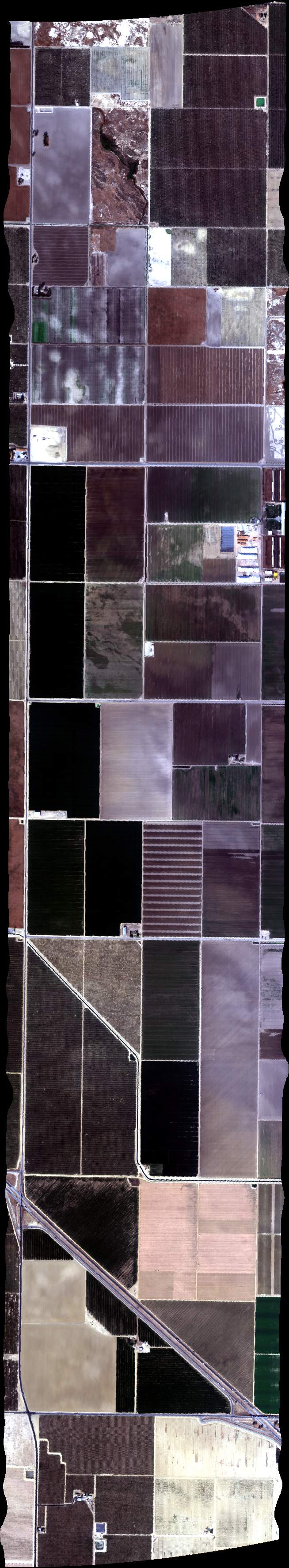
| 192327 | FA17_DAIRY06_L001_FL103 (orthocorrected) |
17M040u | Duren | 35.52007155 | -119.4662172 | 35.44175525 | -119.4661 | 1923 | 1926 | Alt = 10.5 kft SOG = 140 kts Clouds = Scattered thin above MCRS = 345 |
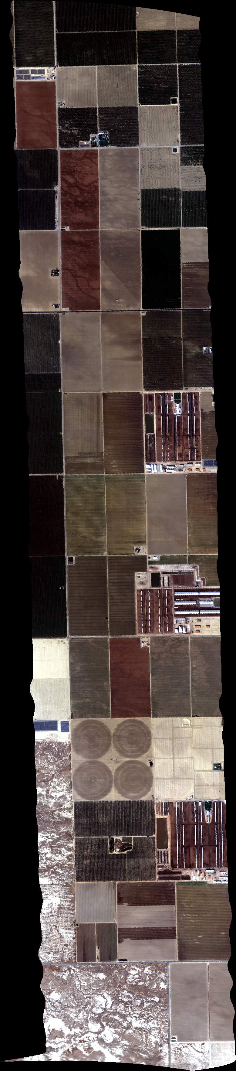
| 193233 | FA17_DAIRY07_L001_FL103 (orthocorrected) |
17M040u | Duren | 35.21928971 | -119.2228777 | 35.14488627 | -119.0840413 | 1932 | 1936 | Alt = 10.5 kft SOG = 150 kts Clouds = Scattered thin above MCRS = 108.8 |
| 193740 | FA17_DAIRY07_L002_FL103 (orthocorrected) |
17M040u | Duren | 35.15695209 | -119.0747838 | 35.2312792 | -119.2134699 | 1937 | 1941 | Alt = 10.5 kft SOG = 156 kts Clouds = Scattered thin above MCRS = 288 |
| 194233 | FA17_DAIRY07_L003_FL103 (orthocorrected) |
17M040u | Duren | 35.24326796 | -119.2040594 | 35.16901721 | -119.0655236 | 1942 | 1946 | Alt = 10.5 kft SOG = 166 kts Clouds = Broken thin above MCRS = 108.9 |
| 194748 | FA17_DAIRY07_L004_FL103 (orthocorrected) |
17M040u | Duren | 35.18108162 | -119.0562606 | 35.255256 | -119.194646 | 1947 | 1952 | Alt = 10.5 kft SOG = 148 kts Clouds = Broken thin above MCRS = 289 |
| 195301 | FA17_DAIRY07_L005_FL103 (orthocorrected) |
17M040u | Duren | 35.26724331 | -119.1852299 | 35.19314533 | -119.0469949 | 1953 | 1957 | Alt = 10.5 kft SOG = 169 kts Clouds = Broken thin above MCRS = 108 |
| 195800 | FA17_DAIRY07_L006_FL103 (orthocorrected) |
17M040u | Duren | 35.20520834 | -119.0377264 | 35.27922989 | -119.175811 | 1958 | 2002 | Alt = 10.5 kft SOG = 151 kts Clouds = Broken thin above MCRS = 288 |
| 200300 | FA17_DAIRY07_L007_FL103 (orthocorrected) |
17M040u | Duren | 35.29121574 | -119.1663893 | 35.21727063 | -119.0284552 | 2003 | 2007 | Alt = 10.5 kft SOG = 166 kts Clouds = Broken thin above MCRS = 108 |
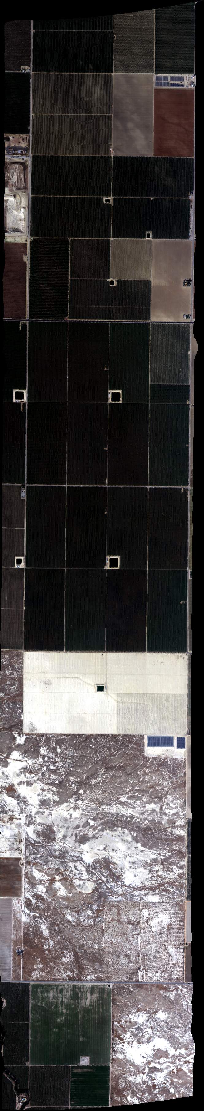
| 201416 | FA17_DAIRY06_L009_FL103 (orthocorrected) |
17M040u | Duren | 35.51896505 | -119.3262472 | 35.4403964 | -119.3262664 | 2014 | 2017 | Alt = 10.5 kft SOG = 148 kts Clouds = Scattered thin above MCRS = 345 |
| 201809 | FA17_DAIRY06_L008_FL103 (orthocorrected) |
17M040u | Duren | 35.44057508 | -119.3437453 | 35.51911221 | -119.3437432 | 2018 | 2021 | Alt = 10.5 kft SOG = 157 kts Clouds = Scattered thin above MCRS = 165.6 |
| 202204 | FA17_DAIRY06_L007_FL103 (orthocorrected) |
17M040u | Duren | 35.51925683 | -119.3612393 | 35.44075123 | -119.3612244 | 2022 | 2025 | Alt = 10.5 kft SOG = 149 kts Clouds = Scattered thin above MCRS = 345 |
| 202553 | FA17_DAIRY06_L006_FL103 (orthocorrected) |
17M040u | Duren | 35.44092486 | -119.3787035 | 35.51939894 | -119.3787355 | 2025 | 2028 | Alt = 10.5 kft SOG = 160 kts Clouds = Scattered thin above MCRS = 165 |
| 202949 | FA17_DAIRY06_L005_FL103 (orthocorrected) |
17M040u | Duren | 35.51953851 | -119.3962317 | 35.44109598 | -119.3961826 | 2029 | 2032 | Alt = 10.5 kft SOG = 150 kts Clouds = Scattered thin above MCRS = 345 |
| 203340 | FA17_DAIRY06_L004_FL103 (orthocorrected) |
17M040u | Duren | 35.44126457 | -119.4136619 | 35.51967556 | -119.413728 | 2033 | 2036 | Alt = 10.5 kft SOG = 166 kts Clouds = Scattered thin cirrus above MCRS = 165 |
| 203745 | FA17_DAIRY06_L003_FL103 (orthocorrected) |
17M040u | Duren | 35.51981008 | -119.4312243 | 35.44143065 | -119.4311412 | 2037 | 2040 | Alt = 10.5 kft SOG = 153 kts Clouds = Scattered thin cirrus above MCRS = 345 |
| 204118 | FA17_DAIRY06_L002_FL103 (orthocorrected) |
17M040u | Duren | 35.44159421 | -119.4486206 | 35.51994208 | -119.4487207 | 2041 | 2044 | Alt = 10.5 kft SOG = 151 kts Clouds = Scattered thin cirrus above MCRS = 165 |
| 204517 | FA17_DAIRY06_L001_FL103 (orthocorrected) |
17M040u | Duren | 35.52007155 | -119.4662172 | 35.44175525 | -119.4661 | 2045 | 2048 | Alt = 10.5 kft SOG = 153 kts Clouds = Scattered thin cirrus above MCRS = 345 |
| 205334 | FA17_DAIRY07_L007_FL103 (orthocorrected) |
17M040u | Duren | 35.29121574 | -119.1663893 | 35.21727063 | -119.0284552 | 2053 | 2057 | Alt = 10.5 kft SOG = 165 kts Clouds = Broken thin cirrus above MCRS = 108.9 |
| 205840 | FA17_DAIRY07_L006_FL103 (orthocorrected) |
17M040u | Duren | 35.20520834 | -119.0377264 | 35.27922989 | -119.175811 | 2058 | 2103 | Alt = 10.5 kft SOG = 132 kts Clouds = Broken thin cirrus above MCRS = 288.9 |
| 210409 | FA17_DAIRY07_L005_FL103 (orthocorrected) |
17M040u | Duren | 35.26724331 | -119.1852299 | 35.19314533 | -119.0469949 | 2104 | 2108 | Alt = 10.5 kft SOG = 171 kts Clouds = Broken thin cirrus above MCRS = 108 |
| 210910 | FA17_DAIRY07_L004_FL103 (orthocorrected) |
17M040u | Duren | 35.18108162 | -119.0562606 | 35.255256 | -119.194646 | 2109 | 2113 | Alt = 10.5 kft SOG = 150 kts Clouds = Broken thin cirrus above MCRS = 288 |
| 211414 | FA17_DAIRY07_L003_FL103 (orthocorrected) |
17M040u | Duren | 35.24326796 | -119.2040594 | 35.16901721 | -119.0655236 | 2114 | 2118 | Alt = 10.5 kft SOG = 166 kts Clouds = Broken thin cirrus above MCRS = 108 |
| 211916 | FA17_DAIRY07_L002_FL103 (orthocorrected) |
17M040u | Duren | 35.15695209 | -119.0747838 | 35.2312792 | -119.2134699 | 2119 | 2124 | Alt = 10.5 kft SOG = 137 kts Clouds = Broken thin cirrus above MCRS = 288 |
| 212445 | FA17_DAIRY07_L001_FL103 (orthocorrected) |
17M040u | Duren | 35.21928971 | -119.2228777 | 35.14488627 | -119.0840413 | 2124 | 2128 | Alt = 10.5 kft SOG = 169 kts Clouds = Broken thin cirrus above MCRS = 108.8 |
| 213541 | FA17_DAIRY06_L009_FL103 (orthocorrected) |
17M040u | Duren | 35.51896505 | -119.3262472 | 35.4403964 | -119.3262664 | 2135 | 2138 | Alt = 10.5 kft SOG = 150 kts Clouds = Scattered thin cirrus above MCRS = 345 |
| 213929 | FA17_DAIRY06_L008_FL103 (orthocorrected) |
17M040u | Duren | 35.44057508 | -119.3437453 | 35.51911221 | -119.3437432 | 2139 | 2142 | Alt = 10.5 kft SOG = 156 kts Clouds = Scattered thin cirrus above MCRS = 165 |
| 214308 | FA17_DAIRY06_L007_FL103 (orthocorrected) |
17M040u | Duren | 35.51925683 | -119.3612393 | 35.44075123 | -119.3612244 | 2143 | 2146 | Alt = 10.5 kft SOG = 143 kts Clouds = Scattered thin cirrus above MCRS = 345 |
| 214656 | FA17_DAIRY06_L006_FL103 (orthocorrected) |
17M040u | Duren | 35.44092486 | -119.3787035 | 35.51939894 | -119.3787355 | 2146 | 2149 | Alt = 10.5 kft SOG = 165 kts Clouds = Scattered thin cirrus above MCRS = 165 |
| 215028 | FA17_DAIRY06_L005_FL103 (orthocorrected) |
17M040u | Duren | 35.51953851 | -119.3962317 | 35.44109598 | -119.3961826 | 2150 | 2153 | Alt = 10.5 kft SOG = 145 kts Clouds = Scattered thin cirrus above MCRS = 345 |
| 215354 | FA17_DAIRY06_L004_FL103 (orthocorrected) |
17M040u | Duren | 35.44126457 | -119.4136619 | 35.51967556 | -119.413728 | 2153 | 2157 | Alt = 10.5 kft SOG = 148 kts Clouds = Scattered thin cirrus above MCRS = 165.5 |
| 215730 | FA17_DAIRY06_L003_FL103 (orthocorrected) |
17M040u | Duren | 35.51981008 | -119.4312243 | 35.44143065 | -119.4311412 | 2157 | 2200 | Alt = 10.5 kft SOG = 151 kts Clouds = Thin cirrus 50% of line MCRS = 345 |
| 220115 | FA17_DAIRY06_L002_FL103 (orthocorrected) |
17M040u | Duren | 35.44159421 | -119.4486206 | 35.51994208 | -119.4487207 | 2201 | 2204 | Alt = 10.5 kft SOG = 151 kts Clouds = Thin cirrus 50% of line MCRS = 165 |
| 220500 | FA17_DAIRY06_L001_FL103 (orthocorrected) |
17M040u | Duren | 35.52007155 | -119.4662172 | 35.44175525 | -119.4661 | 2205 | 2208 | Alt = 10.5 kft SOG = 149 kts Clouds = Thin cirrus 50% of line MCRS = 345 |
 Back to AVIRIS NG Flight Season page