
| Run ID | Site Name | NASA Log # | Investigator | Start Lat | Start Lon | Stop Lat | Stop Lon | Start GMT | Stop GMT | Comments |
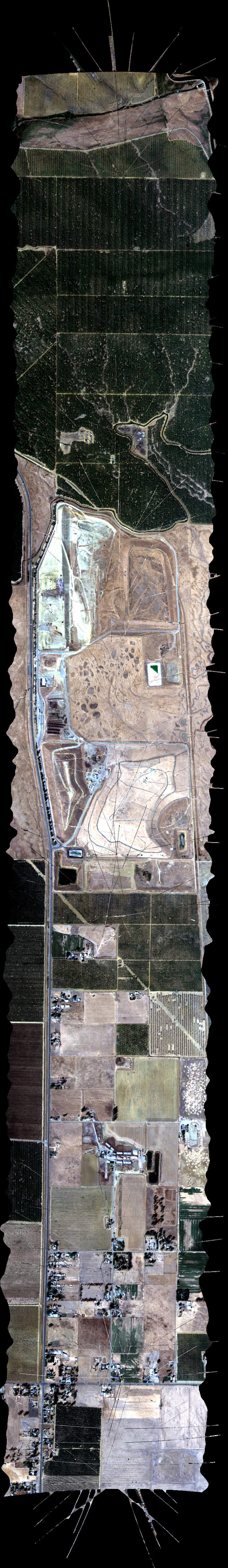
| 173722 | FA17_N05_L010_FL100 (orthocorrected) |
17M040n | Duren | 38.18947542 | -121.3856659 | 38.85386468 | -121.7707047 | 1737 | 1755 | Alt = 10.0 kft SOG = 146 kts Clouds = Very thin ground haze MCRS = 140 |
| 175827 | FA17_N05_L008_FL100 (orthocorrected) |
17M040n | Duren | 38.17731707 | -121.4184379 | 38.84115271 | -121.8034536 | 1758 | 1817 | Alt = 10.0 kft SOG = 151 kts Clouds = Very thin ground haze MCRS = 320 |
| 182059 | FA17_N05_L006_FL100 (orthocorrected) |
17M040n | Duren | 38.16514961 | -121.4511989 | 38.82843161 | -121.8361907 | 1820 | 1838 | Alt = 10.0 kft SOG = 162 kts Clouds = Very thin ground haze MCRS = 139 |
| 184204 | FA17_N05_L004_FL100 (orthocorrected) |
17M040n | Duren | 38.15297305 | -121.483949 | 38.81570137 | -121.8689162 | 1842 | 1900 | Alt = 10.0 kft SOG = 159 kts Clouds = Very thin ground haze MCRS = 319 |
| 190338 | FA17_N05_L002_FL100 (orthocorrected) |
17M040n | Duren | 38.14078741 | -121.5166881 | 38.80296201 | -121.90163 | 1903 | 1921 | Alt = 10.0 kft SOG = 150 kts Clouds = Very thin ground haze MCRS = 139 |
| 192610 | FA17_N05_L001_FL100 (orthocorrected) |
17M040n | Duren | 38.7965889 | -121.9179825 | 38.13469118 | -121.5330536 | 1926 | 1944 | Alt = 10.0 kft SOG = 143 kts Clouds = Very thin ground haze MCRS = 320 |
| 200237 | FA17_N_L003_FL101 (orthocorrected) |
17M040n | Duren | 37.81432475 | -121.6330027 | 37.69655835 | -121.4649294 | 2002 | 2008 | Alt = 10.1 kft SOG = 151 kts Clouds = Very thin ground haze MCRS = 115 |
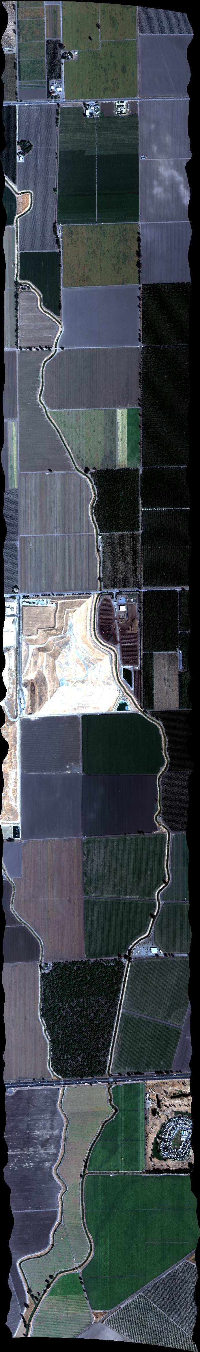
| 201619 | FA17_DAIRY01_L007_FL101 (orthocorrected) |
17M040u | Duren | 37.90859039 | -121.1048017 | 37.8751452 | -120.8113668 | 2016 | 2023 | Alt = 10.1 kft SOG = 155 kts Clouds = Very thin ground haze MCRS = 082 |
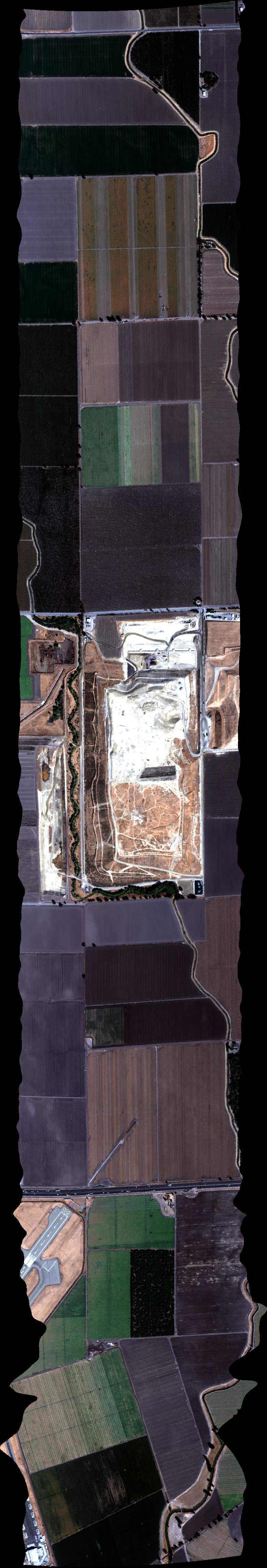
| 202537 | FA17_DAIRY01_L005_FL101 (orthocorrected) |
17M040u | Duren | 37.88023117 | -121.1084451 | 37.84694224 | -120.8163972 | 2025 | 2032 | Alt = 10.1 kft SOG = 152 kts Clouds = Haze at a distance, clear below MCRS = 262 |
| 203433 | FA17_DAIRY01_L003_FL101 (orthocorrected) |
17M040u | Duren | 37.85187184 | -121.1120857 | 37.81873906 | -120.8214239 | 2034 | 2041 | Alt = 10.1 kft SOG = 146 kts Clouds = Haze at a distance, clear below MCRS = 082 |
| 204400 | FA17_DAIRY01_L001_FL101 (orthocorrected) |
17M040u | Duren | 37.8235124 | -121.1157236 | 37.79053567 | -120.8264467 | 2044 | 2050 | Alt = 10.1 kft SOG = 153 kts Clouds = Haze at a distance, clear below MCRS = 262 |
| 205323 | FA17_DAIRY01_L002_FL101 (orthocorrected) |
17M040u | Duren | 37.80463739 | -120.8239358 | 37.83769214 | -121.113905 | 2053 | 2100 | Alt = 10.1 kft SOG = 147 kts Clouds = Haze at a distance, clear below MCRS = 082 |
| 210249 | FA17_DAIRY01_L004_FL101 (orthocorrected) |
17M040u | Duren | 37.83284068 | -120.818911 | 37.86605152 | -121.1102658 | 2102 | 2109 | Alt = 10.1 kft SOG = 153 kts Clouds = Haze at a distance, clear below MCRS = 262 |
| 211227 | FA17_DAIRY01_L006_FL101 (orthocorrected) |
17M040u | Duren | 37.86104375 | -120.8138825 | 37.89441079 | -121.1066238 | 2112 | 2119 | Alt = 10.1 kft SOG = 153 kts Clouds = Haze at a distance, clear below MCRS = 082 |
| 212656 | FA17_DAIRY02_L003_FL102 (orthocorrected) |
17M040u | Duren | 37.740677 | -120.895856 | 37.62573591 | -120.5287307 | 2126 | 2135 | Alt = 10.1 kft SOG = 158 kts Clouds = Haze at a distance, clear below MCRS = 096 |
| 213905 | FA17_DAIRY02_L001_FL102 (orthocorrected) |
17M040u | Duren | 37.71416171 | -120.9090014 | 37.59820932 | -120.5386477 | 2139 | 2147 | Alt = 10.1 kft SOG = 153 kts Clouds = Haze at a distance, clear below MCRS = 276 |
| 214945 | FA17_DAIRY02_L002_FL102 (quicklook in process) | 17M040u | Duren | 37.61197272 | -120.5336901 | 37.72741954 | -120.9024299 | 2149 | 2158 | Alt = 10.1 kft SOG = 154 kts Clouds = Haze at a distance, clear below MCRS = 096 |
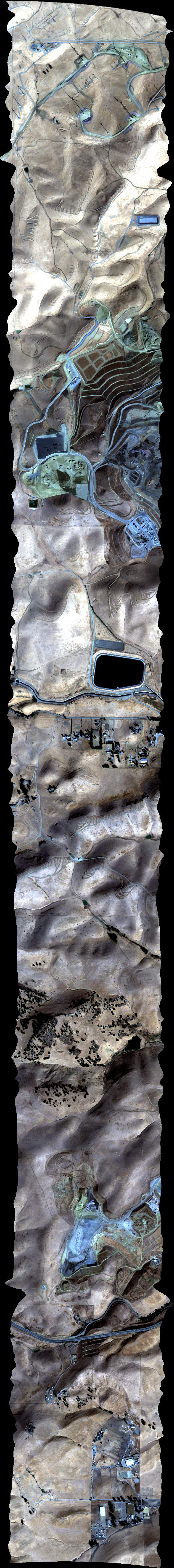
| 220126 | FA17_Land_L_012_FL067 (orthocorrected) |
17M040v | Duren | 37.424748 | -120.498618 | 37.362254 | -120.498744 | 2201 | 2204 | Alt = 6.7 kft SOG = 141 kts Clouds = Haze at a distance, clear below MCRS = 164 |
| 221311 | FA17_Land_L_011_FL066 (orthocorrected) |
17M040v | Duren | 37.605463 | -121.076557 | 37.60549 | -120.997515 | 2213 | 2215 | Alt = 6.6 kft SOG = 150 kts Clouds = Haze at a distance, clear below MCRS = 254 |
| 222158 | FA17_Land_L_010_FL066 (orthocorrected) |
17M040v | Duren | 37.872583 | -121.151076 | 37.8727 | -121.230189 | 2221 | 2224 | Alt = 6.6 kft SOG = 159 kts Clouds = Haze at a distance, clear below MCRS = 254 |
| 223216 | FA17_Land_L_009_FL066 (orthocorrected) |
17M040v | Duren | 37.881536 | -121.230397 | 37.881528 | -121.151001 | 2232 | 2234 | Alt = 6.6 kft SOG = 155 kts Clouds = Haze at a distance, clear below MCRS = 074 |
| 224240 | FA17_Land_L_007_FL075 (orthocorrected) |
17M040v | Duren | 37.759889 | -121.748317 | 37.759808 | -121.621801 | 2242 | 2246 | Alt = 7.5 kft SOG = 150 kts Clouds = Haze at a distance, clear below MCRS = 254 |
| 224906 | FA17_Land_L_008_FL075 (orthocorrected) |
17M040v | Duren | 37.752567 | -121.62168 | 37.75259 | -121.748319 | 2249 | 2252 | Alt = 7.5 kft SOG = 143 kts Clouds = Haze at a distance, clear below MCRS = 074 |
 Back to AVIRIS NG Flight Season page