
| Run ID | Site Name | NASA Log # | Investigator | Start Lat | Start Lon | Stop Lat | Stop Lon | Start GMT | Stop GMT | Comments |
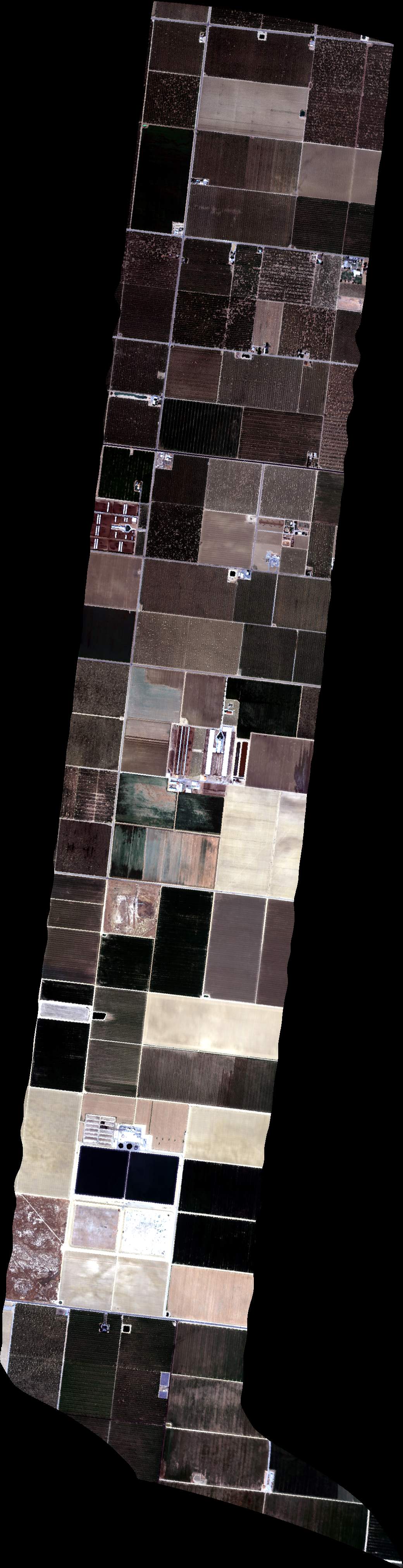
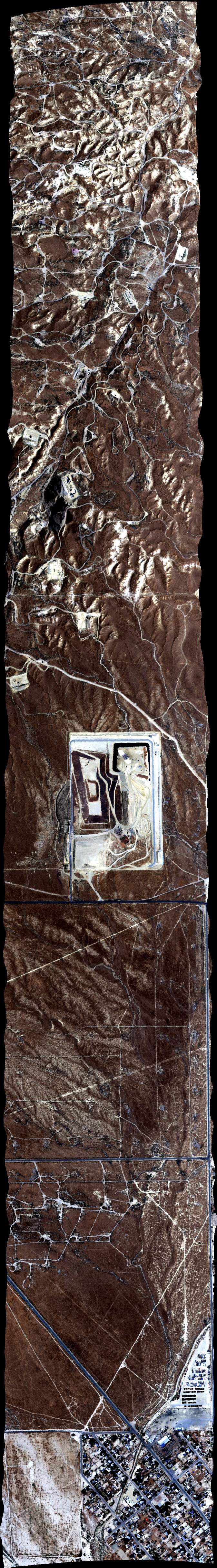
| 174311 | FA17_Coord1_L_005_FL068 (orthocorrected) |
17M040w | Duren | 35.476127 | -119.468696 | 35.476142 | -119.391736 | 1743 | 1745 | Alt = 7.0 kft SOG = 160 kts Clouds = Clear, some haze MCRS = 256 *West Star plumes |
| 174749 | FA17_Coord1_L_005_FL068 (orthocorrected) |
17M040w | Duren | 35.476127 | -119.468696 | 35.476142 | -119.391736 | 1747 | 1750 | |
| 175302 | FA17_Coord1_L_005_FL068 (orthocorrected) |
17M040w | Duren | 35.476127 | -119.468696 | 35.476142 | -119.391736 | 1753 | 1755 | Alt = 7.0 kft SOG = 150 kts Clouds = Clear, some haze MCRS = 256 |
| 175755 | FA17_Coord1_L_005_FL068 (orthocorrected) |
17M040w | Duren | 35.476127 | -119.468696 | 35.476142 | -119.391736 | 1757 | 1800 | Alt = 7.0 kft |
| 180634 | FA17_Coord1_L_005_FL068 (orthocorrected) |
17M040w | Duren | 35.476127 | -119.468696 | 35.476142 | -119.391736 | 1806 | 1809 | Alt = 10.0 kft |
| 181122 | FA17_Coord1_L_005_FL068 (orthocorrected) |
17M040w | Duren | 35.476127 | -119.468696 | 35.476142 | -119.391736 | 1811 | 1813 | Alt = 10.0 kft |
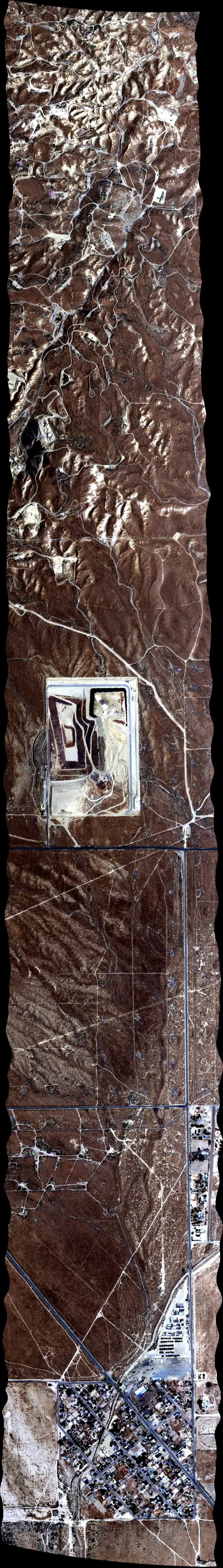
| 182418 | FA17_Coord1_L_003_FL079 (orthocorrected) |
17M040w | Duren | 35.277909 | -119.513757 | 35.2779 | -119.437043 | 1824 | 1827 | Alt = 8.0 kft SOG = 141 kts Clouds = Clear MCRS = 255 *Elk Hills big plume |
| 182947 | FA17_Coord1_L_003_FL079 (orthocorrected) |
17M040w | Duren | 35.277909 | -119.513757 | 35.2779 | -119.437043 | 1829 | 1832 | Alt = 8.0 kft |
| 183548 | FA17_Coord1_L_003_FL079 (orthocorrected) |
17M040w | Duren | 35.277909 | -119.513757 | 35.2779 | -119.437043 | 1835 | 1838 | Alt = 8.0 kft |
| 184134 | FA17_Coord1_L_003_FL079 (orthocorrected) |
17M040w | Duren | 35.277909 | -119.513757 | 35.2779 | -119.437043 | 1841 | 1844 | Alt = 8.0 kft Clouds = Clear |
| 184829 | FA17_CA_Compress_L_027_FL068 (orthocorrected) |
17M040s | Duren | 35.301201 | -119.345829 | 35.259229 | -119.272167 | 1848 | 1851 | Alt = 8.0 kft Clouds = Clear *Tupman line, no obvious |
| 185324 | FA17_CA_Compress_L_027_FL068 (orthocorrected) |
17M040s | Duren | 35.301201 | -119.345829 | 35.259229 | -119.272167 | 1853 | 1856 | |
| 190340 | FA17_CA_Compress_L_014_FL070 (orthocorrected) |
17M040s | Duren | 35.060873 | -119.119853 | 35.06085 | -118.965966 | 1903 | 1907 | Alt = 8.0 kft Clouds = Clear *Mettler, nice plume |
| 191037 | FA17_CA_Compress_L_014_FL070 (quicklook in process) | 17M040s | Duren | 35.060873 | -119.119853 | 35.06085 | -118.965966 | 1910 | 1915 | |
| 191722 | FA17_CA_Compress_L_014_FL070 (orthocorrected) |
17M040s | Duren | 35.060873 | -119.119853 | 35.06085 | -118.965966 | 1917 | 1921 | |
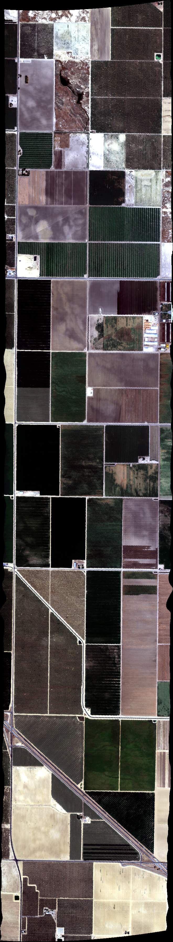
| 193535 | FA17_Coord1_L_004_FL080 (orthocorrected) |
17M040w | Duren | 35.253581 | -119.624868 | 35.253517 | -119.548106 | 1935 | 1938 | Alt = 8.0 kft *Midway, a few plumes |
| 194029 | FA17_Coord1_L_004_FL080 (orthocorrected) |
17M040w | Duren | 35.253581 | -119.624868 | 35.253517 | -119.548106 | 1940 | 1943 | Alt = 8.0 kft |
| 194533 | FA17_Coord1_L_004_FL080 (orthocorrected) |
17M040w | Duren | 35.253581 | -119.624868 | 35.253517 | -119.548106 | 1945 | 1948 | Alt = 8.0 kft |
| 195216 | FA17_Coord1_L_004_FL080 (orthocorrected) |
17M040w | Duren | 35.253581 | -119.624868 | 35.253517 | -119.548106 | 1952 | 1954 | Alt = 12.5 kft |
| 195709 | FA17_Coord1_L_004_FL080 (orthocorrected) |
17M040w | Duren | 35.253581 | -119.624868 | 35.253517 | -119.548106 | 1957 | 1959 | Alt = 12.5 kft |
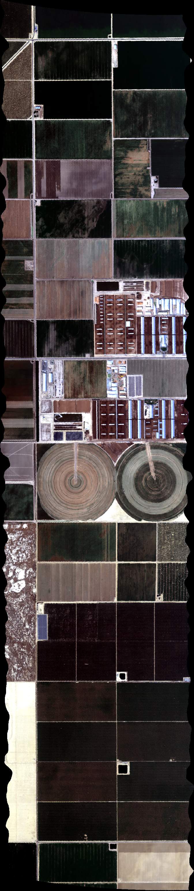
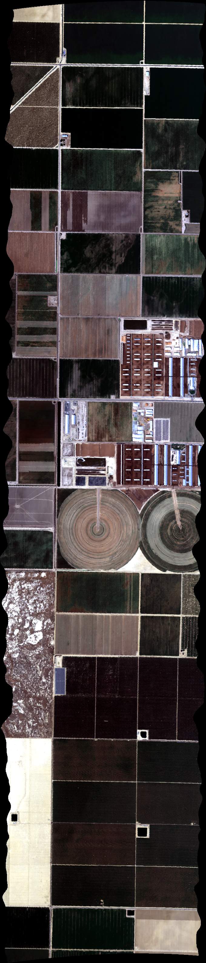
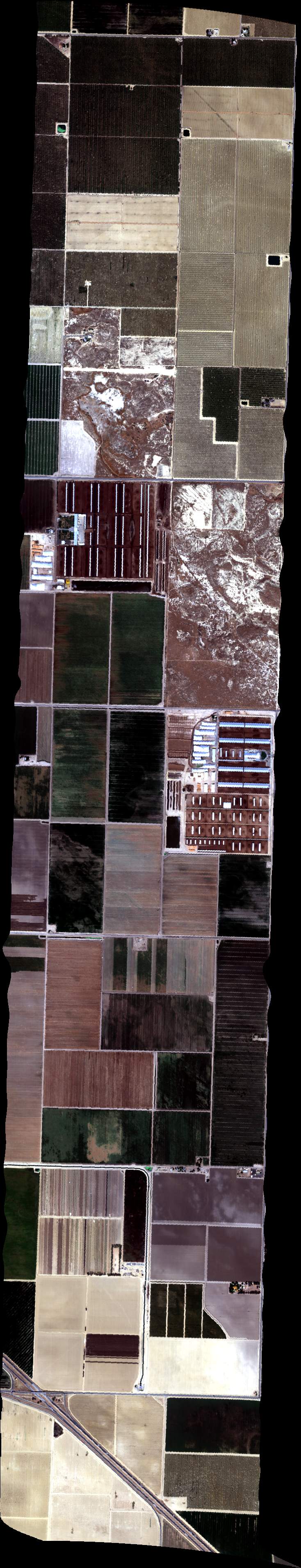
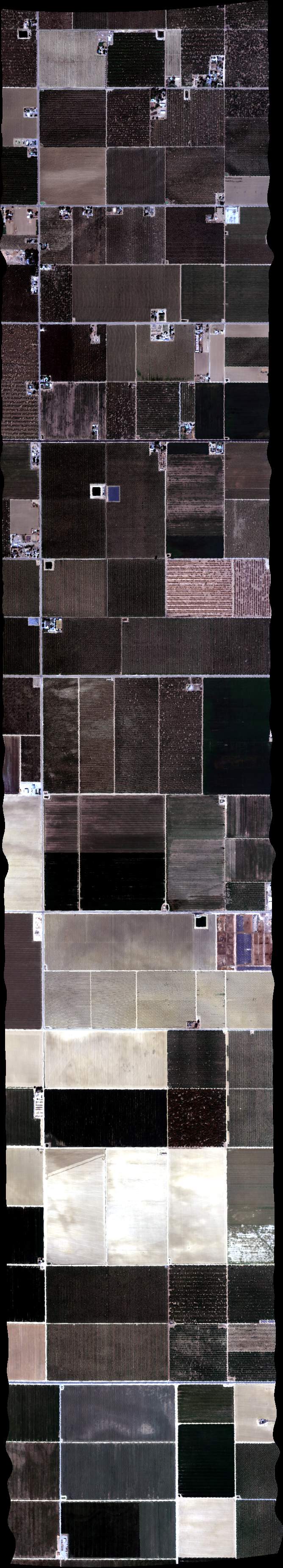
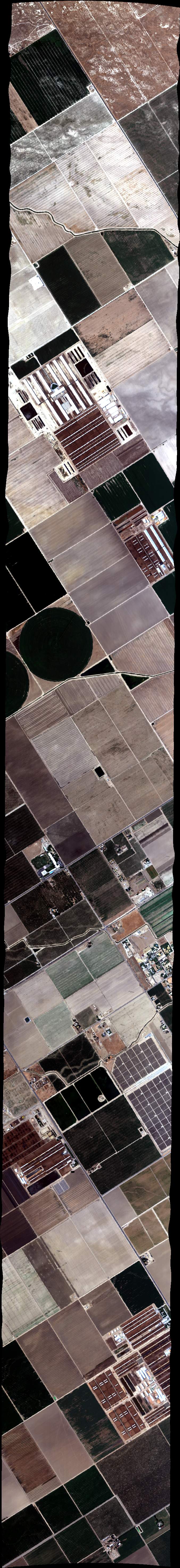
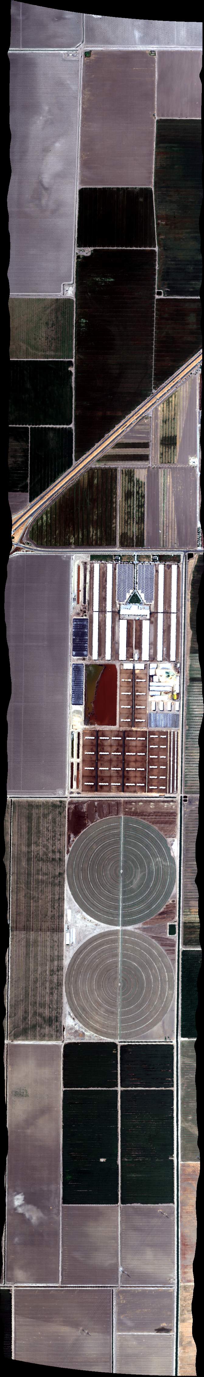
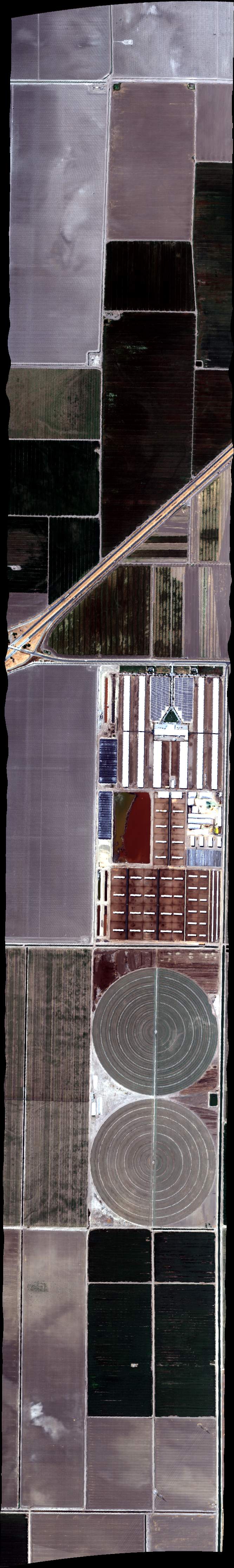
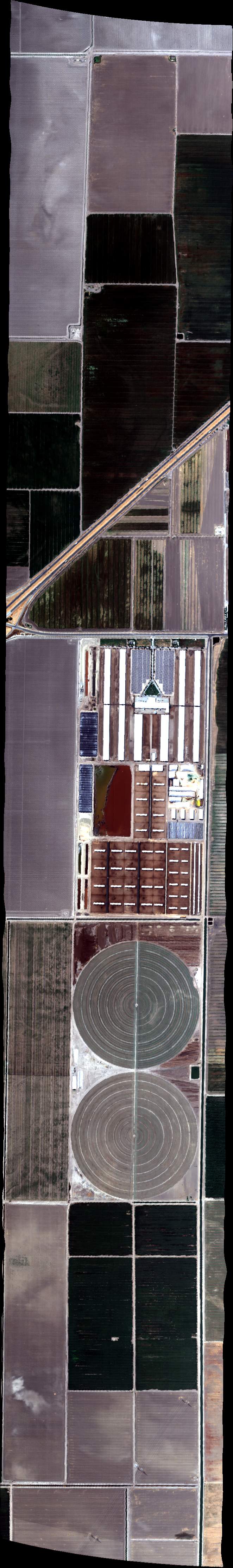
| 200739 | FA17_DAIRY06_L001_FL103 (orthocorrected) |
17M040u | Duren | 35.52007155 | -119.4662172 | 35.44175525 | -119.4661 | 2007 | 2010 | Alt = 10.3 kft |
| 201213 | FA17_DAIRY06_L002_FL103 (orthocorrected) |
17M040u | Duren | 35.44159421 | -119.4486206 | 35.51994208 | -119.4487207 | 2012 | 2014 | |
| 201559 | FA17_DAIRY06_L003_FL103 (orthocorrected) |
17M040u | Duren | 35.51981008 | -119.4312243 | 35.44143065 | -119.4311412 | 2015 | 2018 | Alt = 10.0 kft SOG = 163 kts Clouds = Clear MCRS = 345 |
| 201947 | FA17_DAIRY06_L004_FL103 (orthocorrected) |
17M040u | Duren | 35.44126457 | -119.4136619 | 35.51967556 | -119.413728 | 2019 | 2022 | Alt = 10.0 kft |
| 202344 | FA17_DAIRY06_L005_FL103 (orthocorrected) |
17M040u | Duren | 35.51953851 | -119.3962317 | 35.44109598 | -119.3961826 | 2023 | 2026 | |
| 202756 | FA17_DAIRY06_L006_FL103 (orthocorrected) |
17M040u | Duren | 35.44092486 | -119.3787035 | 35.51939894 | -119.3787355 | 2027 | 2030 | |
| 203157 | FA17_DAIRY06_L007_FL103 (orthocorrected) |
17M040u | Duren | 35.51925683 | -119.3612393 | 35.44075123 | -119.3612244 | 2031 | 2034 | Alt = 10.0 kft |
| 203558 | FA17_DAIRY06_L008_FL103 (orthocorrected) |
17M040u | Duren | 35.44057508 | -119.3437453 | 35.51911221 | -119.3437432 | 2035 | 2038 | Alt = 10.0 kft |
| 203954 | FA17_DAIRY06_L009_FL103 (orthocorrected) |
17M040u | Duren | 35.51896505 | -119.3262472 | 35.4403964 | -119.3262664 | 2039 | 2042 | Alt = 10.0 kft |
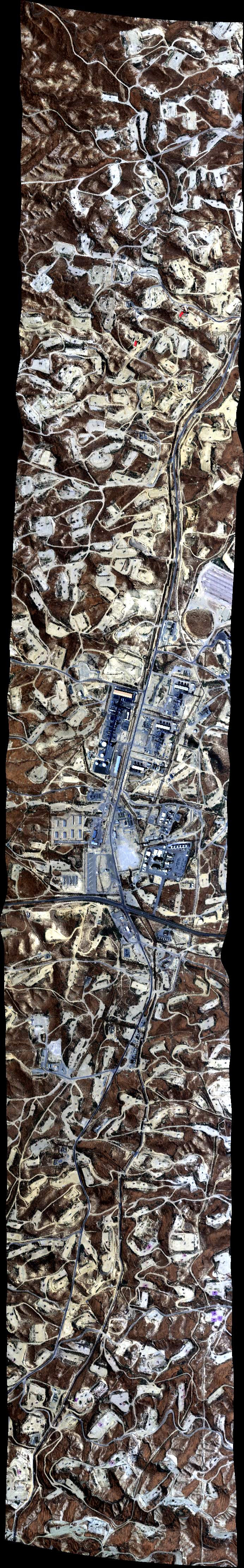
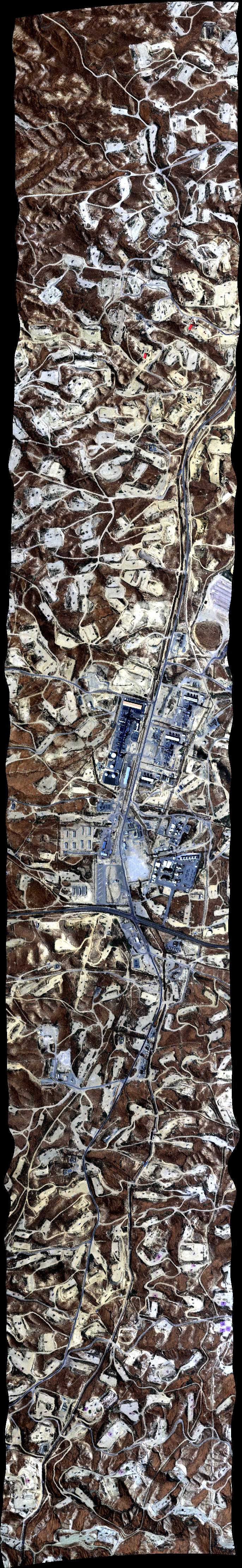
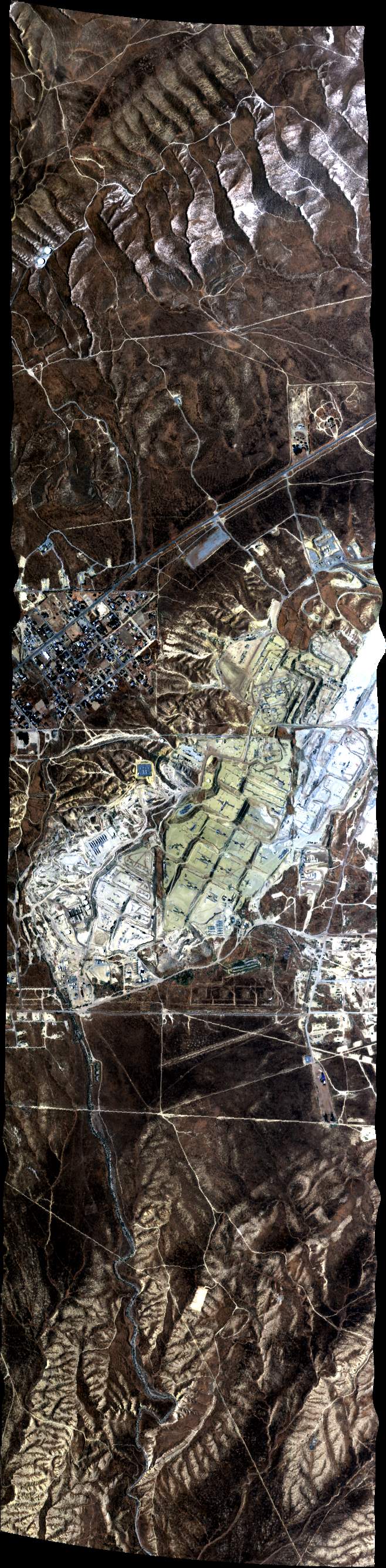
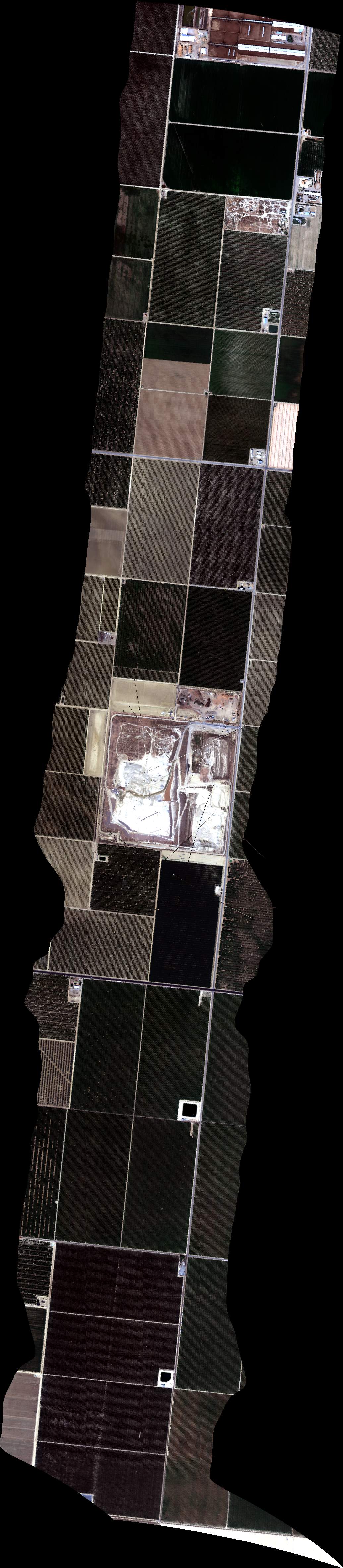
| 204558 | FA17_Land_L_028_FL089 (orthocorrected) |
17M040v | Duren | 35.29712 | -116.662134 | 35.234638 | -116.662072 | 2045 | 2048 | Alt = 7.0 kft |
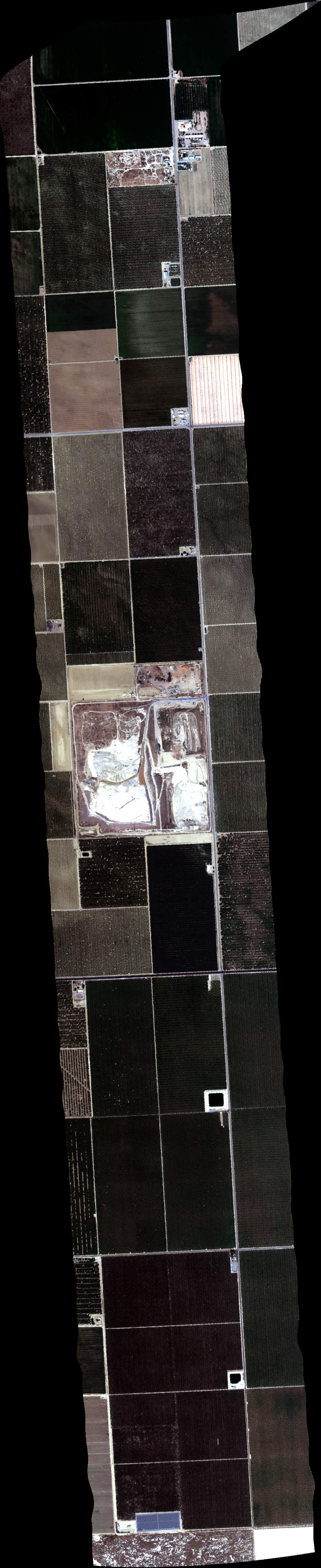
| 205006 | FA17_Land_L_028_FL089 (orthocorrected) |
17M040v | Duren | 35.29712 | -116.662134 | 35.234638 | -116.662072 | 2050 | 2052 | Alt = 7.0 kft |
| 210029 | FA17_Land_L_034_FL072 (orthocorrected) |
17M040v | Duren | 35.204835 | -119.489932 | 35.20484 | -119.413115 | 2100 | 2102 | SOG = 180 kts |
| 210419 | FA17_Land_L_034_FL072 (orthocorrected) |
17M040v | Duren | 35.204835 | -119.489932 | 35.20484 | -119.413115 | 2104 | 2106 | Alt = 7.0 kft SOG = 173 kts Clouds = Clear |
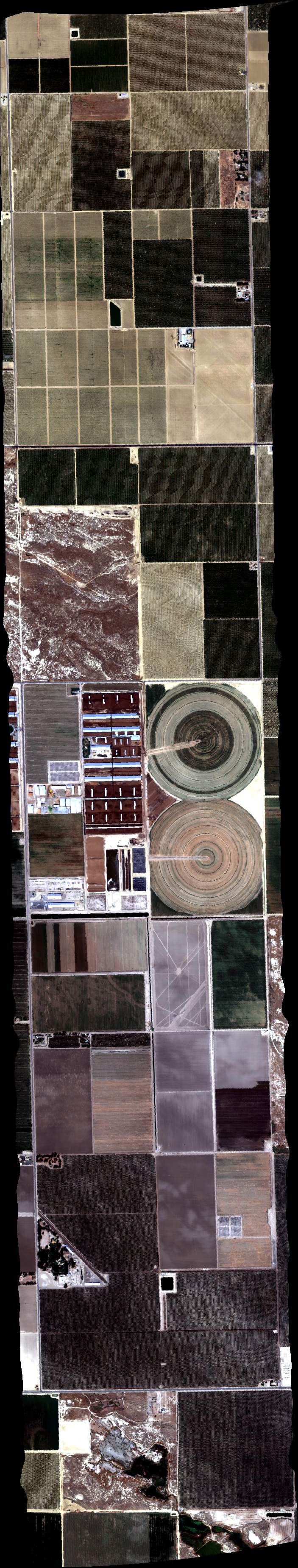
| 211449 | FA17_DAIRY07_L007_FL103 (orthocorrected) |
17M040u | Duren | 35.29121574 | -119.1663893 | 35.21727063 | -119.0284552 | 2114 | 2118 | Alt = 10.0 kft Clouds = Clear |
| 212121 | FA17_DAIRY07_L006_FL103 (orthocorrected) |
17M040u | Duren | 35.20520834 | -119.0377264 | 35.27922989 | -119.175811 | 2121 | 2128 | |
| 212814 | FA17_DAIRY07_L005_FL103 (orthocorrected) |
17M040u | Duren | 35.26724331 | -119.1852299 | 35.19314533 | -119.0469949 | 2128 | 2132 | |
| 213617 | FA17_Coord1_L_002_FL068 (orthocorrected) |
17M040w | Duren | 35.167368 | -119.139834 | 35.167224 | -119.063174 | 2136 | 2138 | Alt = 7.0 kft *Bidart, small plume |
| 214136 | FA17_Coord1_L_002_FL068 (orthocorrected) |
17M040w | Duren | 35.167368 | -119.139834 | 35.167224 | -119.063174 | 2141 | 2144 | |
| 214655 | FA17_Coord1_L_002_FL068 (orthocorrected) |
17M040w | Duren | 35.167368 | -119.139834 | 35.167224 | -119.063174 | 2146 | 2149 | |
| 215255 | FA17_Coord1_L_002_FL068 (orthocorrected) |
17M040w | Duren | 35.167368 | -119.139834 | 35.167224 | -119.063174 | 2152 | 2155 |
 Back to AVIRIS NG Flight Season page