
| Run ID | Site Name | NASA Log # | Investigator | Start Lat | Start Lon | Stop Lat | Stop Lon | Start GMT | Stop GMT | Comments |
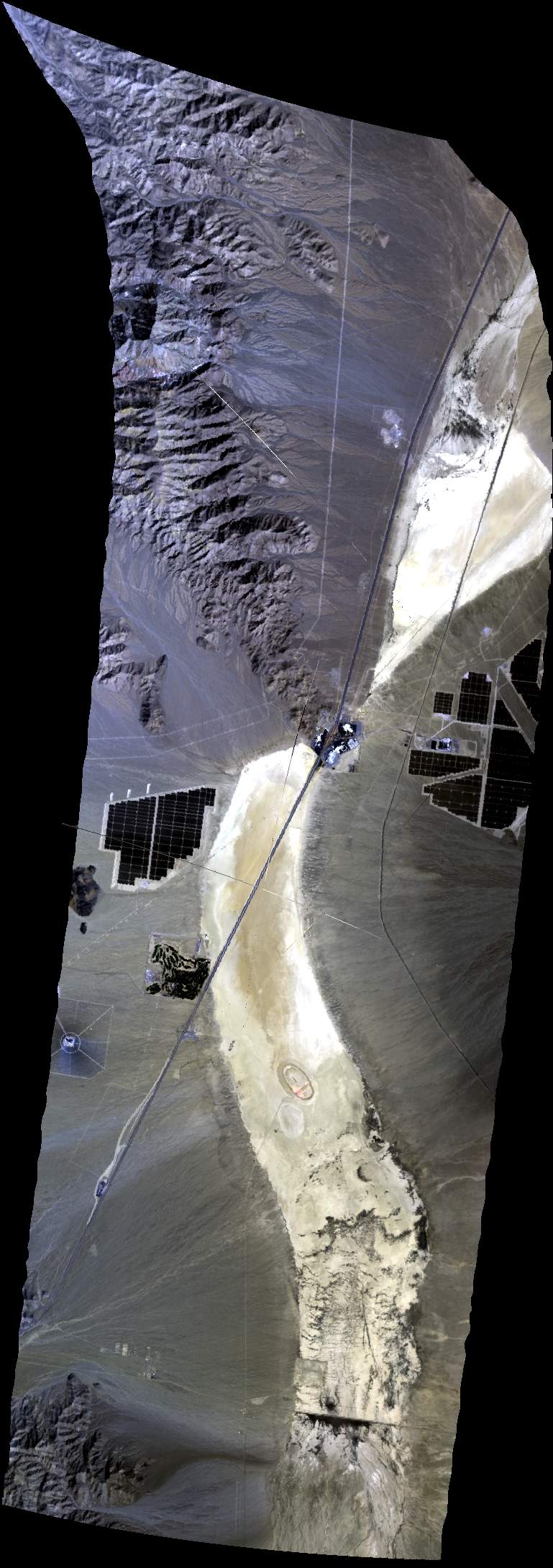
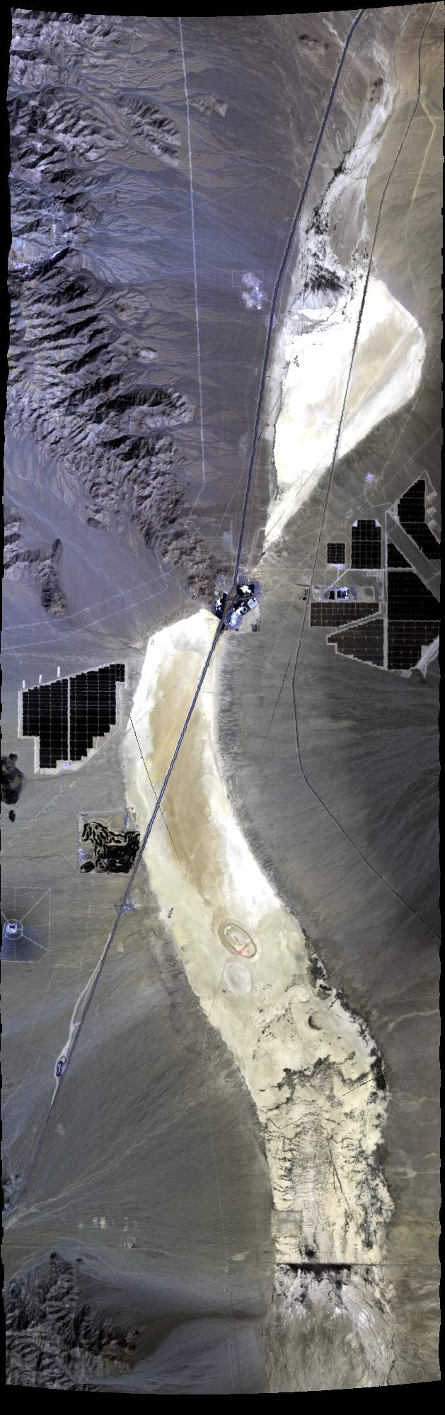
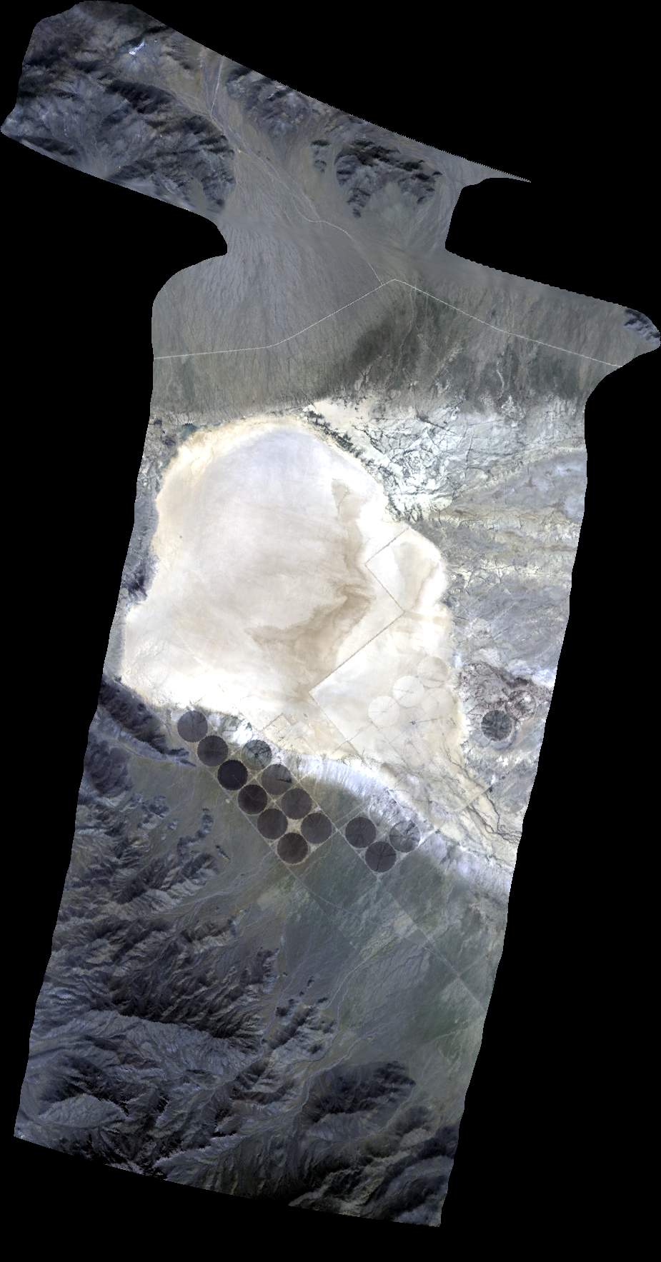
| 171943 | Ivanpah Playa (orthocorrected) |
35 42.24 | -115 23.70 | 35 26.04 | -115 23.70 | Thin haze (cirrus west) to Clear | ||||
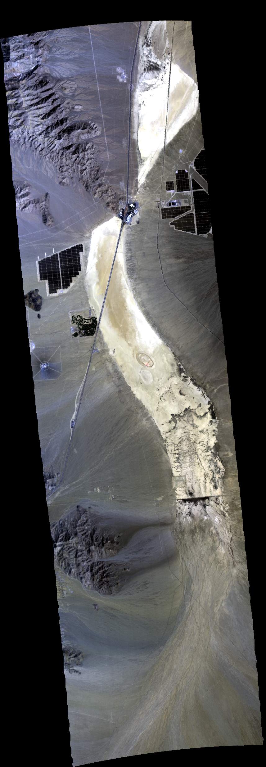
| 173033 | Ivanpah Playa (orthocorrected) |
35 26.04 | -115 23.70 | 35 42.24 | -115 23.70 | Clear | ||||
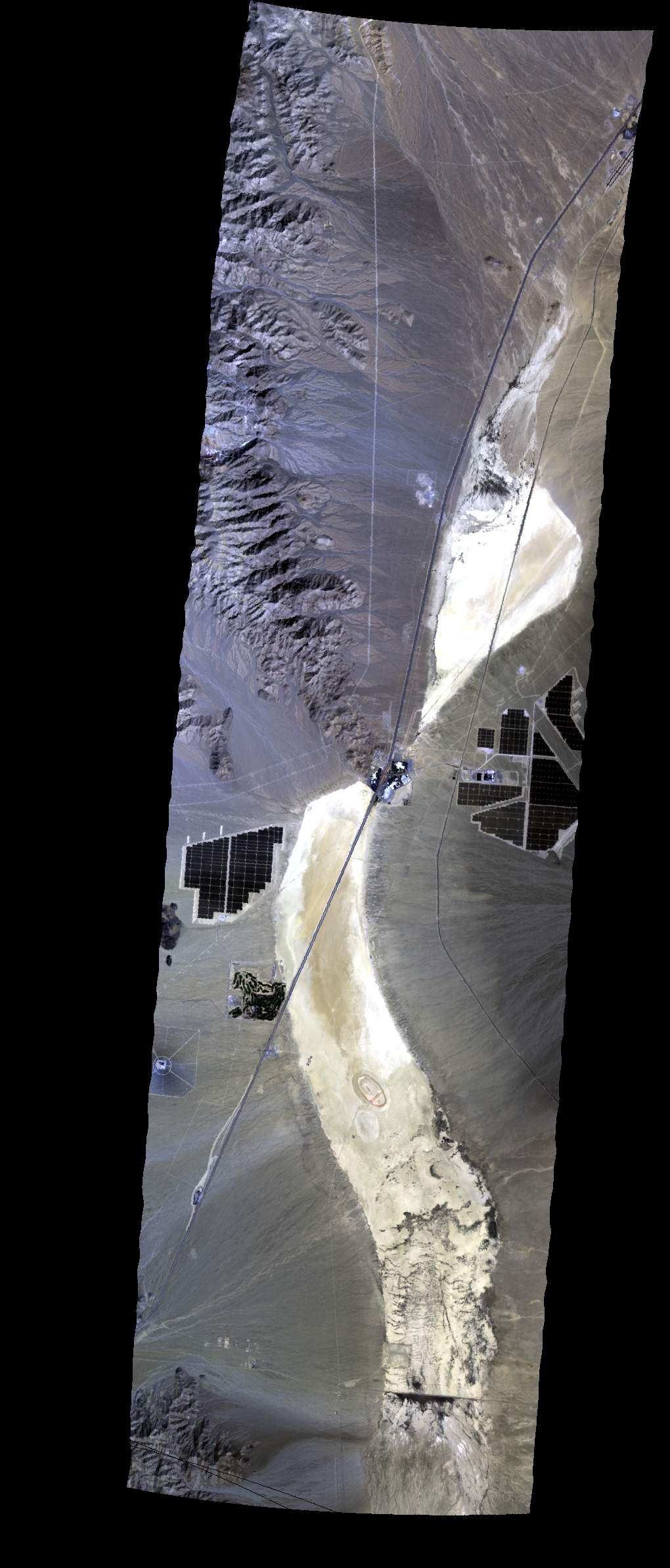
| 174145 | Ivanpah Playa (orthocorrected) |
35 42.24 | -115 23.70 | 35 26.04 | -115 23.70 | |||||
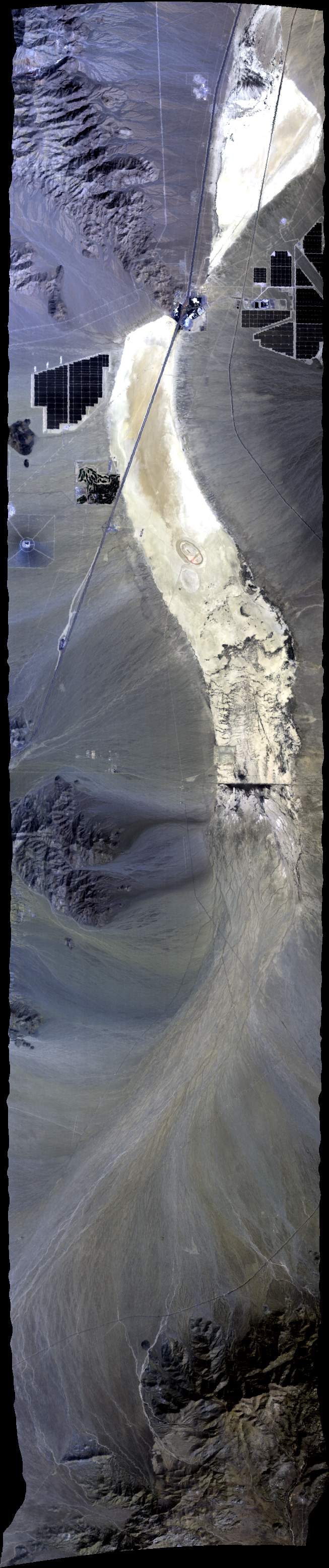
| 175245 | Ivanpah Playa (orthocorrected) |
35 26.04 | -115 23.70 | 35 42.24 | -115 23.70 | |||||
| 180525 | Ivanpah Playa (orthocorrected) |
35 42.24 | -115 23.70 | 35 26.04 | -115 23.70 | Clear | ||||
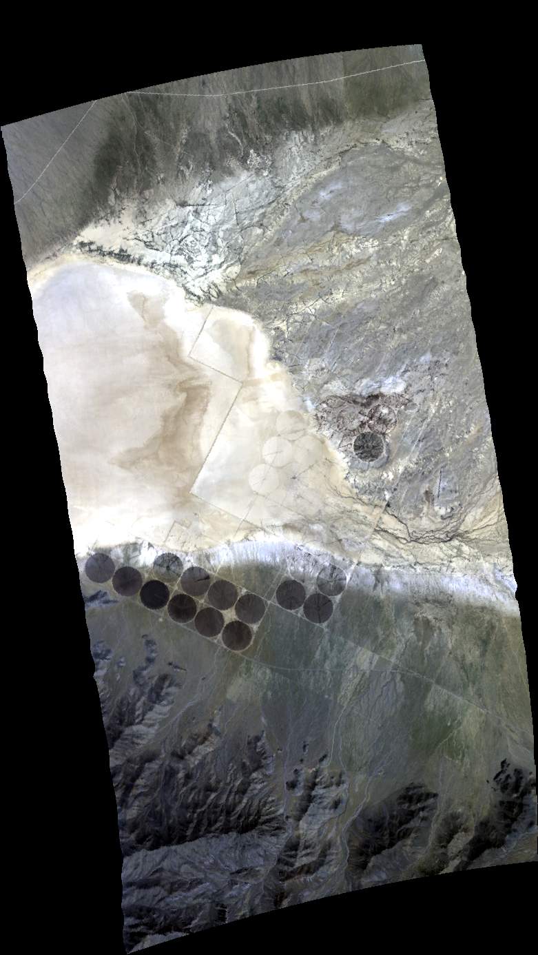
| 185531 | Sonoran Desert - 1st pass (orthocorrected) |
Clear | ||||||||
| 193714 | Sonoran Desert - 2nd pass (orthocorrected) |
|||||||||
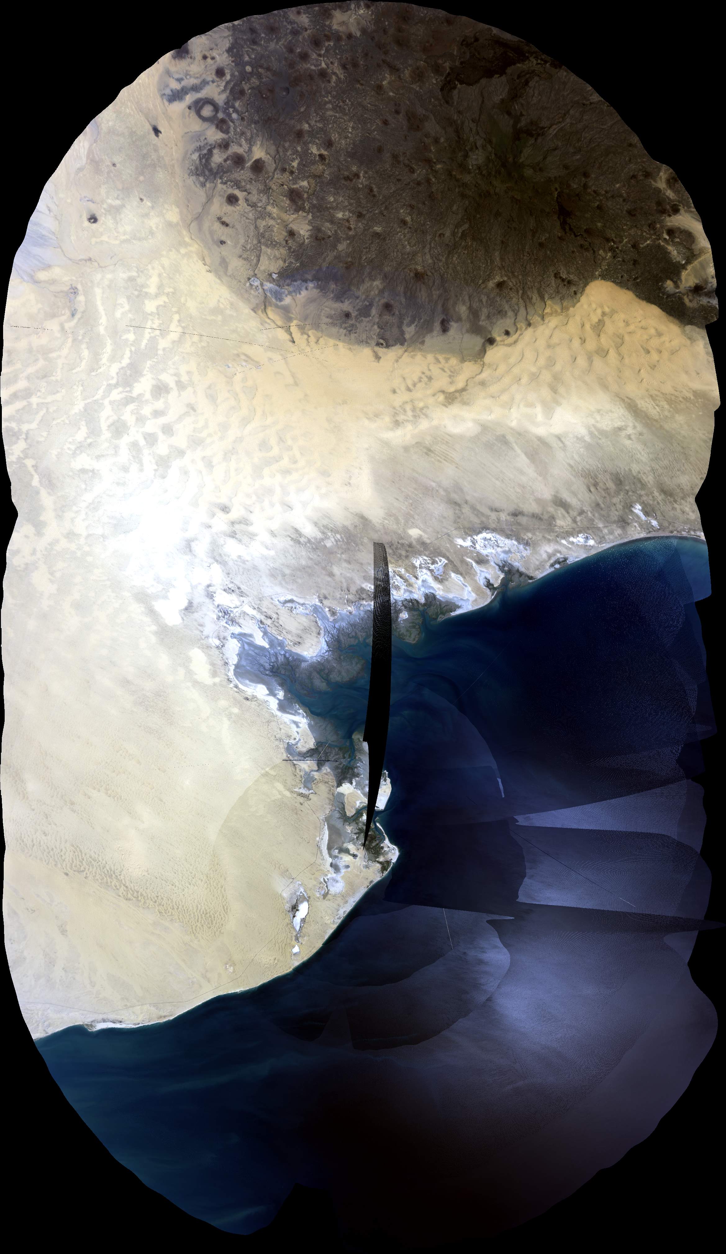
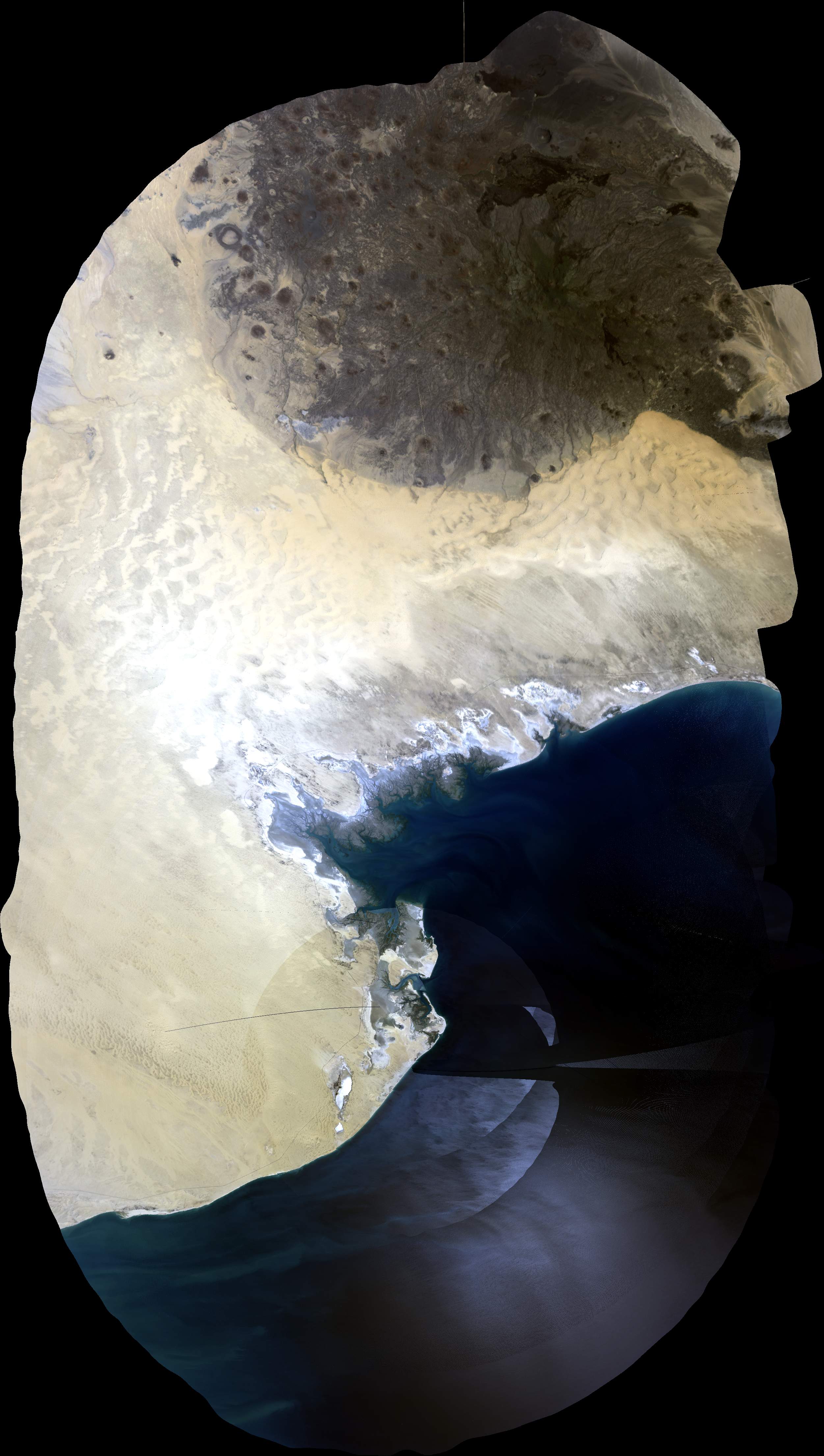
| 202059 | Transit - Sonoran Desert to Ivanpah (orthocorrected) |
31 23.33 | -114 28.66 | 34 24.41 | -115 18.21 | |||||
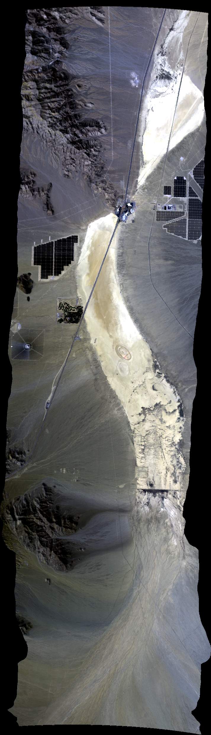
| 210208 | Red Lake Playa, Mohave County, AZ (orthocorrected) |
35 36.53 | -114 08.44 | 35 43.02 | -113 58.25 | |||||
| 211047 | Red Lake Playa, Mohave County, AZ (orthocorrected) |
35 43.02 | -113 58.25 | 35 36.53 | -114 08.44 | |||||
| 212316 | Ivanpah Playa (orthocorrected) |
35 26.04 | -115 23.70 | 35 42.24 | -115 23.70 |
 Back to AVIRIS NG Flight Season page