
| Run ID | Site Name | NASA Log # | Start_Lat | Start Lat | Start Lon | Stop Lat | Stop Lon | Start GMT | Stop GMT | Comments |
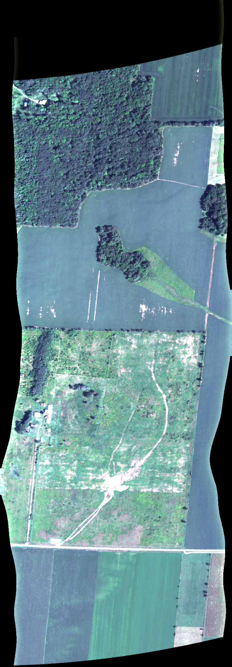
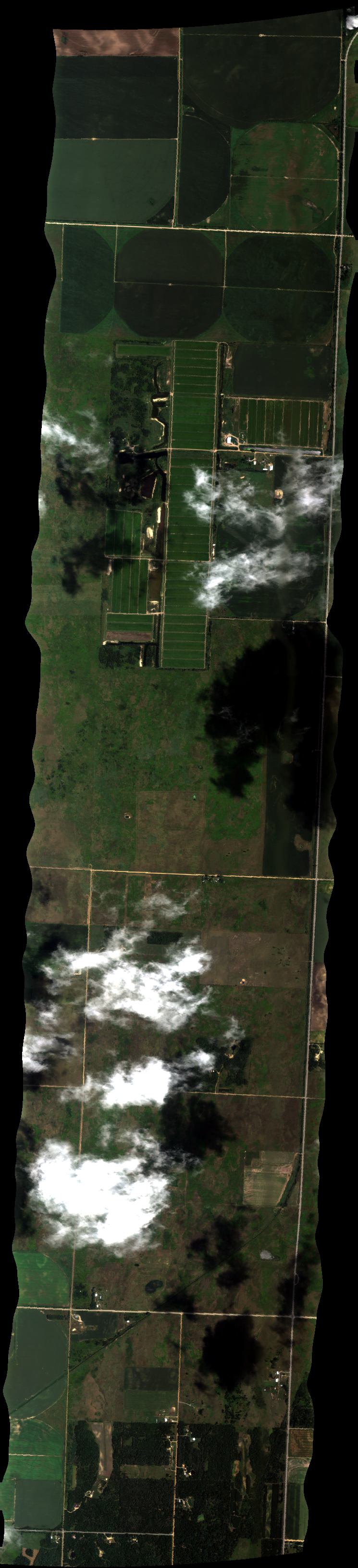
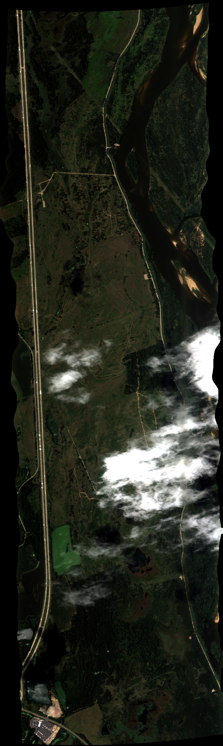
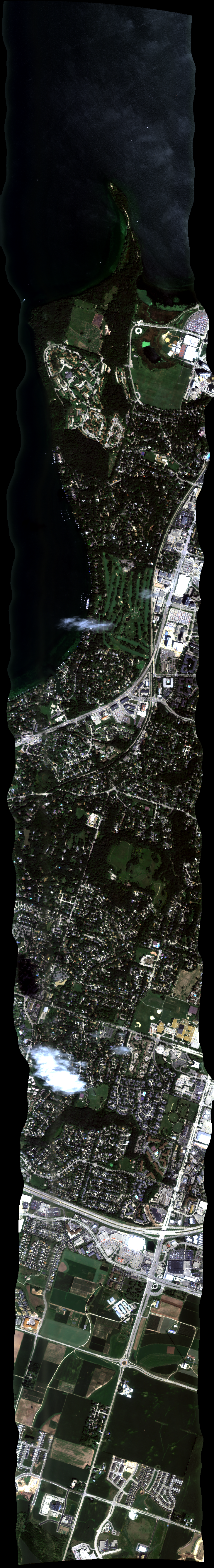
| 151849 | Johnson1 (water drops on window) (orthocorrected) |
16M036 | Philip Townsend | 45.214 | -92.421 | 45.197 | -92.419 | 1518 | 1520 | Alt = 4.3 kft SOG = 160 kts Clouds = No cirrus, few nearby |
| 152439 | Johnson2 (water drops on window) (orthocorrected) |
16M036 | Philip Townsend | 45.214 | -92.427 | 45.197 | -92.425 | 1524 | 1526 | Alt = 4.3 kft SOG = 150 kts Clouds = some nearby MCRS = 175 Auto start late |
| 153736 | Cedar_morn_12 (water drops on window) (orthocorrected) |
16M036 | Philip Townsend | 45.41723 | -93.15741 | 45.4236 | -93.16682 | 1537 | 1538 | Alt = 4.3 kft SOG = 151 kts Clouds = Clear MCRS = 313 |
| 154305 | Cedar_morn_11 (water drops on window) (orthocorrected) |
16M036 | Philip Townsend | 45.41452 | -93.16227 | 45.44003 | -93.19995 | 1543 | 1545 | Alt = 4.3 kft SOG = 135 kts Clouds = Clear MCRS = 133 |
| 154847 | Cedar_morn_10 (water drops on window) (orthocorrected) |
16M036 | Philip Townsend | 45.4124 | -93.16799 | 45.43864 | -93.20676 | 1548 | 1550 | Alt = 4.3 kft SOG = 152 kts Clouds = Clear MCRS = 313 |
| 155404 | Cedar_morn_9 (water drops on window) (orthocorrected) |
16M036 | Philip Townsend | 45.40634 | -93.16789 | 45.43249 | -93.20651 | 1554 | 1556 | Alt = 4.3 kft SOG = Clouds = Clear MCRS = 133 |
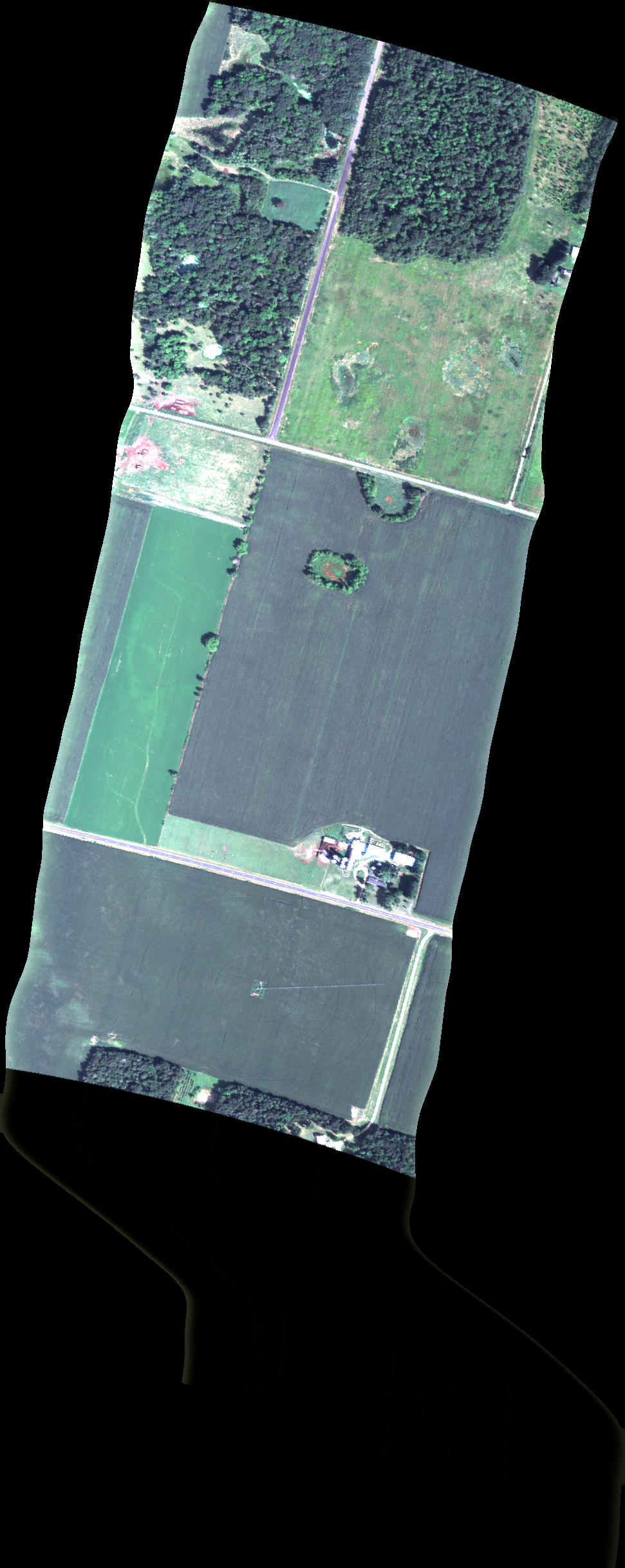
| 160418 | Cedar_morn_1 (water drops on window) (orthocorrected) |
16M036 | Philip Townsend | 45.38202 | -93.20277 | 45.38924 | -93.21344 | 1604 | Alt = 4.3 kft SOG = 128 kts Clouds = Clear MCRS = 133 |
|
| 160903 | Cedar_morn_2 (water drops on window) (orthocorrected) |
16M036 | Philip Townsend | 45.38198 | -93.19387 | 45.39527 | -93.21349 | 1609 | 1610 | Alt = 4.3 kft SOG = 147 kts Clouds = Clear MCRS = 313 |
| 161304 | Cedar_morn_3 (water drops on window) (orthocorrected) |
16M036 | Philip Townsend | 45.38145 | -93.18423 | 45.4013 | -93.21354 | 1613 | 1614 | Alt = 4.3 kft SOG = 125 kts Clouds = Clear MCRS = 133 |
| 161737 | Cedar_morn_4 (water drops on window) (orthocorrected) |
16M036 | Philip Townsend | 45.38052 | -93.17401 | 45.41162 | -93.21995 | 1617 | 1619 | Alt = 4.3 kft SOG = 150 kts Clouds = Clear MCRS = 313 Spot on window? |
| 163340 | Cedar_morn_5 (water drops on window) (orthocorrected) |
16M036 | Philip Townsend | 45.37757 | -93.16082 | 45.41757 | -93.21989 | 1633 | 1636 | Alt = 4.3 kft SOG = 150 kts Clouds = Clear OK |
| 163919 | Cedar_morn_6 (water drops on window) (orthocorrected) |
16M036 | Philip Townsend | 45.38116 | -93.15726 | 45.42352 | -93.21983 | 1639 | 1642 | Alt = 4.3 kft SOG = 140 kts Clouds = Clear MCRS = 133 All OK |
| 164502 | Cedar_morn_7 (water drops on window) (orthocorrected) |
16M036 | Philip Townsend | 45.38733 | -93.15752 | 45.42947 | -93.21976 | 1645 | 1647 | Alt = 4.3 kft SOG = 150 kts Clouds = Clear MCRS = 313 |
| 165003 | Cedar_morn_8 (water drops on window) (orthocorrected) |
16M036 | Philip Townsend | 45.3935 | -93.15779 | 45.43148 | -93.21388 | 1650 | 1652 | Alt = 4.3 kft SOG = 137 kts Clouds = Clear MCRS = 133 |
| 165540 | Cedar_noon_5 (water drops on window) (orthocorrected) |
16M036 | Philip Townsend | 45.3821800 | -93.1884500 | 45.4401200 | -93.1886400 | 1655 | 1657 | Alt = 4.3 kft SOG = 186 kts Clouds = Clear, Bumpy MCRS = 359 |
| 170134 | Cedar_noon_6 (water drops on window) (orthocorrected) |
16M036 | Philip Townsend | 45.3822100 | -93.1823200 | 45.4331100 | -93.1824800 | 1701 | 1704 | Alt = 4.3 kft SOG = 112 kts Clouds = Clear, light haze MCRS = 179 |
| 170634 | Cedar_noon_4 (water drops on window) (orthocorrected) |
16M036 | Philip Townsend | 45.3821500 | -93.1945800 | 45.4401100 | -93.1947800 | 1706 | Alt = 4.3 kft SOG = 171 kts Clouds = Clear MCRS = 359 |
|
| 171158 | Cedar_noon_5 (water drops on window) (orthocorrected) |
16M036 | Philip Townsend | 45.3821800 | -93.1884500 | 45.4401200 | -93.1886400 | 1711 | 1715 | Alt = 4.3 kft SOG = 112 kts Clouds = Clear, Bumpy MCRS = 179 |
| 172702 | Johnson2 (water drops on window) (orthocorrected) |
16M036 | Philip Townsend | 45.214 | -92.427 | 45.197 | -92.425 | 1727 | 1729 | Alt = 4.3 kft SOG = 120 kts Clouds = Light above MCRS = 175 auto trig early |
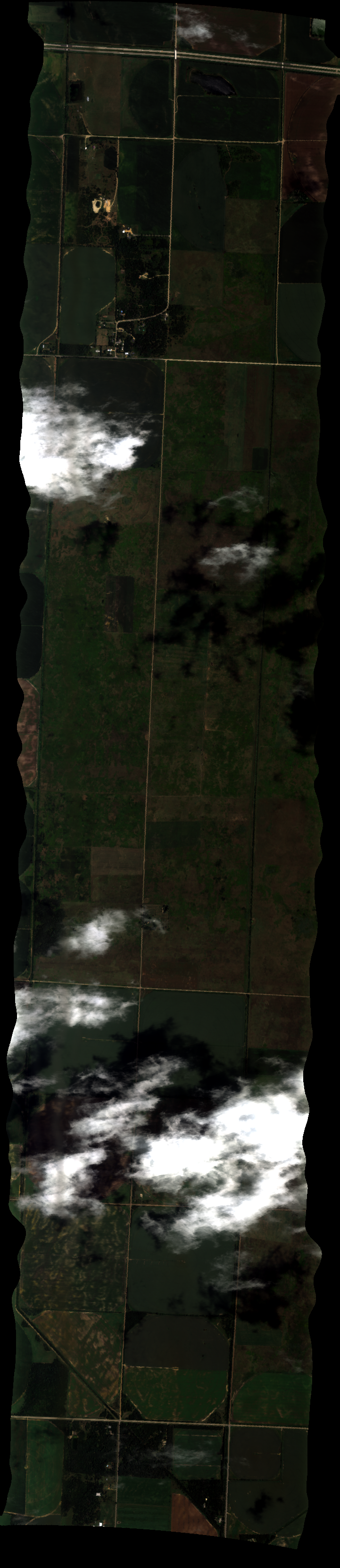
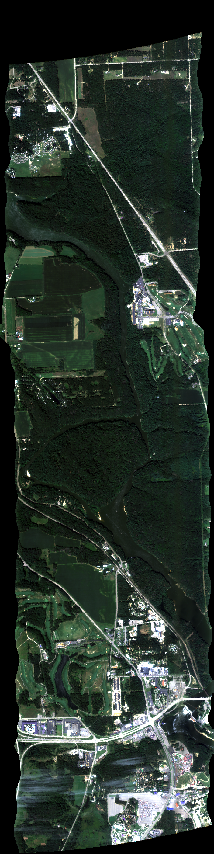
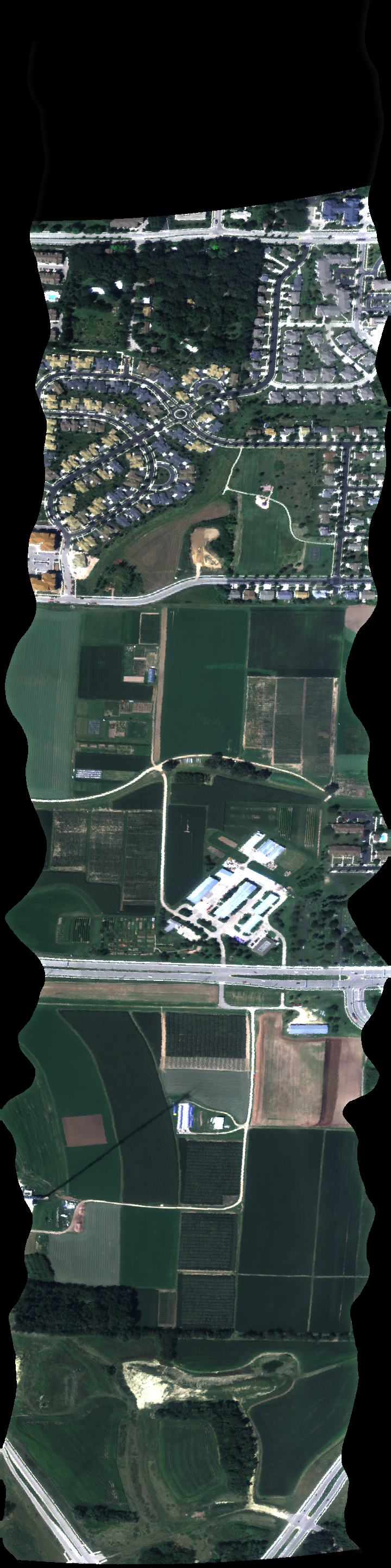
| 180755 | BuenaVista3 (water drops on window) (orthocorrected) |
16M036 | Philip Townsend | 44.348 | -89.542 | 44.346 | -89.665 | 1807 | 1810 | Alt = 13 kft SOG = 180 kts Clouds = Puffy clouds below MCRS = 90.5 |
| 181328 | BuenaVista2 (water drops on window) (orthocorrected) |
16M036 | Philip Townsend | 44.366 | -89.526 | 44.363 | -89.648 | 1813 | 1817 | Alt = 13 kft SOG = 134 kts Clouds = Some cumulus MCRS = 270 Auto trigger okay |
| 183327 | Helland2 (water drops on window) (orthocorrected) |
16M036 | Philip Townsend | 43.539 | -89.137 | 43.536 | -89.276 | 1833 | 1836 | Alt = 4.3 kft SOG = 180 kts Clouds = Few cumulus below MCRS = 90 |
| 183903 | Helland3 (water drops on window) (orthocorrected) |
16M036 | Philip Townsend | 43.522 | -89.136 | 43.519 | -89.275 | 1839 | 1842 | Alt = 4.3 kft SOG = 140 kts Clouds = Few cumulus below MCRS = 270.8 |
| 184736 | Pine Island (water drops on window) (orthocorrected) |
16M036 | Philip Townsend | 43.543 | -89.591 | 43.525 | -89.524 | 1847 | 1850 | Alt = 13 kft SOG = 150 kts Clouds = Clear, few cumulus below MCRS = 292 |
| 185428 | Blackhawk Island (water drops on window) (orthocorrected) |
16M036 | Philip Townsend | 43.62300000 | -89.79210000 | 43.68190000 | -89.79110000 | 1854 | 1857 | Alt = 12 kft SOG = 152 kts Clouds = Clear MCRS = 359 |
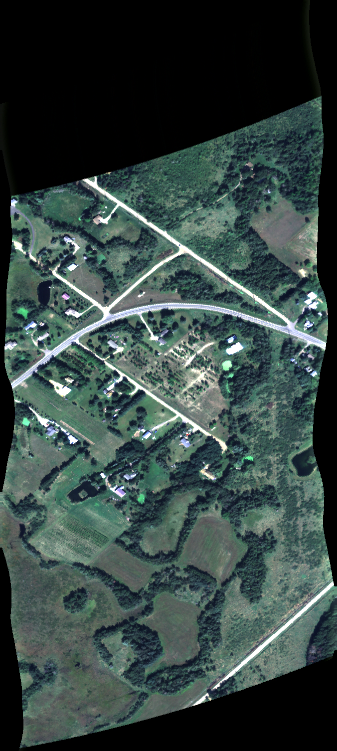
| 191110 | Hook2 (water drops on window) (orthocorrected) |
16M036 | Philip Townsend | 42.927 | -89.318 | 42.964 | -89.32 | 19110 | 1913 | Alt = 13 kft SOG = 160 kts Clouds = Scattered, Mostly Clear MCRS = 180 |
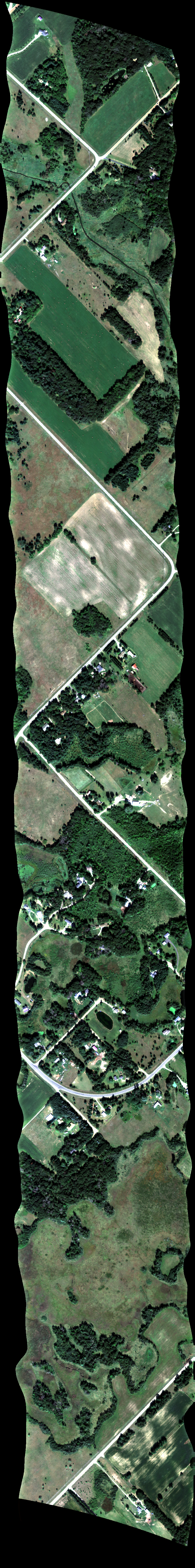
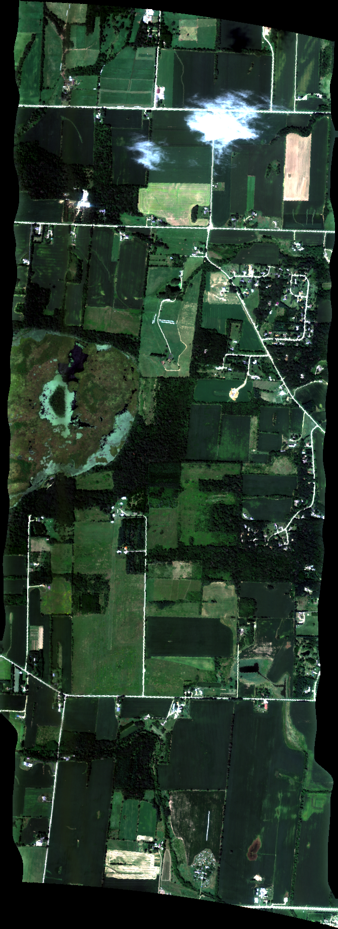
| 191820 | Madison School Forest (water drops on window) (orthocorrected) |
16M036 | Philip Townsend | 42.9212 | -89.5821 | 42.9837 | -89.5847 | 1918 | 1921 | Alt = 10 kft SOG = 156 kts Clouds = Light haze MCRS = 000 |
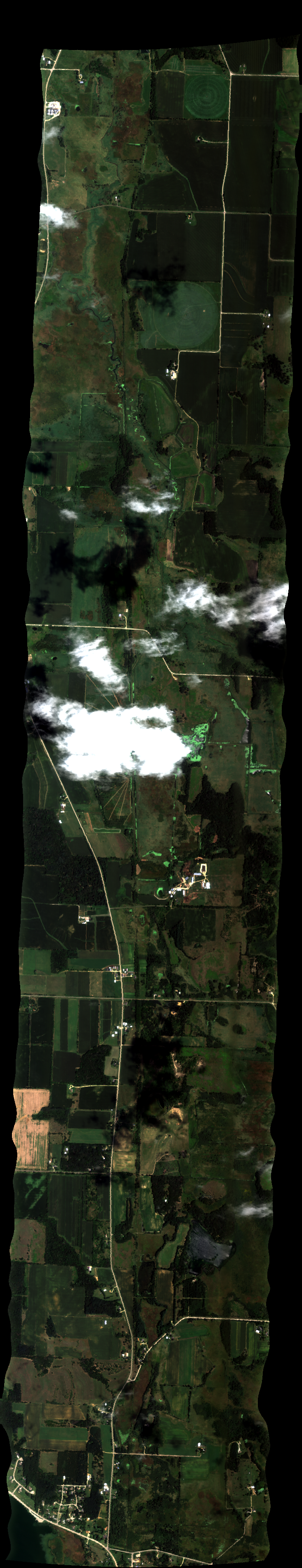
| 192414 | Madison Arb-Isthmus (water drops on window) (orthocorrected) |
16M036 | Philip Townsend | 43.010368 | -89.462787 | 43.142524 | -89.299087 | 1924 | 1929 | Alt = 10 kft SOG = 148 kts Clouds = Mostly Clear MCRS = 044 |
| 193312 | Madison Lakeshore (water drops on window) (orthocorrected) |
16M036 | Philip Townsend | 43.091504 | -89.408378 | 43.057777 | -89.548566 | 1933 | 1937 | Alt = 10 kft SOG = 150 kts Clouds = Mostly clear MCRS = 254 |
| 194140 | West Madison (clean window) (orthocorrected) |
16M036 | Philip Townsend | 43.06769100 | -89.53301100 | 43.05870000 | -89.53262300 | 1941 | 1943 | Alt = 4 kft SOG = 174 kts Clouds = Clear MCRS = 358 |
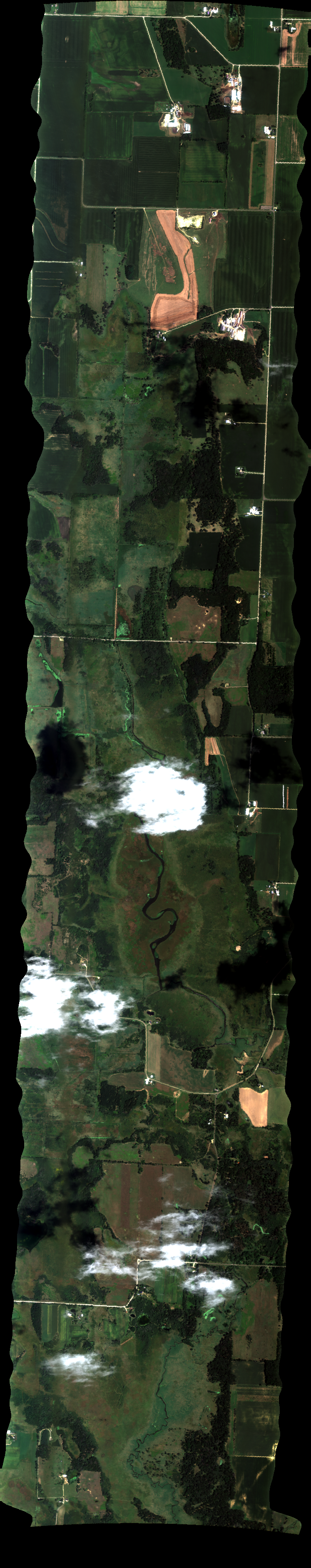
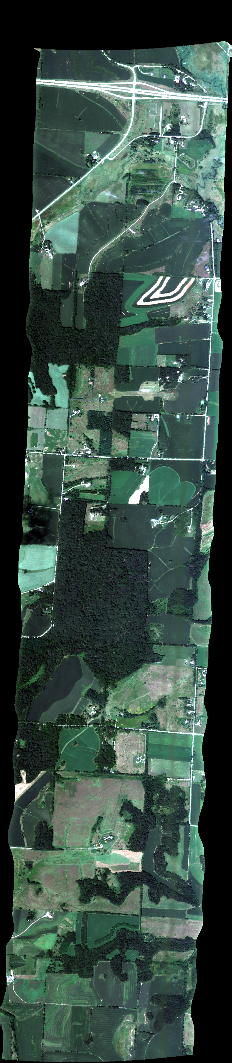
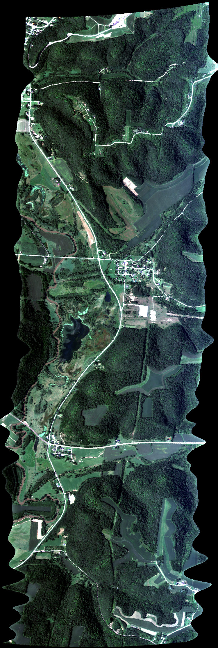
| 211702 | Kickapoo1 (clean window) (orthocorrected) |
16M036 | Philip Townsend | 43.308 | -90.837 | 43.262 | -90.834 | 2117 | Alt = 4 kft SOG = 174 kts Clouds = Clear MCRS = 358 |
|
| 212628 | Kickapoo2 (clean window) (orthocorrected) |
16M036 | Philip Townsend | 43.311 | -90.833 | 43.261 | -90.829 | 2126 | Alt = 13 kft Clouds = Clear |
 Back to AVIRIS NG Flight Season page