
| Run ID | Site Name | NASA Log # | Start_Lat | Start Lat | Start Lon | Stop Lat | Stop Lon | Start GMT | Stop GMT | Comments |
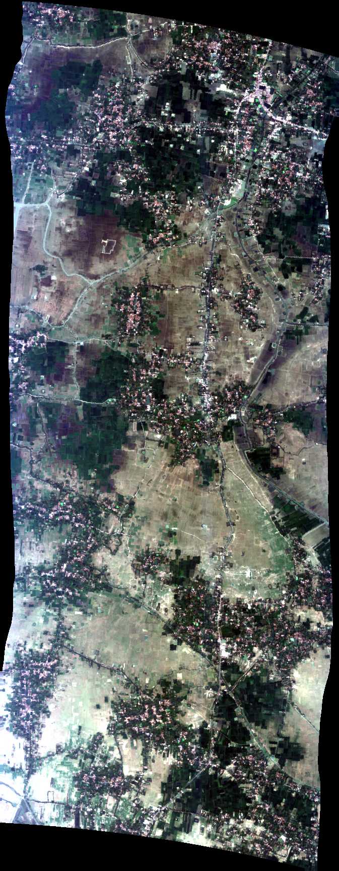
| 050735 | Sundarbans, India (orthocorrected) |
ISRO | 0507 | 5222 | Alt = 16.6 kft SOG = 178 kts Clouds = Thin, high clouds mid-line MCRS = 192 |
|||||
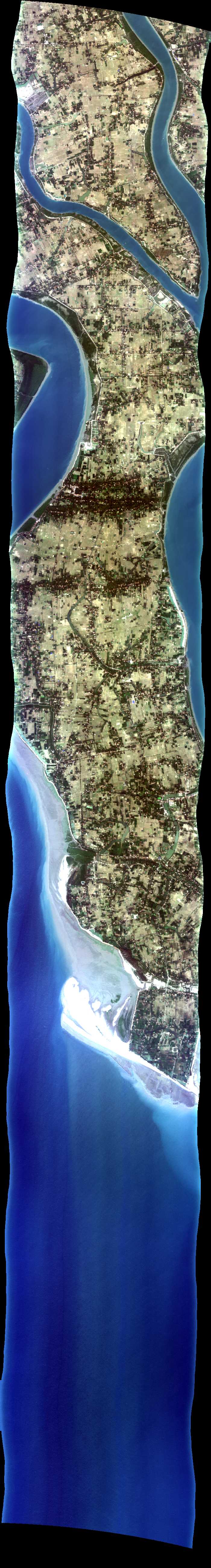
| 052633 | Sundarbans, India (orthocorrected) |
ISRO | 0526 | 0541 | Alt = 16.6 kft SOG = 182 kts Clouds = Thin, high clouds mid-line MCRS = 12 |
|||||
| 054525 | Sundarbans, India (orthocorrected) |
ISRO | 0545 | 0559 | Alt = 16.6 kft SOG = 184 kts Clouds = High clouds MCRS = 192 |
|||||
| 060359 | Sundarbans, India (orthocorrected) |
ISRO | 0603 | 0618 | Alt = 16.6 kft SOG = 180 kts Clouds = Thin, high clouds mid-line MCRS = 12 |
|||||
| 062710 | Sundarbans, India (orthocorrected) |
ISRO | 0627 | 0636 | Alt = 16.6 kft SOG = 180 kts MCRS = 192 |
|||||
| 063928 | Sundarbans, India (orthocorrected) |
ISRO | 0639 | 0648 | Alt = 16.6 kft SOG = 172 kts Clouds = Scattered high clouds at end of line MCRS = 12 |
|||||
| 065158 | Sundarbans, India (orthocorrected) |
ISRO | 0651 | 0701 | Alt = 16.6 kft SOG = 179 kts Clouds = High clouds at start of line MCRS = 192 |
|||||
| 071006 | Sundarbans, India (orthocorrected) |
ISRO | 0710 | 0717 | Alt = 16.6 kft SOG = 176 kts Clouds = High clouds MCRS = 12 |
|||||
| 072056 | Sundarbans, India (orthocorrected) |
ISRO | 0720 | 0726 | Alt = 16.6 kft SOG = 179 kts Clouds = High clouds MCRS = 192 |
|||||
| 073025 | Sundarbans, India (orthocorrected) |
ISRO | 0730 | Alt = 16.6 kft SOG = 178 kts Clouds = Very thin high clouds MCRS = 12 |
 Back to AVIRIS NG Flight Season page