
| Run ID | Site Name | NASA Log # | Start_Lat | Start Lat | Start Lon | Stop Lat | Stop Lon | Start GMT | Stop GMT | Comments |
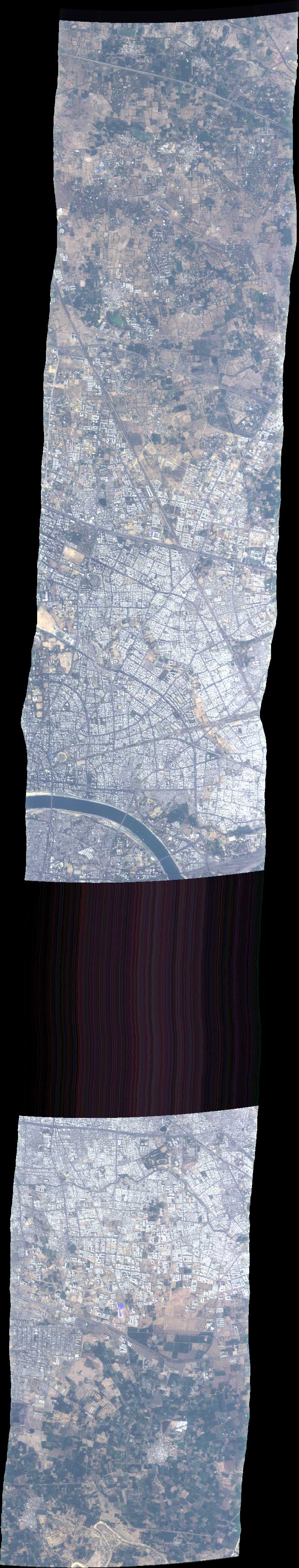
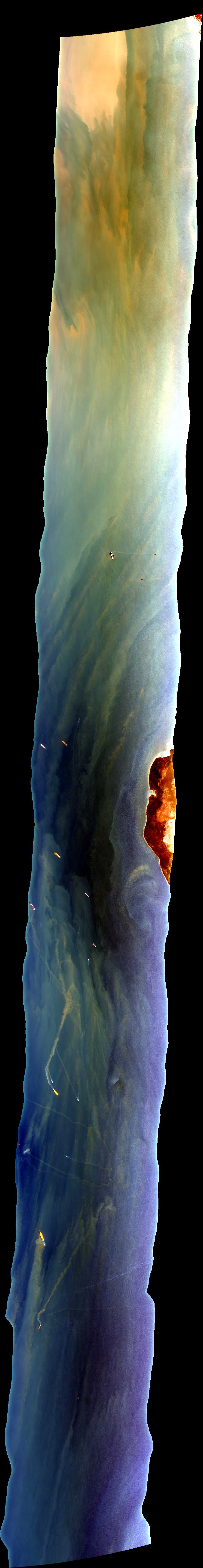
| 051014 | Ahmedabad, India (orthocorrected) |
ISRO | 0510 | 0517 | Alt = 26 kft SOG = 162 kts Clouds = Clear MCRS = 273 |
|||||
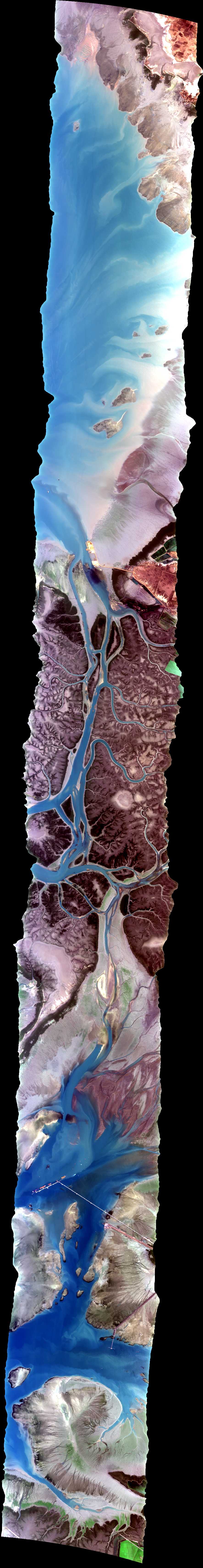
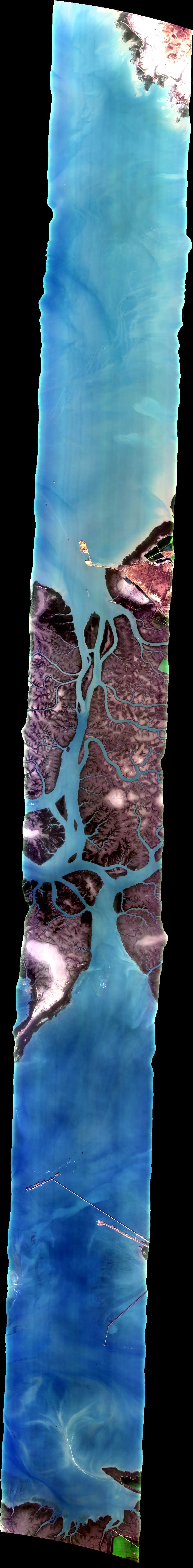
| 063302 | Pirotan, Gulf of Kutch, India (orthocorrected) |
ISRO | 22.459054 | 69.709445 | 22.668798 | 70.201954 | 0633 | 0644 | Alt = 26 kft SOG = 169 kts Clouds = Clear MCRS = 247 |
|
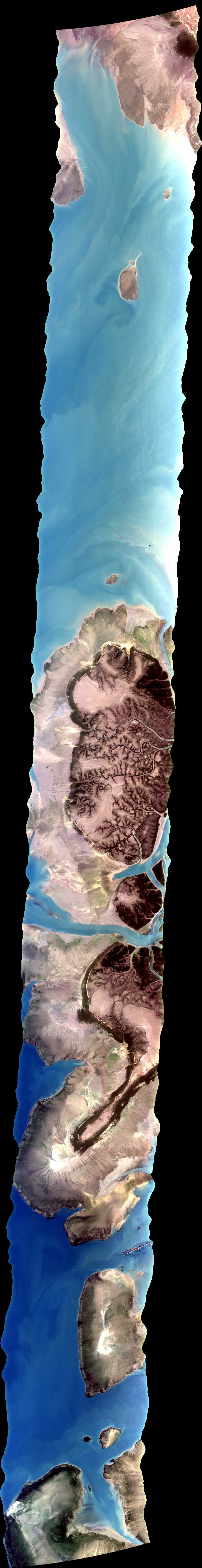
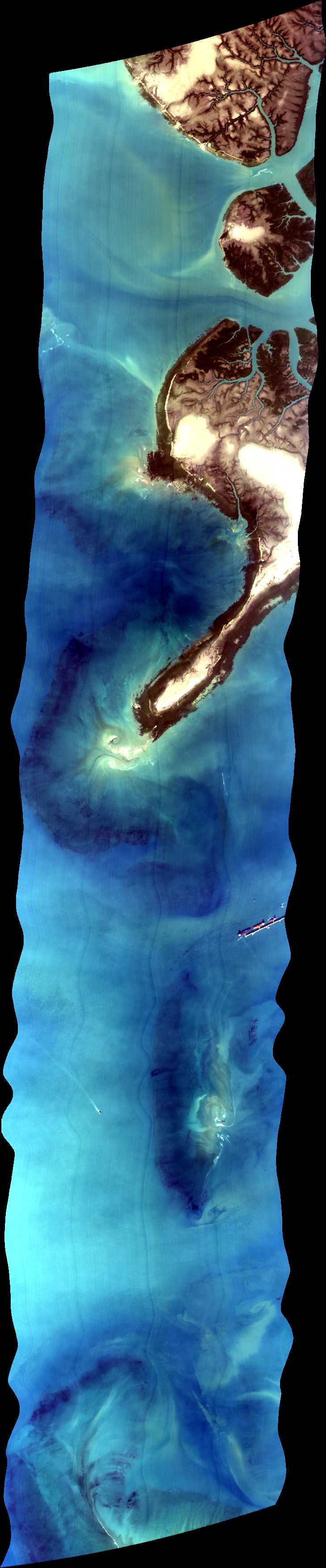
| 064842 | Pirotan, Gulf of Kutch, India (orthocorrected) |
ISRO | 22.495443 | 69.719597 | 22.707033 | 70.216699 | 0648 | 0656 | Alt = 26 kft SOG = 242 kts Clouds = Clear MCRS = 67 |
|
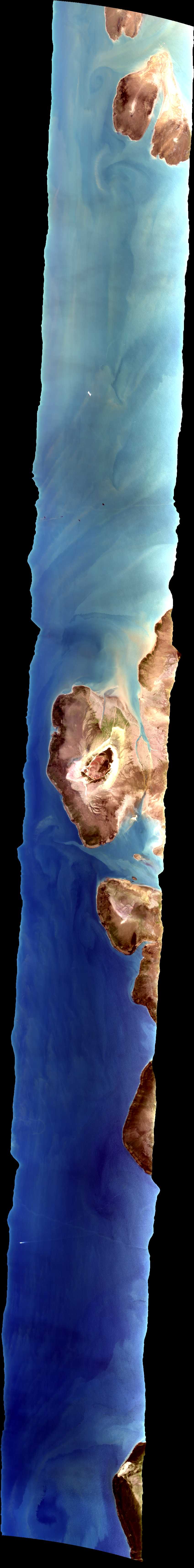
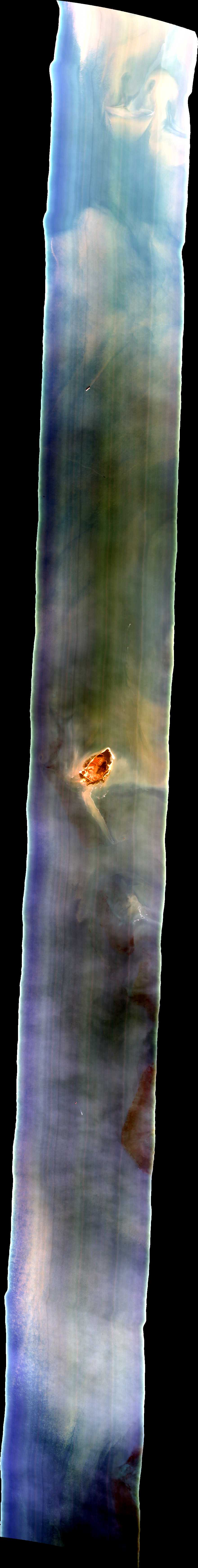
| 070514 | Pirotan, Gulf of Kutch, India (orthocorrected) |
ISRO | 22.522484 | 69.691103 | 22.731637 | 70.18231 | 0705 | 0716 | Alt = 26 kft SOG = 171 kts Clouds = Clear MCRS = 247 |
|
| 072209 | Pirotan, Gulf of Kutch, India (orthocorrected) |
ISRO | 22.559479 | 69.697834 | 22.767968 | 70.187677 | 0722 | 0730 | Alt = 26 kft SOG = 245 kts Clouds = Clear MCRS = 67 |
|
| 111328 | Pirotan, Gulf of Kutch, India (orthocorrected) |
ISRO | 22.456803 | 69.70924 | 22.667209 | 70.203301 | 1113 | 1124 | Alt = 26 kft SOG = 178 kts Clouds = Clear MCRS = 247.3 |
|
| 112747 | Pirotan, Gulf of Kutch, India (orthocorrected) |
ISRO | 22.493851 | 69.718334 | 22.599837 | 69.966671 | 22.609698 | 1135 | Alt = 26 kft SOG = 240 kts Clouds = Clear MCRS = 067.1 |
|
| 114143 | Pirotan, Gulf of Kutch, India (orthocorrected) |
ISRO | 22.522212 | 69.691741 | 22.731312 | 70.182827 | 22.648131 | 1152 | Alt = 26 kft SOG = 176 kts Clouds = Clear MCRS = 247.3 |
|
| 115647 | Pirotan, Gulf of Kutch, India (orthocorrected) |
ISRO | 22.560464 | 69.695106 | 22.772128 | 70.19243 | 22.675203 | 1204 | Alt = 26 kft SOG = 238 kts Clouds = Clear MCRS = 067.1 |
 Back to AVIRIS NG Flight Season page