
| Run ID | Site Name | NASA Log # | Start_Lat | Start Lat | Start Lon | Stop Lat | Stop Lon | Start GMT | Stop GMT | Comments |
| 162422 | Sylvania (orthocorrected) |
15M051 | Phil Townsend | 46.239 | -89.174 | 46.251 | -89.651 | 1624 | 1632 | Alt = 16.8 kft SOG = 175 kts Clouds = Clear above and below MCRS = 275.6 |
| 163629 | Willow Creek (orthocorrected) |
15M051 | Phil Townsend | 45.76 | -90.1 | 46.138 | -89.963 | 1636 | 1648 | Alt = 16.8 kft SOG = 175 kts Clouds = Clear above and below, light haze MCRS = 197.3 |
| 165111 | Willow Creek (orthocorrected) |
15M051 | Phil Townsend | 45.76 | -90.1 | 46.138 | -89.963 | 1651 | 1700 | Alt = 16.8 kft SOG = 170 kts Clouds = Clear, light haze MCRS = 094.5 |
| 170440 | Sylvania (orthocorrected) |
15M051 | Phil Townsend | 46.239 | -89.174 | 46.251 | -89.651 | 1704 | 1712 | Alt = 16.8 kft SOG = 170 kts Clouds = Clear, light haze MCRS = 094.5 |
| 193052 | Blackhawk Island (orthocorrected) |
15M051 | Phil Townsend | 43.623 | -89.7921 | 43.6819 | -89.7911 | 1930 | 1932 | Alt = 16.8 kft SOG = 185 kts Clouds = Clear MCRS = 183 |
| 193520 | Blackhawk Island (orthocorrected) |
15M051 | Phil Townsend | 43.623 | -89.7921 | 43.6819 | -89.7911 | 1935 | 1937 | Alt = 16.8 kft SOG = 162 kts Clouds = Clear MCRS = 003.2 |
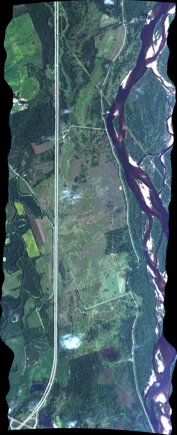
| 194122 | Pine Island (orthocorrected) |
15M051 | Phil Townsend | 43.543 | -89.591 | 43.525 | -89.524 | 1941 | 1943 | Alt = 16.8 kft SOG = 190 kts Clouds = Clear MCRS = 112.8 |
| 194808 | BioFuel_ASPComp (orthocorrected) |
15M051 | Phil Townsend | 43.3027710 | -89.3947640 | 43.2824930 | -89.3520140 | 1948 | 1949 | Alt = 13 kft SOG = 190 kts Clouds = Some below, some shadows MCRS = 125.7 |
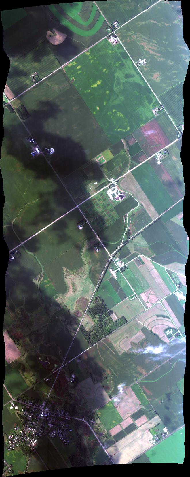
| 195158 | Arlington Soy (orthocorrected) |
15M051 | Phil Townsend | 43.2980803 | -89.3241788 | 43.2949241 | -89.4031864 | 1951 | 1954 | Alt = 13 kft SOG = 162-155 kts Clouds = Some below, some shadows MCRS = 269.7 |
| 195536 | BioFuel_ASPComp (orthocorrected) |
15M051 | Phil Townsend | 43.3027710 | -89.3947640 | 43.2824930 | -89.3520140 | 1955 | 1957 | Alt = 13 kft SOG = 192 kts Clouds = Some below MCRS = 125.8 |
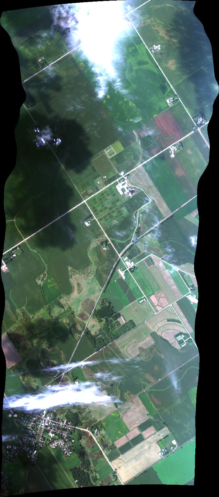
| 200026 | Arlington Soy (orthocorrected) |
15M051 | Phil Townsend | 43.2980803 | -89.3241788 | 43.2949241 | -89.4031864 | 2000 | 2002 | Alt = 10 kft SOG = 150 kts Clouds = Three layer deck, very thin cumulus MCRS = 269.7 |
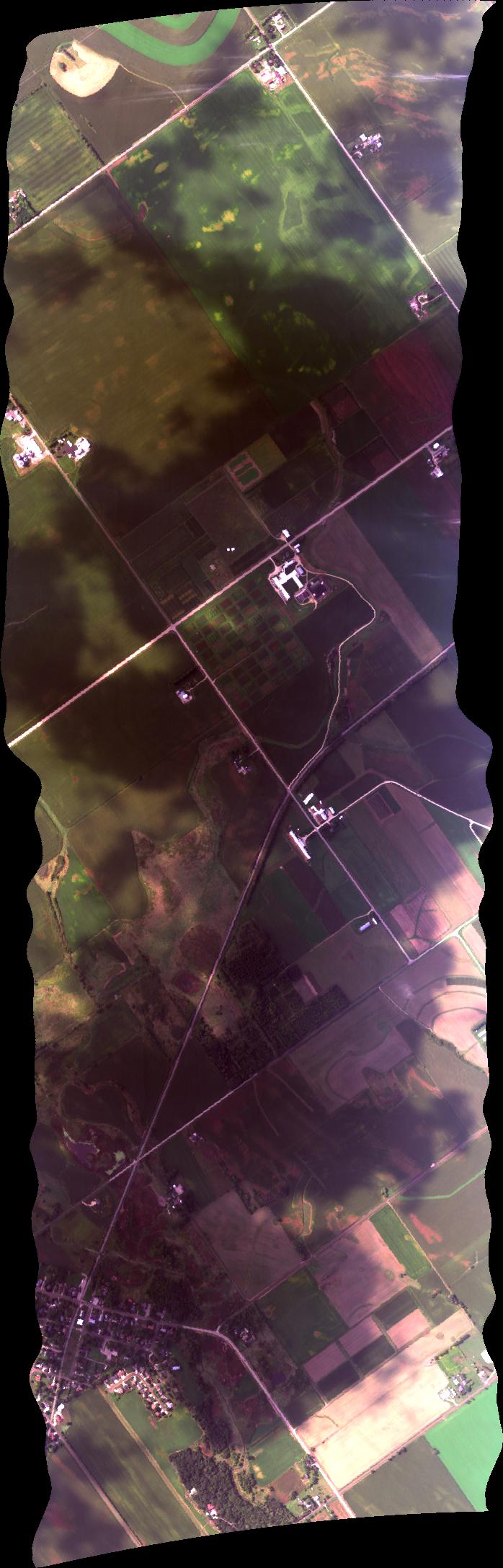
| 200525 | BioFuel_ASPComp (orthocorrected) |
15M051 | Phil Townsend | 43.3027710 | -89.3947640 | 43.2824930 | -89.3520140 | 2005 | 2007 | Alt = 10 kft SOG = 182 kts Clouds = Increasing cumulus MCRS = 125.8 |
 Back to AVIRIS NG Flight Season page