
| Run ID | Site Name | NASA Log # | Start_Lat | Start Lat | Start Lon | Stop Lat | Stop Lon | Start GMT | Stop GMT | Comments |
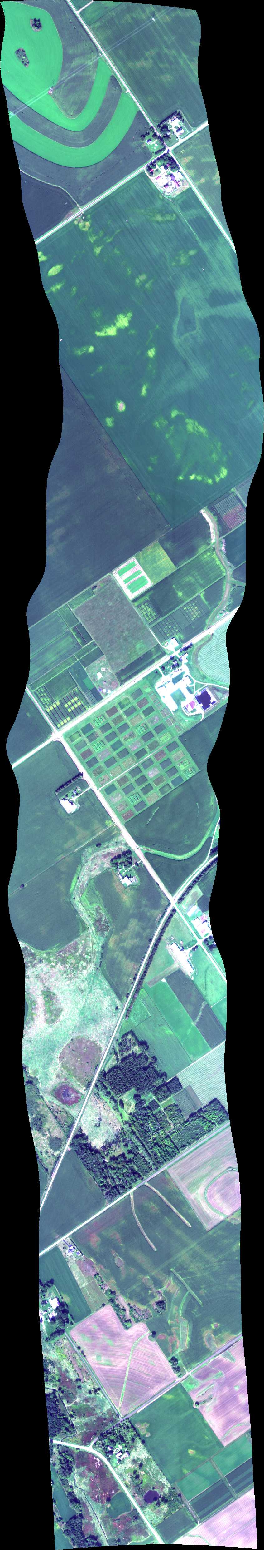
| 153915 | Aspen_Genotype (7 kft) (orthocorrected) |
15M051 | Phil Townsend | 43.3249110 | -89.3305020 | 43.3103350 | -89.3264510 | 1539 | 1540 | Alt = 7 kft SOG = 153 kts Clouds = Hazy, clear, no cirrus MCRS = 351 |
| 154441 | Aspen_Genotype (5 kft) (orthocorrected) |
15M051 | Phil Townsend | 43.3249110 | -89.3305020 | 43.3103350 | -89.3264510 | 1544 | 1546 | Alt = 5 kft SOG = 155 kts Clouds = Hazy, clear, no cirrus MCRS = 351 |
| 155015 | Aspen_Genotype (3 kft) (orthocorrected) |
15M051 | Phil Townsend | 43.3249110 | -89.3305020 | 43.3103350 | -89.3264510 | 1550 | 1551 | Alt = 3 kft SOG = 155 kts Clouds = Hazy, clear, no cirrus MCRS = 351 |
| 155544 | BioFuel_ASPComp (3 kft) (orthocorrected) |
15M051 | Phil Townsend | 43.3027710 | -89.3947640 | 43.2824930 | -89.3520140 | 1555 | 1557 | Alt = 3 kft SOG = 160 kts Clouds = Hazy, clear, no clouds MCRS = 125 |
| 160250 | BioFuel_ASPComp (5 kft) (orthocorrected) |
15M051 | Phil Townsend | 43.3027710 | -89.3947640 | 43.2824930 | -89.3520140 | 1602 | 1604 | Alt = 5 kft SOG = 170 kts Clouds = Hazy, clear, no clouds MCRS = 126 |
| 160912 | BioFuel_ASPComp (7 kft) (orthocorrected) |
15M051 | Phil Townsend | 43.3027710 | -89.3947640 | 43.2824930 | -89.3520140 | 1609 | 1610 | Alt = 7 kft SOG = 160 kts Clouds = Hazy, clear, no clouds MCRS = 126 |
| 161314 | BioFuel_ASPComp (7 kft) (orthocorrected) |
15M051 | Phil Townsend | 43.3027710 | -89.3947640 | 43.2824930 | -89.3520140 | 1613 | 1615 | Alt = 7 kft SOG = 155 kts Clouds = Hazy, clear, no clouds MCRS = 306 |
| 162038 | Arlington Soy (7 kft) (orthocorrected) |
15M051 | Phil Townsend | 43.2980803 | -89.3241788 | 43.2949241 | -89.4031864 | 1620 | 1623 | Alt = 7 kft SOG = 150 kts Clouds = Thin cirrus, hazy MCRS = 270 |
| 162859 | Arlington Soy (orthocorrected) |
15M051 | Phil Townsend | 43.2980803 | -89.3241788 | 43.2949241 | -89.4031864 | 1628 | 1631 | Alt = 5 kft SOG = 140 kts Clouds = Thin cirrus, hazy MCRS = 270 |
| 164523 | Arlington Soy (3 kft) (orthocorrected) |
15M051 | Phil Townsend | 43.2980803 | -89.3241788 | 43.2949241 | -89.4031864 | 1645 | 1646 | Alt = 3 kft SOG = 150 kts Clouds = Very thin cirrus MCRS = 270 |
| 165006 | Arlington Soy (3 kft) (orthocorrected) |
15M051 | Phil Townsend | 43.2980803 | -89.3241788 | 43.2949241 | -89.4031864 | 1650 | 1652 | Alt = 7 kft SOG = 155 kts Clouds = Very thin cirrus MCRS = 270 |
| 170654 | Biodiversity Gradient / Madison 1 (orthocorrected) |
15M051 | Phil Townsend | 42.9500000 | -89.5992600 | 43.1990000 | -89.1746000 | 1706 | 1716 | Alt = 14.5 kft SOG = 149 kts Clouds = Clear, hazy below MCRS = 234.4 |
| 172146 | Biodiversity Gradient / Madison 2 (orthocorrected) |
15M051 | Phil Townsend | 43.2203000 | -89.3844000 | 42.9820000 | -89.2620000 | 1721 | 1728 | Alt = 14.5 kft SOG = 180 kts Clouds = Clear, hazy, some cumulus NW MCRS = 341.8 |
| 173401 | Biodiversity Gradient / Madison 3 4 alternate (orthocorrected) |
15M051 | Phil Townsend | 43.0830000 | -89.6700000 | 43.0580000 | -89.2300000 | 1734 | 1742 | Alt = 14.5 kft SOG = 171 kts Clouds = Light cirrus and shadows. Hazy and some cumulus below MCRS = 281.8 |
| 174405 | Biodiversity Gradient / Madison 4 (orthocorrected) |
15M051 | Phil Townsend | 43.0336000 | -89.2278000 | 43.0819300 | -89.6707790 | 1744 | 1751 | Alt = 14.5 kft SOG = 192 kts Clouds = Light cirrus and shadows. Hazy and some cumulus below MCRS = 100.8 |
| 180127 | Pine Island (orthocorrected) |
15M051 | Phil Townsend | 43.543 | -89.591 | 43.525 | -89.524 | 1801 | 1804 | Alt = 14.5 kft SOG = 161 kts Clouds = Cirrus above MCRS = 293.1 |
| 180713 | Blackhawk Island (orthocorrected) |
15M051 | Phil Townsend | 43.623 | -89.7921 | 43.6819 | -89.7911 | 1807 | 1809 | Alt = 14.5 kft SOG = 170 kts Clouds = Thin cirrus, some cumulus MCRS = 003.2 |
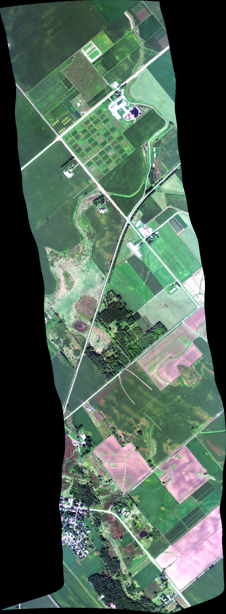
| 181653 | Hancock Soy (orthocorrected) |
15M051 | Phil Townsend | 44.1200729 | -89.5626778 | 44.1119723 | -89.5426323 | 1816 | 1818 | Alt = 7 kft SOG = 170 kts Clouds = No cirrus, no cumulus MCRS = 302 |
| 182222 | Hancock Soy (orthocorrected) |
15M051 | Phil Townsend | 44.1200729 | -89.5626778 | 44.1119723 | -89.5426323 | 1822 | 1824 | Alt = 5 kft SOG = 153 kts Clouds = Same hazy MCRS = 302 |
| 182743 | Hancock Soy (orthocorrected) |
15M051 | Phil Townsend | 44.1200729 | -89.5626778 | 44.1119723 | -89.5426323 | 1827 | 1829 | Alt = 3 kft SOG = 156 kts Clouds = Punch holes, hazy MCRS = 302 |
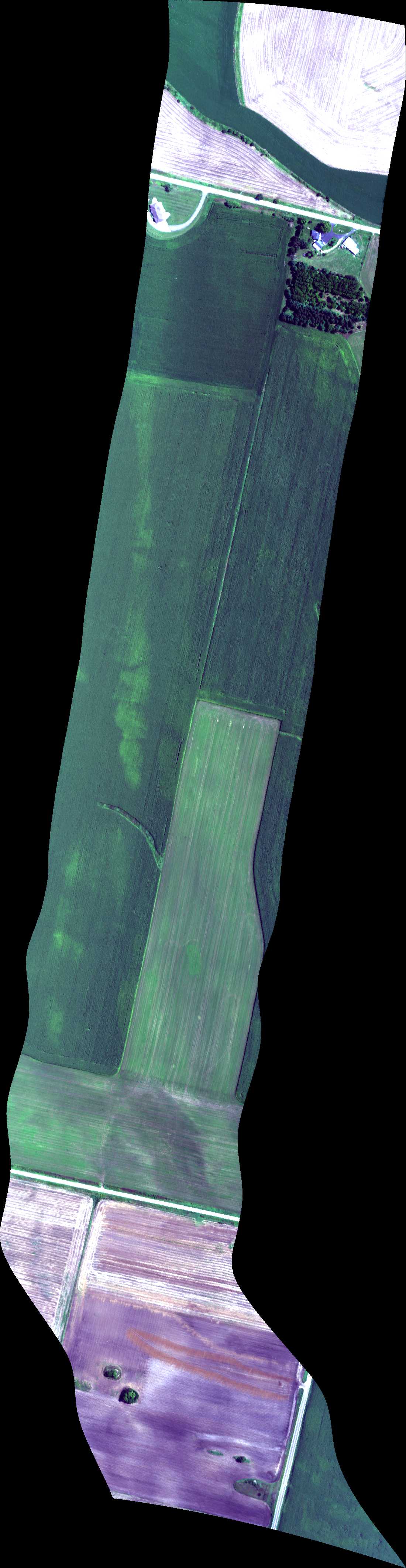
| 183432 | Potatoes 2 (orthocorrected) |
15M051 | Phil Townsend | 44.3789838 | -89.5452473 | 44.4577925 | -89.4847076 | 1834 | 1837 | Alt = 7.5 kft SOG = 160 kts Clouds = Clear, hazy MCRS = 31.5 |
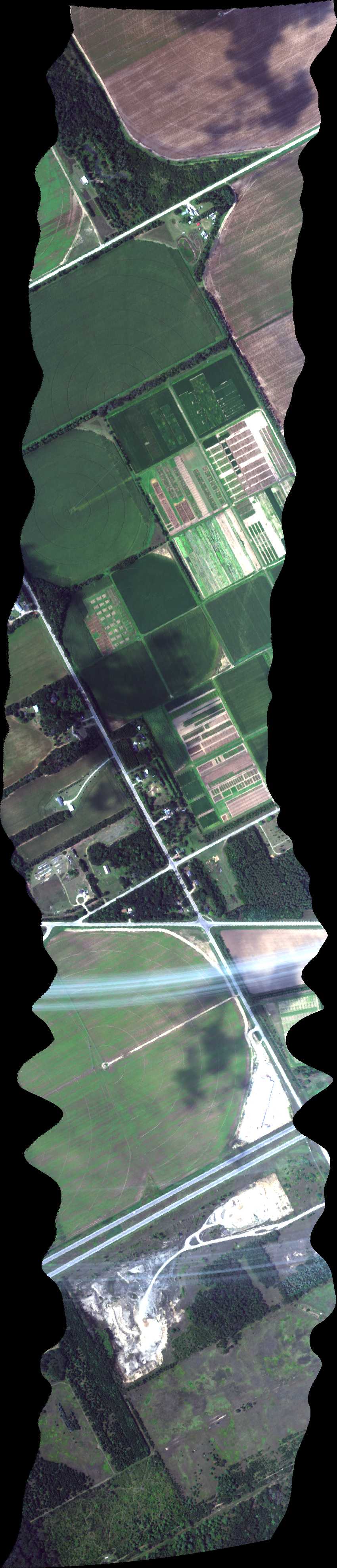
| 184001 | Potatoes 1 (orthocorrected) |
15M051 | Phil Townsend | 44.3704226 | -89.5242266 | 44.4493077 | -89.4633811 | 1840 | 1843 | Alt = 7.5 kft SOG = 167 kts Clouds = Hazy MCRS = 211.8 |
| 185441 | Blackhawk Island (orthocorrected) |
15M051 | Phil Townsend | 43.623 | -89.7921 | 43.6819 | -89.7911 | 1854 | 1857 | Alt = 7.5 kft SOG = 163 kts Clouds = Clouds, hazy cirrus MCRS = 183.7 |
| 185929 | Pine Island (orthocorrected) |
15M051 | Phil Townsend | 43.543 | -89.591 | 43.525 | -89.524 | 1859 | 1901 | Alt = 7.5 kft SOG = Clouds = Some clouds, hazy, light cirrus MCRS = 112.8 |
 Back to AVIRIS NG Flight Season page