
| Run ID | Site Name | NASA Log # | Start_Lat | Start Lat | Start Lon | Stop Lat | Stop Lon | Start GMT | Stop GMT | Comments |
| 121703 | SEA_ICE_THU_8430_7345 (orthocorrected) |
15M052b | Kelly Brunt | 76.5311 | -68.7031 | 84.5 | -73.75 | 1217 | 1228 | Alt = 7.5 kft SOG = 205 kts Clouds = few below MCRS = 043 |
| 122859 | SEA_ICE_THU_8430_7345 (orthocorrected) |
15M052b | Kelly Brunt | 76.5311 | -68.7031 | 84.5 | -73.75 | 1228 | 1239 | Alt = 24 kft SOG = 205 kts Clouds = Clear, clouds at end MCRS = 045 fresh snow, ice, land |
| 124301 | SEA_ICE_THU_8430_7345 (orthocorrected) |
15M052b | Kelly Brunt | 76.5311 | -68.7031 | 84.5 | -73.75 | 1243 | 1250 | Alt = 24 kft SOG = 200 kts Clouds = Scattered below MCRS = 045 |
| 125618 | SEA_ICE_THU_8430_7345 (orthocorrected) |
15M052b | Kelly Brunt | 76.5311 | -68.7031 | 84.5 | -73.75 | 1256 | 1258 | Alt = 24 kft SOG = 200 kts Clouds = Scattered below MCRS = 046 |
| 130008 | SEA_ICE_THU_8430_7345 (orthocorrected) |
15M052b | Kelly Brunt | 76.5311 | -68.7031 | 84.5 | -73.75 | 1300 | 1312 | Best sea ice Alt = 24 kft SOG = 210 kts Clouds = Clear MCRS = 044 |
| 133628 | SEA_ICE_THU_8430_7345 (orthocorrected) |
15M052b | Kelly Brunt | 76.5311 | -68.7031 | 84.5 | -73.75 | 1336 | 1338 | Alt = 24 kft SOG = 235 kts Clouds = Cirrus MCRS = 048 |
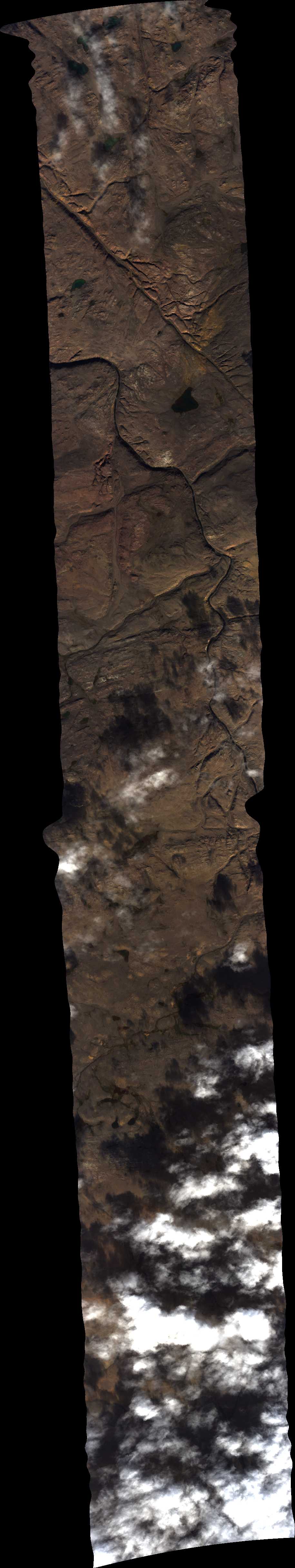
| 133942 | SEA_ICE_THU_8430_7345 (quicklook in process) | 15M052b | Kelly Brunt | 76.5311 | -68.7031 | 84.5 | -73.75 | 1339 | 1358 | Alt = 24 kft SOG = 235 kts Clouds = Clear MCRS = 051 Lake Hazer |
| 135931 | SEA_ICE_THU_8430_7345 (orthocorrected) |
15M052b | Kelly Brunt | 76.5311 | -68.7031 | 84.5 | -73.75 | 1359 | 1407 | Alt = 24 kft SOG = 240 kts Clouds = Clear, low clouds at end of line MCRS = 052 land, snow, sea ice |
| 142716 | SEA_ICE_LHZE_8430_7345 (quicklook in process) | 15M052b | Kelly Brunt | 81.963 | -68.5 | 84.5 | -73.75 | 1427 | 1440 | Alt = 24 kft SOG = 230 kts Clouds = Broken thin clouds below MCRS = 225 |
| 145120 | SEA_ICE_LHZE_8430_7345 (orthocorrected) |
15M052b | Kelly Brunt | 81.963 | -68.5 | 84.5 | -73.75 | 1451 | 1507 | Alt = 24 kft SOG = 230 kts MCRS = 225 |
| 151016 | SEA_ICE_LHZW_LHZE (orthocorrected) |
15M052a | Kelly Brunt | 81.634 | -73.02 | 81.963 | -68.5 | 1510 | 1522 | Alt = 24 kft SOG = 219 kts Clouds = Clear MCRS = 298 |
| 152342 | SEA_ICE_THU_LHZW (orthocorrected) |
15M052a | Kelly Brunt | 76.5311 | -68.7031 | 81.634 | -73.02 | 1523 | 1526 | Alt = 24 kft SOG = 255 kts Clouds = Clear MCRS = 225 |
| 152648 | SEA_ICE_THU_LHZW (orthocorrected) |
15M052a | Kelly Brunt | 76.5311 | -68.7031 | 81.634 | -73.02 | 1526 | 1534 | Alt = 24 kft SOG = 266 kts Clouds = Scattered below MCRS = 225 |
| 155017 | SEA_ICE_THU_LHZW (orthocorrected) |
15M052a | Kelly Brunt | 76.5311 | -68.7031 | 81.634 | -73.02 | 1550 | 1600 | Alt = 24 kft SOG = 284 kts Clouds = Clear, some low fog MCRS = 222 |
| 160227 | SEA_ICE_THU_LHZW (orthocorrected) |
15M052a | Kelly Brunt | 76.5311 | -68.7031 | 81.634 | -73.02 | 1602 | 1606 | Alt = 24 kft SOG = 203 kts Clouds = Clear MCRS = 222 |
| 161309 | SEA_ICE_THU_LHZW (orthocorrected) |
15M052a | Kelly Brunt | 76.5311 | -68.7031 | 81.634 | -73.02 | 1613 | Alt = 24 kft SOG = 275 kts Clouds = Clear MCRS = 220 |
 Back to AVIRIS NG Flight Season page