
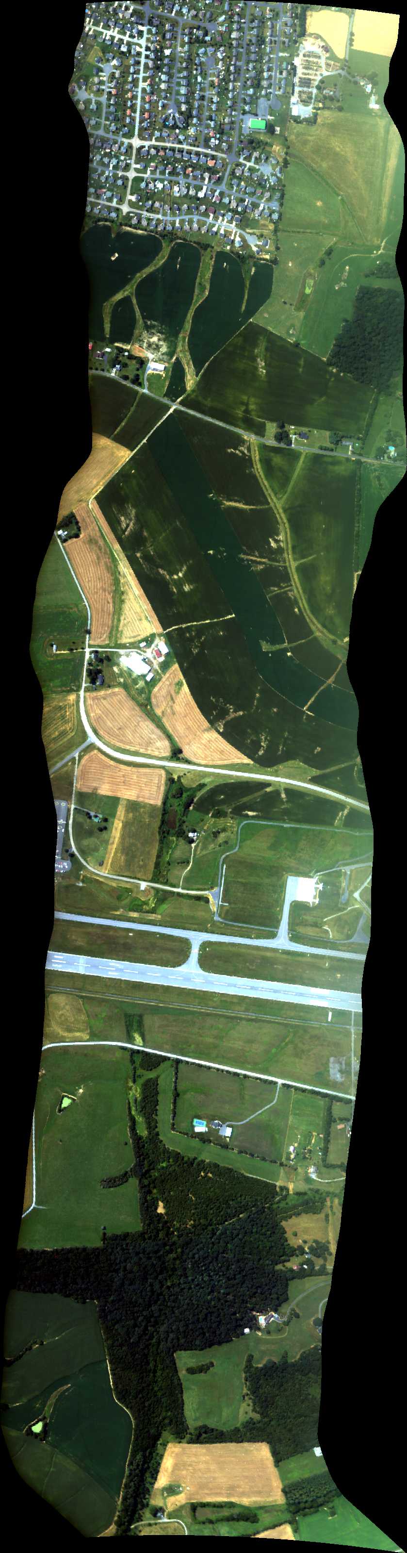
| Run ID | Site Name | NASA Log # | Start_Lat | Start Lat | Start Lon | Stop Lat | Stop Lon | Start GMT | Stop GMT | Comments |
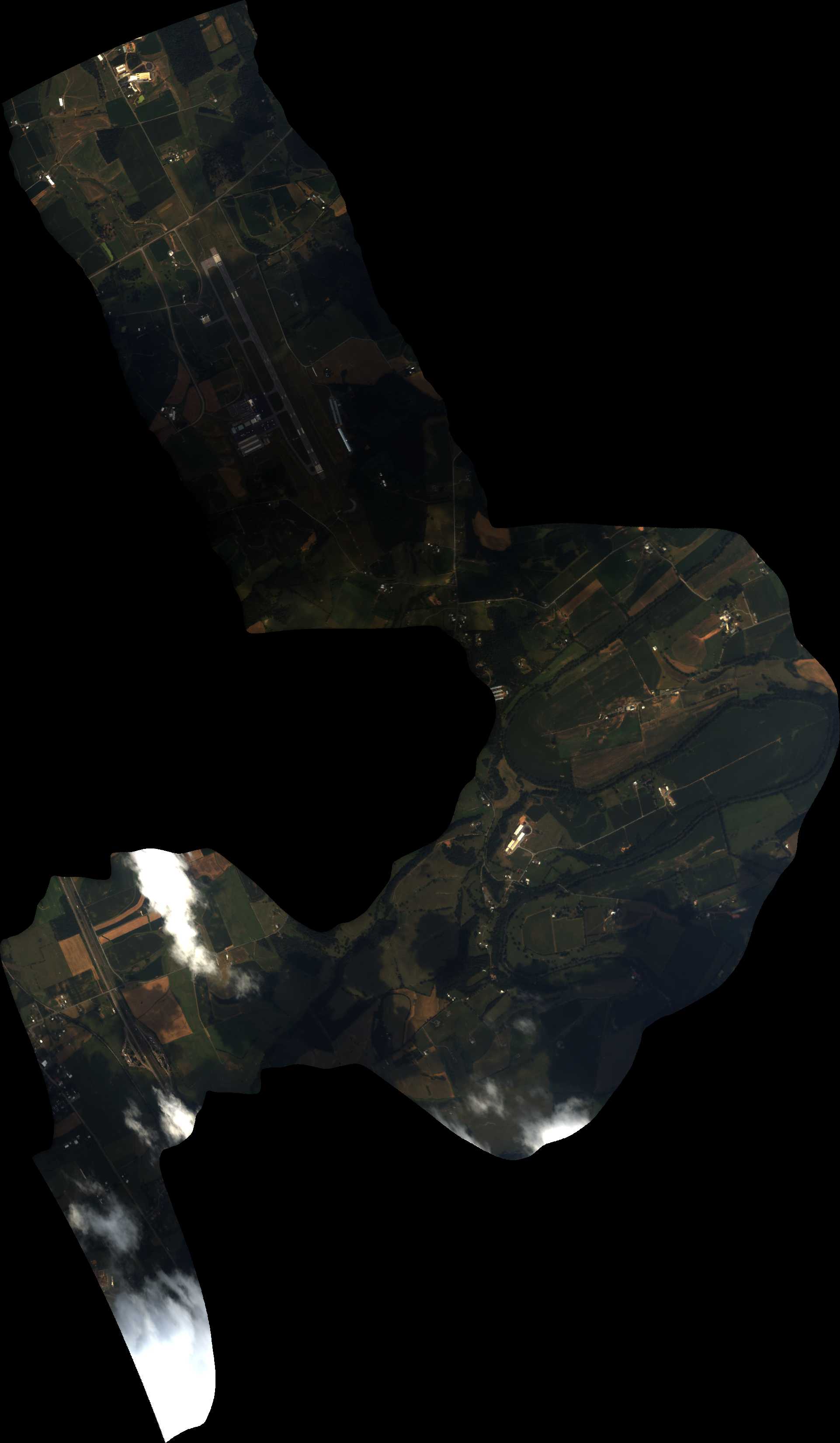
| 184833 | Shenandoa Parallel Level (orthocorrected) |
Eastwood | 1848 | 1850 | Alt = 11.5 kft Clouds = many |
|||||
| 185148 | Shenandoa Perpendicular Level (orthocorrected) |
Eastwood | 1851 | 1852 | Alt = 11.5 kft | |||||
| 185520 | Shenandoa Parallel Level (orthocorrected) |
Eastwood | 1855 | 1856 | Alt = 11.5 kft | |||||
| 185859 | Shenandoa Perpendicular Level (orthocorrected) |
Eastwood | 1858 | 1900 | Alt = 11.5 kft | |||||
| 190554 | Shenandoa Perpendicular Level (orthocorrected) |
Eastwood | 1905 | 1907 | Alt = 5.5 kft | |||||
| 190800 | Shenandoa Parallel Rock (orthocorrected) |
Eastwood | 1908 | 1910 | Alt = 5.5 kft | |||||
| 191134 | Shenandoa Perpendicular Level (orthocorrected) |
Eastwood | 1911 | 1912 | Alt = 5.5 kft | |||||
| 191510 | Shenandoa Parallel Level (orthocorrected) |
Eastwood | 1915 | 1916 | Alt = 5.5 kft |
 Back to AVIRIS NG Flight Season page