
| Run ID | Site Name | NASA Log # | Start_Lat | Start Lat | Start Lon | Stop Lat | Stop Lon | Start GMT | Stop GMT | Comments |
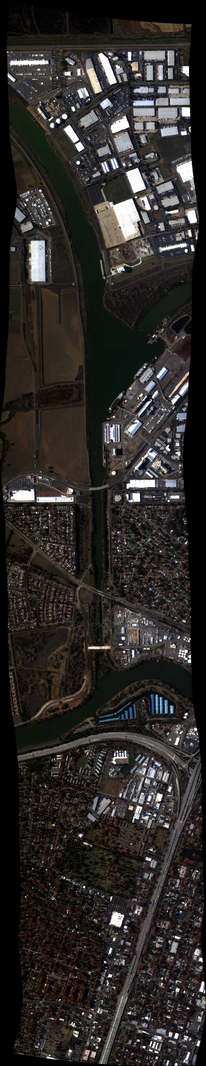
| 181944 | Sac Delta 26 (overlap line) (orthocorrected) |
Ustin | 1819 | 1829 | Alt = 8.5 kft SOG = 144 kts Clouds = Clear MCRS = 075.9 |
|||||
| 183219 | Delta 25 Zone 1 (orthocorrected) |
14T033 | Susan Ustin | 38.25736 | -121.8402 | 38.25759 | -121.4202 | 1832 | 1841 | Alt = 8.5 kft SOG = 144 kts Clouds = Clear MCRS = 256 |
| 184422 | Delta 24 Zone 1 (orthocorrected) |
14T033 | Susan Ustin | 38.27004 | -121.8403 | 38.27029 | -121.4344 | 1844 | 1853 | Alt = 8.5 kft SOG = 138 kts Clouds =Clear, some cirrus MCRS = 076 |
| 185637 | Delta 23 Zone 1 (orthocorrected) |
14T033 | Susan Ustin | 38.28249 | -121.8403 | 38.28273 | -121.4344 | 1856 | 1905 | Alt = 8.5 kft SOG = 140 kts Clouds = Clear - some cirrus MCRS = 256 |
| 190755 | Delta 22 Zone 1 (orthocorrected) |
14T033 | Susan Ustin | 38.2953 | -121.7747 | 38.29544 | -121.4602 | 1907 | 1915 | Alt = 8.5 kft SOG = 148 kts Clouds = Clear MCRS = 076 |
| 191654 | Delta 21 Zone 1 (orthocorrected) |
14T033 | Susan Ustin | 38.30799 | -121.7747 | 38.30813 | -121.4603 | 1916 | 1924 | Alt = 8.5 kft SOG = 140 kts Clouds = Clear MCRS = 256 |
| 192531 | Delta 20 Zone 1 (orthocorrected) |
14T033 | Susan Ustin | 38.32068 | -121.7748 | 38.32082 | -121.4601 | 1925 | 1932 | Alt = 8.5 kft SOG = 141 - 148 kts Clouds = Clear-some cirrus at west end MCRS = 076 |
| 193431 | Delta 19 Zone 1 (orthocorrected) |
14T033 | Susan Ustin | 38.33347 | -121.7148 | 38.33352 | -121.4602 | 1934 | 1940 | Alt = 8.5 kft SOG = 141 kts Clouds = Clear - some cirrus MCRS = 256 |
| 194223 | Delta 18 Zone 1 (orthocorrected) |
14T033 | Susan Ustin | 38.3459 | -121.7148 | 38.34595 | -121.4602 | 1942 | 1947 | Alt = 8.5 kft SOG = 150 kts Clouds = med/thin cirrus whole line MCRS = 076 |
| 195501 | Delta 1 Zone 1 (orthocorrected) |
14T033 | Susan Ustin | 38.56141 | -121.57853 | 38.5608 | -121.48413 | 1955 | 1957 | Alt = 8.5 kft Clouds = some cirrus - too much MCRS = 256 |
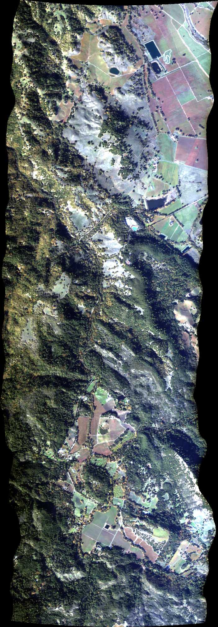
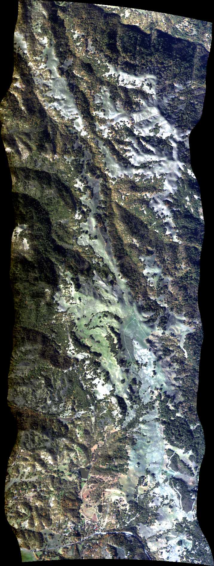
| 202548 | Pepperwood 1, CA (orthocorrected) |
14T011 | Phil Townsend | 38.57304056 | -122.6685455 | 38.63381402 | -122.7075577 | 2025 | 2029 | Alt = 14.5 kft SOG = 115 kts Clouds = Clear MCRS = 319 |
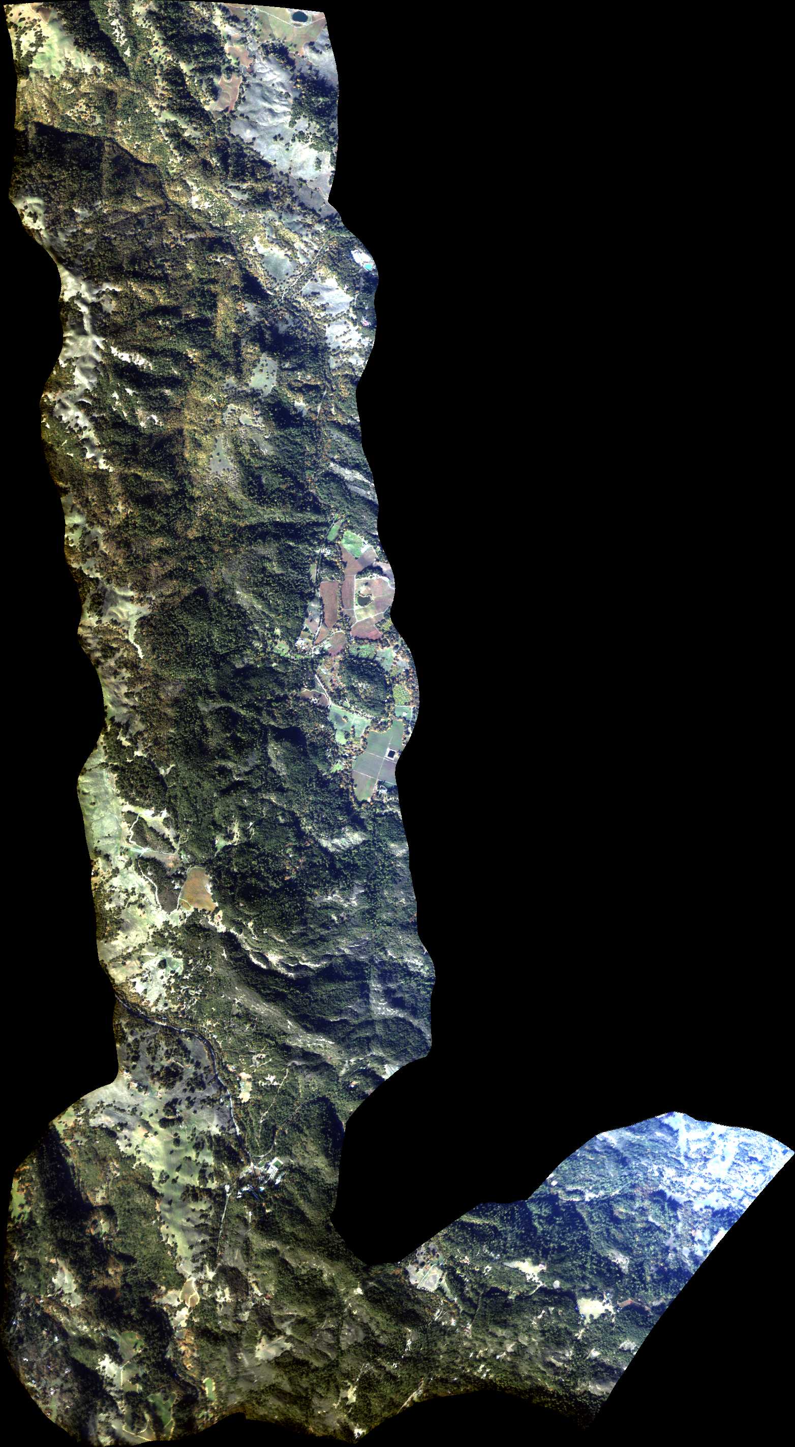
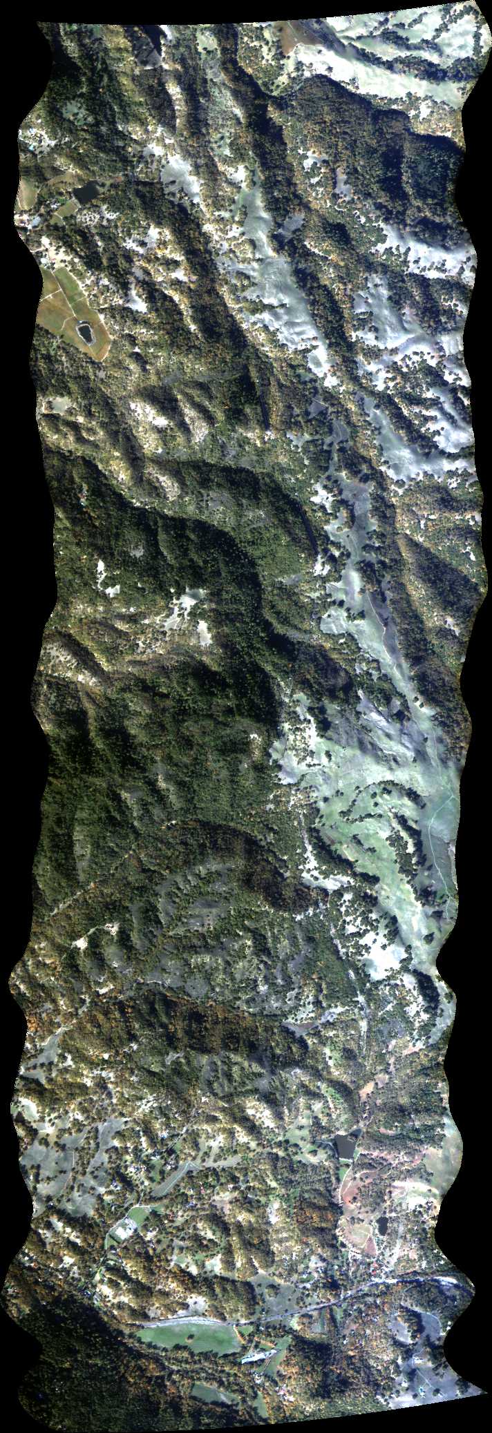
| 203048 | Pepperwood 2, CA (orthocorrected) |
14T011 | Phil Townsend | 38.62865773 | -122.715721 | 38.56777297 | -122.6766316 | 2030 | 2034 | Alt = 14.5 kft SOG = 131 kts Clouds = Clear MCRS = 139 |
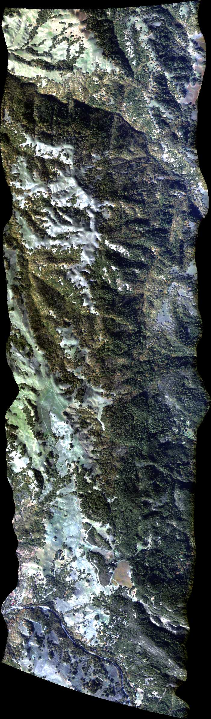
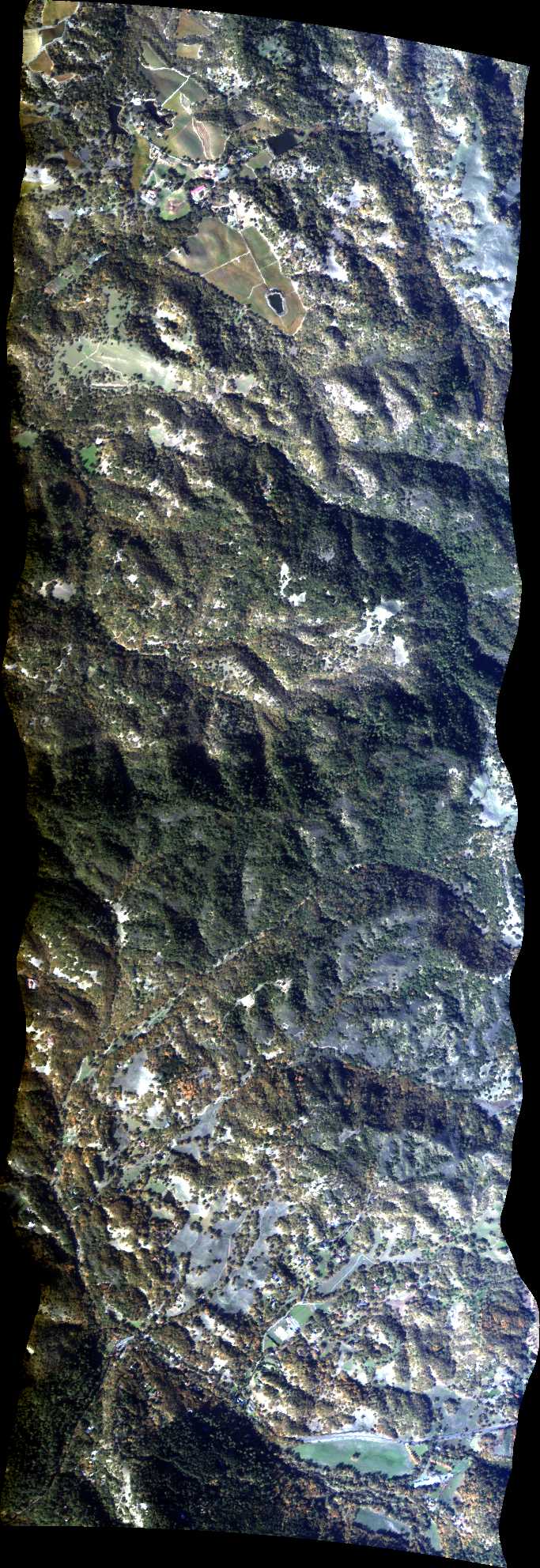
| 203606 | Pepperwood 3, CA (orthocorrected) |
14T011 | Phil Townsend | 38.56250483 | -122.6847165 | 38.62350086 | -122.7238831 | 2036 | 2039 | Alt = 14.5 kft SOG = 120 kts Clouds = Clear MCRS = 319 |
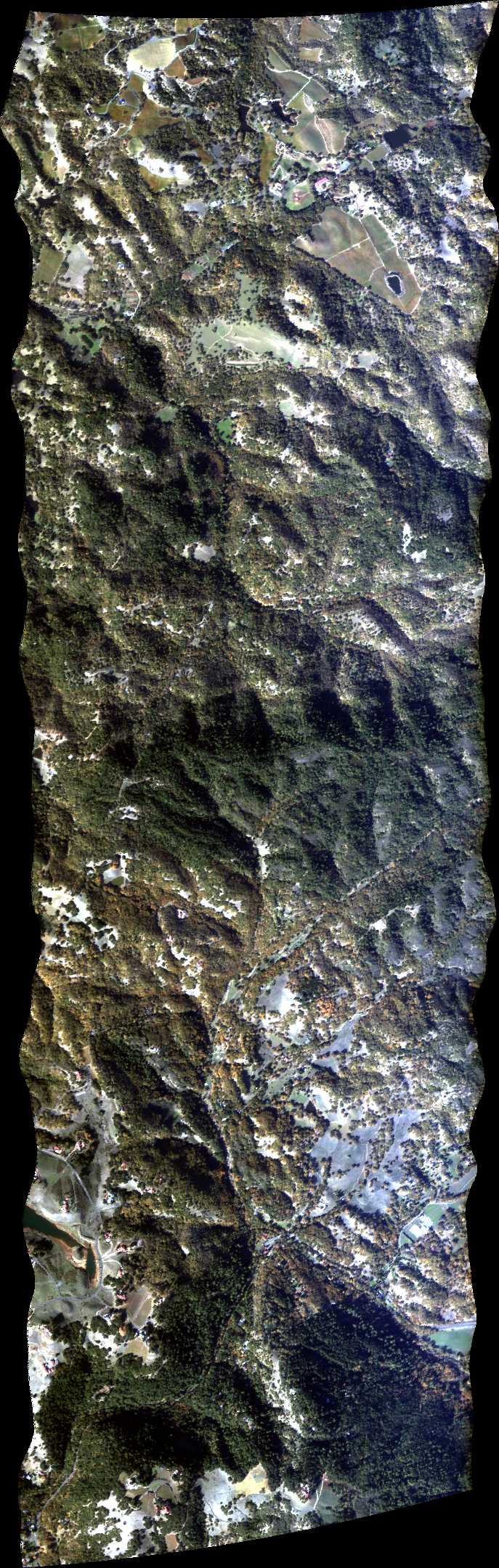
| 204141 | Pepperwood 4, CA (orthocorrected) |
14T011 | Phil Townsend | 38.61834343 | -122.732044 | 38.55723613 | -122.6928002 | 2041 | 2044 | Alt = 14.5 kft SOG = 130 kts Clouds = Clear MCRS = 139 |
| 204619 | Pepperwood 5, CA (orthocorrected) |
14T011 | Phil Townsend | 38.55196688 | -122.7008827 | 38.61318543 | -122.7402038 | 2046 | 2049 | Alt = 14.5 kft SOG = 105 kts Clouds = Clear MCRS = 319 |
| 205125 | Pepperwood 6, CA (orthocorrected) |
14T011 | Phil Townsend | 38.60802687 | -122.7483624 | 38.54669707 | -122.708964 | 2051 | 2054 | Alt = 14.5 kft SOG = 132 kts Clouds = Clear MCRS = 139 |
| 205654 | Pepperwood 7, CA (orthocorrected) |
14T011 | Phil Townsend | 38.54142671 | -122.7170441 | 38.60286774 | -122.7565198 | 2056 | Alt = 14.5 kft SOG = 105 - 110 kts Clouds = Clear MCRS = 319 |
 Back to AVIRIS NG Flight Season page