
| Run ID | Site Name | NASA Log # | Start_Lat | Start Lat | Start Lon | Stop Lat | Stop Lon | Start GMT | Stop GMT | Comments |
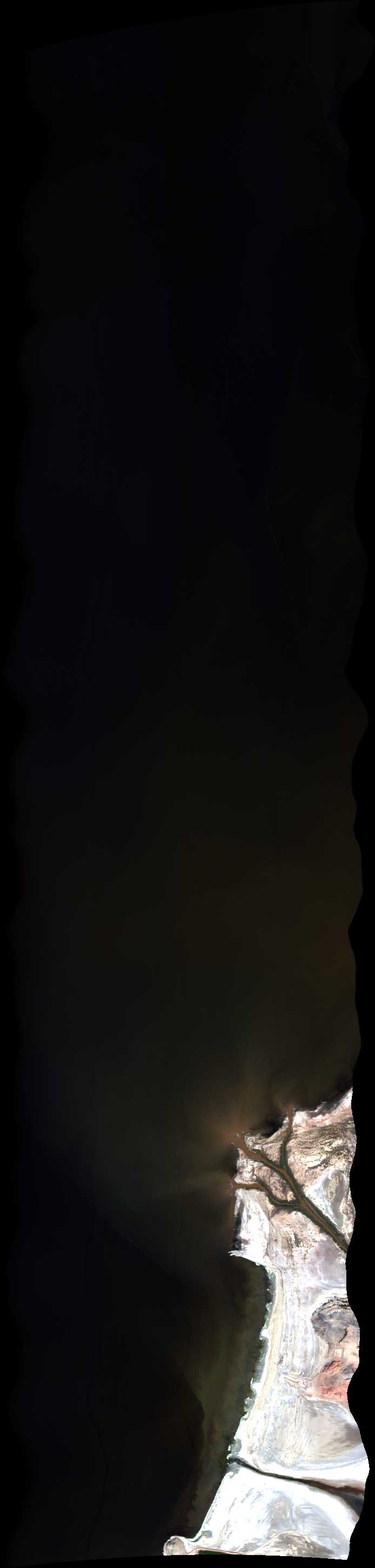
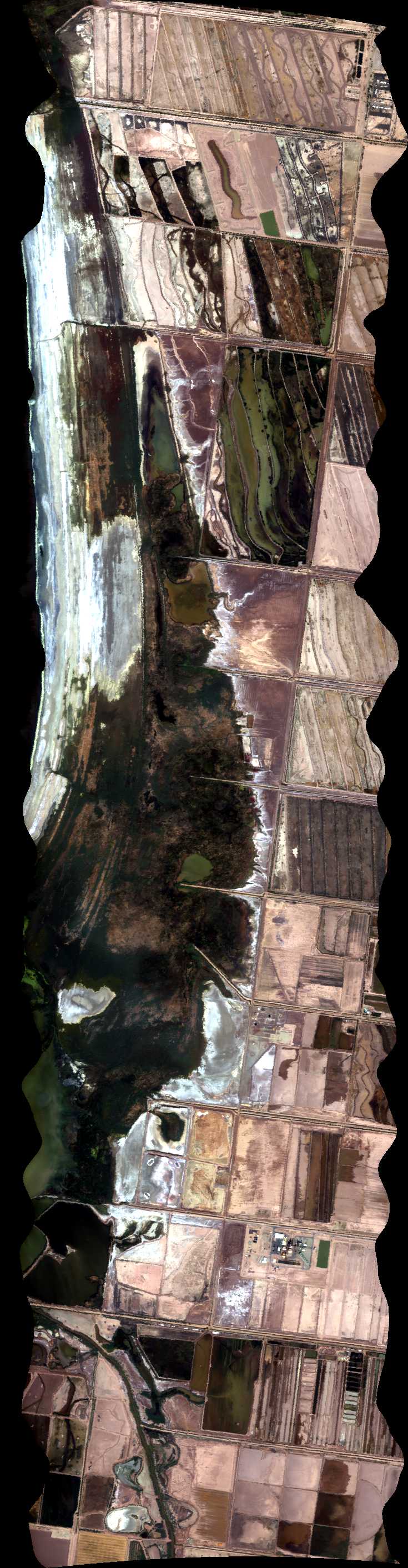
| 175546 | Salton Sea Mud Pots 1, CA (orthocorrected) |
14T011 | Phil Townsend | 33.27658202 | -115.6372876 | 33.18565313 | -115.6221704 | 1755 | 1800 | Alt = 14 kft SOG = 85 kts Clouds = Clear Direction = 160.5 deg |
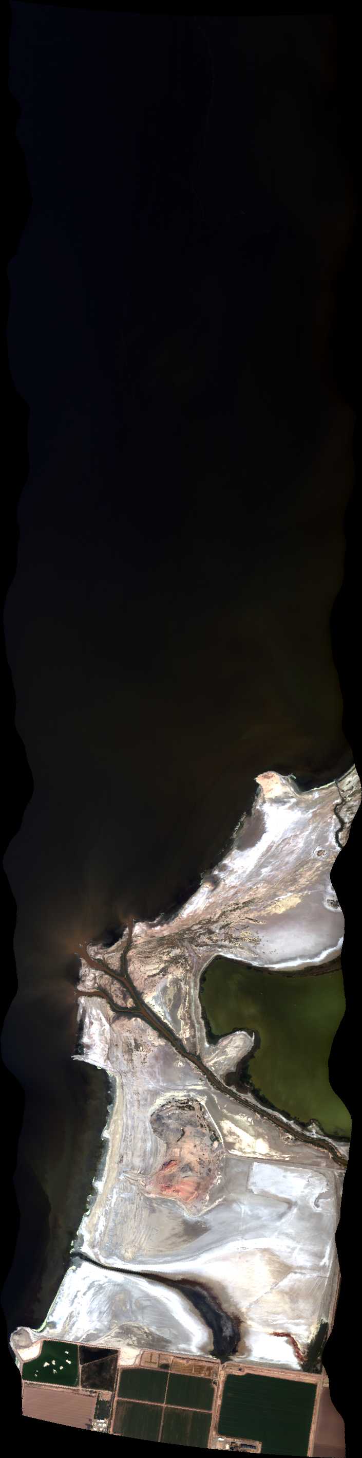
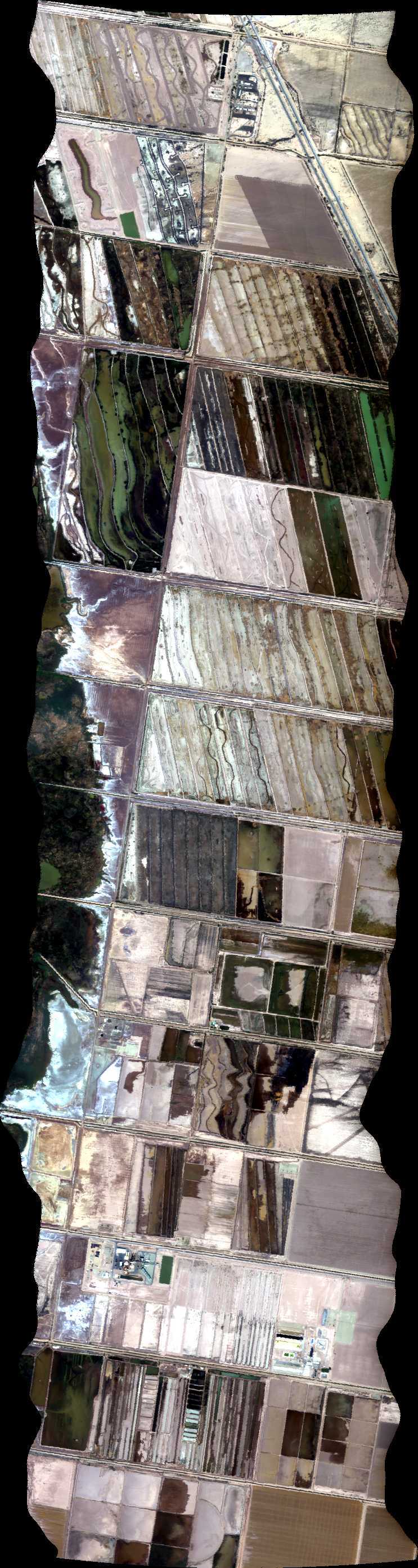
| 180311 | Salton Sea Mud Pots 2, CA (orthocorrected) |
14T011 | Phil Townsend | 33.18671966 | -115.611075 | 33.27737122 | -115.6261346 | 1803 | 1808 | Alt = 14 kft SOG = 97 kts Clouds = Clear Direction = 340 deg |
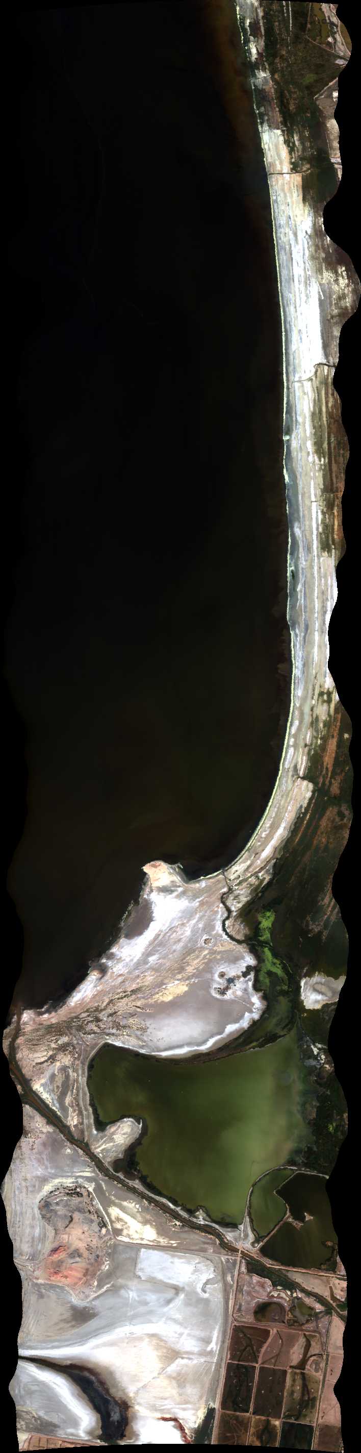
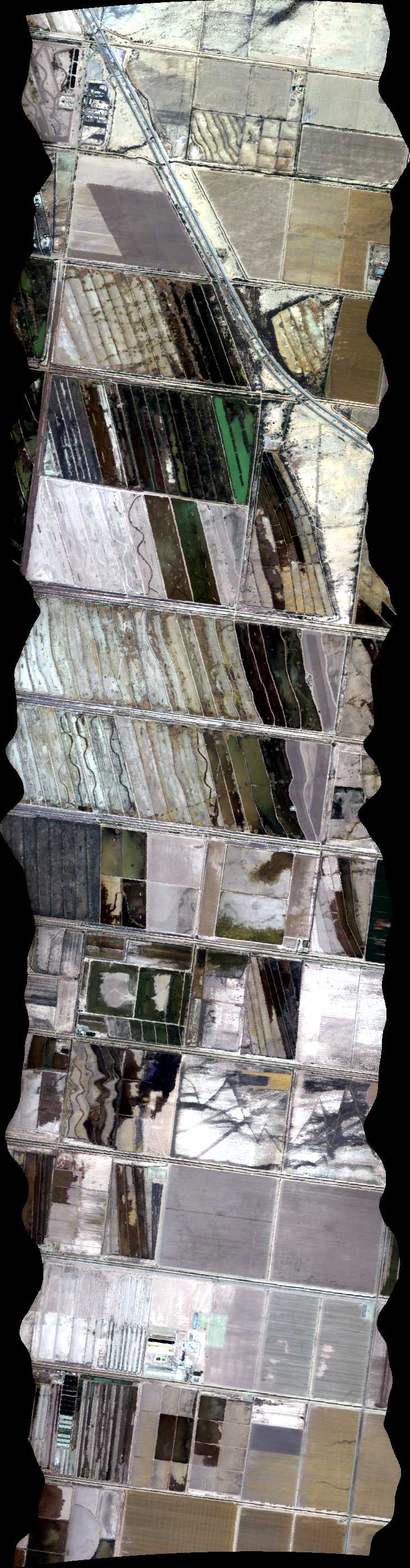
| 180935 | Salton Sea Mud Pots 3, CA (orthocorrected) |
14T011 | Phil Townsend | 33.27815943 | -115.6149814 | 33.18778521 | -115.5999795 | 1809 | 1814 | Alt = 14 kft SOG = 85 kts Clouds = Clear Direction = 160 deg |
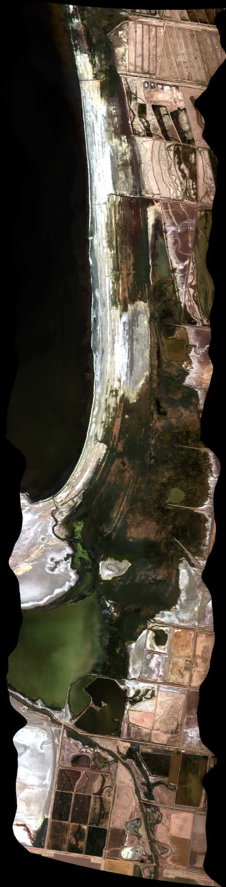
| 181637 | Salton Sea Mud Pots 4, CA (orthocorrected) |
14T011 | Phil Townsend | 33.18884977 | -115.5888836 | 33.27894664 | -115.603828 | 1816 | 1821 | Alt = 14 kft SOG = 95 kts Clouds = Clear Direction = 340 deg |
| 182234 | Salton Sea Mud Pots 5, CA (orthocorrected) |
14T011 | Phil Townsend | 33.27973285 | -115.5926744 | 33.18991334 | -115.5777875 | 1822 | 1827 | Alt = 14 kft SOG = 85 kts Clouds = Clear Direction = 160 deg |
| 182852 | Salton Sea Mud Pots 6, CA (orthocorrected) |
14T011 | Phil Townsend | 33.19097594 | -115.5666911 | 33.28051807 | -115.5815206 | 1828 | 1831 | Alt = 14 kft SOG = 100 kts Clouds = Clear Direction = 340 deg |
| 183456 | Salton Sea Mud Pots 7, CA (orthocorrected) |
14T011 | Phil Townsend | 33.28130229 | -115.5703666 | 33.19203754 | -115.5555945 | 1834 | 1839 | Alt = 14 kft SOG = 85 kts Clouds = Clear Direction = 160 deg |
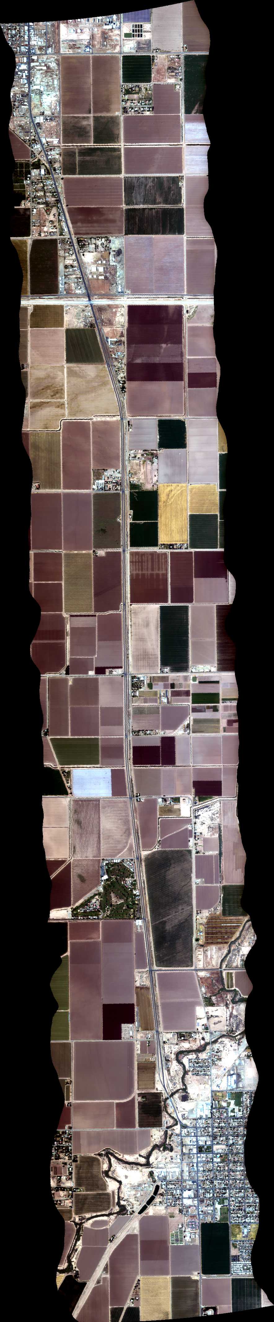
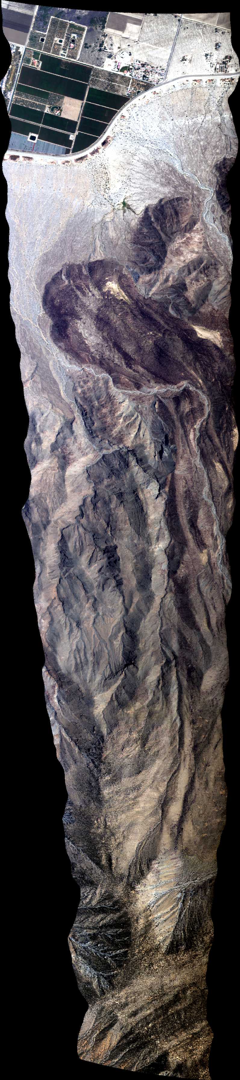
| 185216 | Desert REC, CA (orthocorrected) |
14T011 | Phil Townsend | 32.801495 | -115.537295 | 32.806278 | -115.365233 | 1852 | 1858 | Alt = 14 kft SOG = 96 kts Clouds = Clear Direction = 256.8 deg |
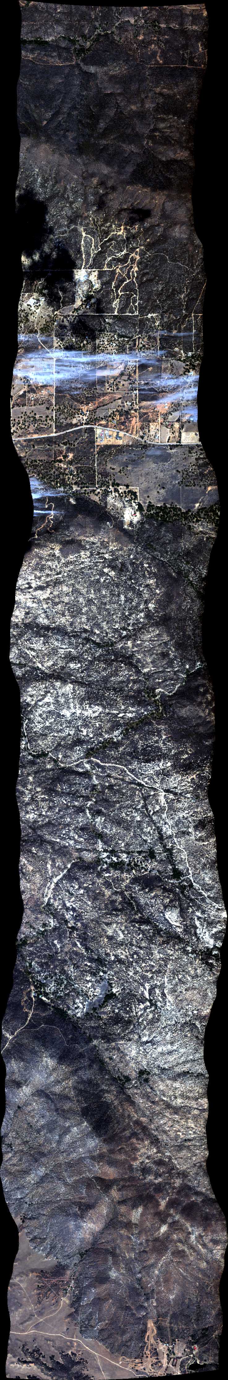
| 192555 | Sky Oaks 3, CA (orthocorrected) |
14T011 | Phil Townsend | 33.31667 | -116.6638333 | 33.41667 | -116.6638333 | 1925 | 1930 | Alt = 14 kft SOG = 95 kts Clouds = One cloud in path, cumulus below Direction = 348.2 deg |
| 193829 | Martinez Mountain Landslide (orthocorrected) |
14T011 | Phil Townsend | 33.5618 | -116.335433 | 33.589726 | -116.230849 | 1938 | 1943 | Alt = 14 kft SOG = 95 kts Clouds = Clear Direction = 60.5 deg |
| 195727 | Sky Oaks 3, CA (quicklook in process) | 14T011 | Phil Townsend | 33.31667 | -116.6638333 | 33.41667 | -116.6638333 | 1957 | 2001 | alt = 14 kft SOG = 100 kts Clouds = A few cumulus below Direction = 348.2 deg |
| 201016 | San Jacinto, CA (quicklook in process) | 14T011 | Phil Townsend | 33.91 | -116.775 | 33.76 | -116.775 | 2010 | 2016 | Alt = 14 kft SOG = 100 kts Clouds = Clear Direction = 348.1 deg |
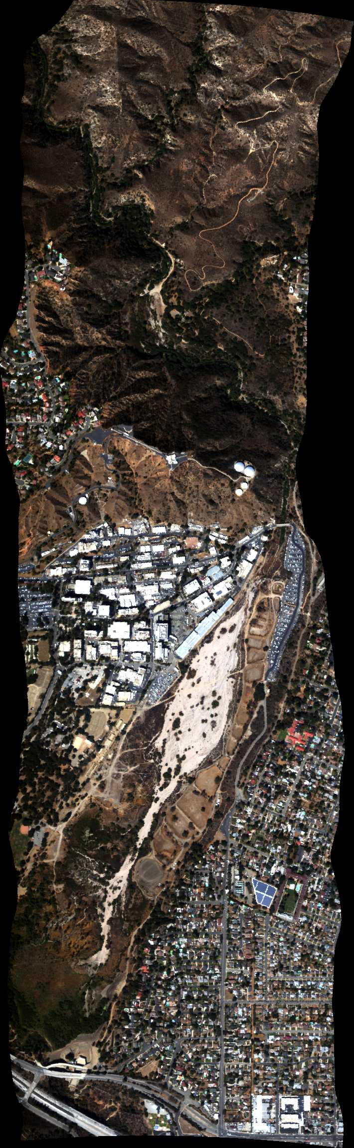
| 204600 | JPL E-W (quicklook in process) | 14T018 | Robert Green | 34.2 | -118.157 | 34.2 | -118.182 | 2046 | 2047 | Alt = 7.4 kft SOG = 85 kts Clouds = Clear Direction = 257 deg |
| 204945 | JPL S-N (orthocorrected) |
14T018 | Robert Green | 34.21 | -118.17 | 34.185 | -118.17 | 2049 | 2051 | Alt = 7.5 kft SOG = 85 kts Clouds = Clear Direction =167 deg |
 Back to AVIRIS NG Flight Season page