
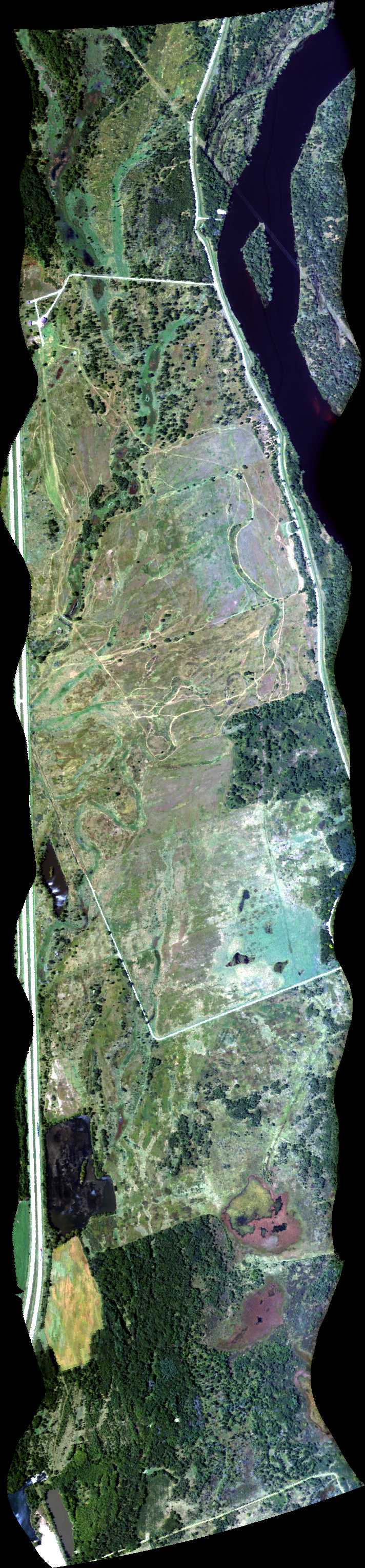
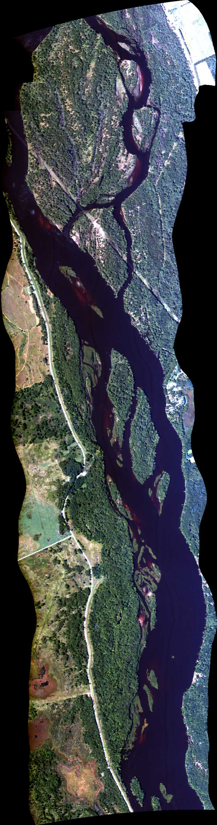
| Run ID | Site Name | NASA Log # | Start_Lat | Start Lat | Start Lon | Stop Lat | Stop Lon | Start GMT | Stop GMT | Comments |
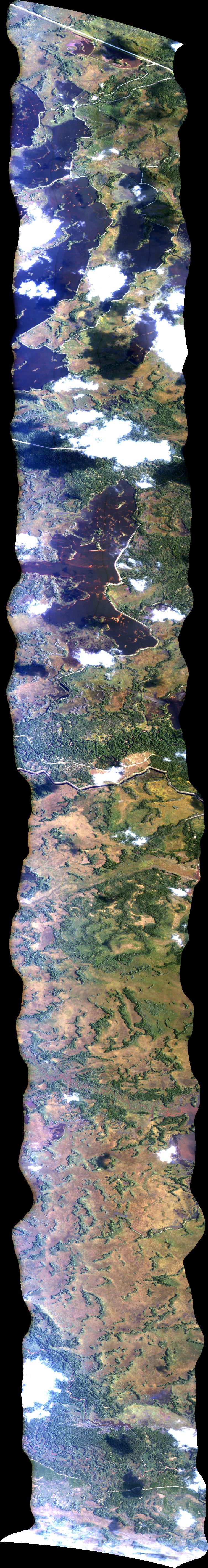
| 133740 | Seney National Wildlife Refuge 1 (orthocorrected) |
14T025 | Michael Falkowski | 46.1338 | -86.0876 | 46.2588 | -85.907 | 1337 | 1345 | Alt = 14 kft SOG = 85 kts Clouds = Many clouds, no cirrus Direction = 231 deg |
| 140345 | Seney National Wildlife Refuge 2 - ABORTED (orthocorrected) |
14T025 | Michael Falkowski | 46.145 | -86.1079 | 46.2725 | -85.9239 | 1403 | 1406 | Alt = 14 kft SOG = 95 kts Clouds = lots of clouds - aborted Direction = 51 deg |
| 142121 | Seney National Wildlife Refuge 1 (orthocorrected) |
14T025 | Michael Falkowski | 46.1338 | -86.0876 | 46.2588 | -85.907 | 1421 | 1426 | Alt = 14 kft SOG = 100 - 88 kts Clouds = clouds, OK first part of line Direction = 51 deg |
| 143429 | Seney National Wildlife Refuge 2 (orthocorrected) |
14T025 | Michael Falkowski | 46.145 | -86.1079 | 46.2725 | -85.9239 | 1434 | 1442 | Alt = 14 kft SOG = 96 - 100 kts Clouds = OK Direction = 51 deg |
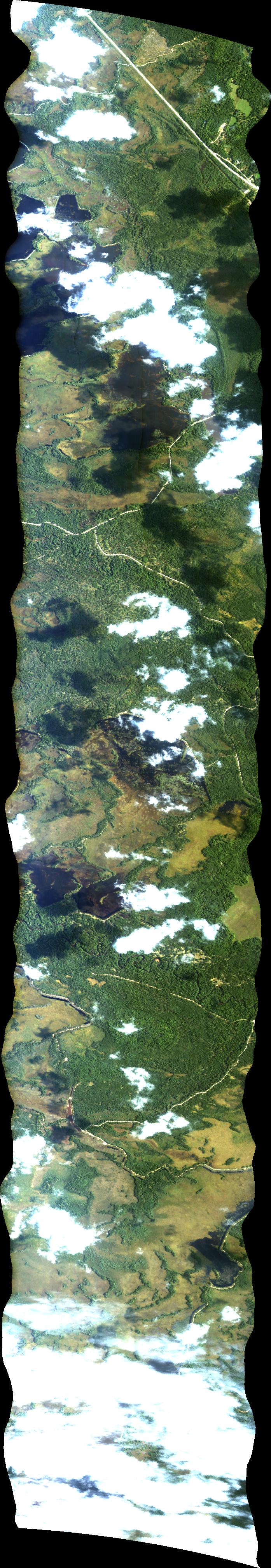
| 144526 | Seney National Wildlife Refuge 3 (orthocorrected) |
14T025 | Michael Falkowski | 46.1582 | -86.1255 | 46.2852 | -85.9422 | 1445 | 1455 | Alt = 14 kft SOG = 76 kts Clouds = few Direction = 231 deg |
| 145654 | Seney National Wildlife Refuge 1 (orthocorrected) |
14T025 | Michael Falkowski | 46.1338 | -86.0876 | 46.2588 | -85.907 | 1456 | 1504 | Alt = 14 kft SOG = 95 kts Clouds = few Direction = 51 deg |
| 150617 | Seney National Wildlife Refuge 2 (orthocorrected) |
14T025 | Michael Falkowski | 46.145 | -86.1079 | 46.2725 | -85.9239 | 1506 | 1513 | Alt = 14 kft SOG = 76 kts Clouds = Some Direction = 231 deg |
| 151614 | Seney National Wildlife Refuge 4 (orthocorrected) |
14T025 | Michael Falkowski | 46.1716 | -86.1429 | 46.297 | -85.962 | 1516 | 1522 | Alt = 14 kft SOG = 93 kts Clouds = some Direction = 51 deg |
| 153009 | Fogged Window (orthocorrected) |
Eastwood | 1530 | 1611 | Alt = 7 kft SOG = 73 kts Clouds = Some Direction = circle |
|||||
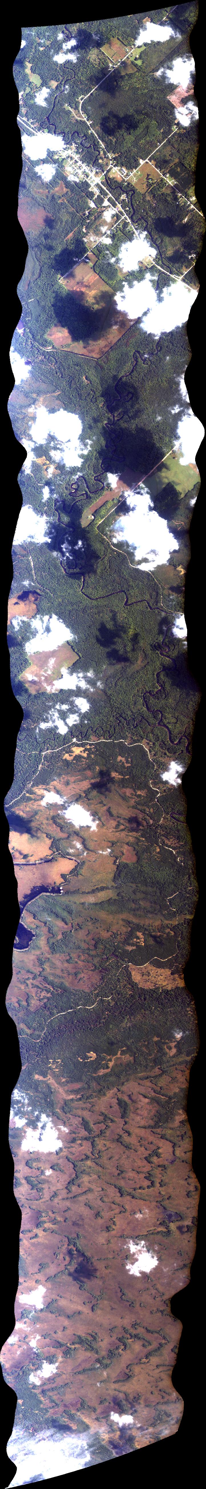
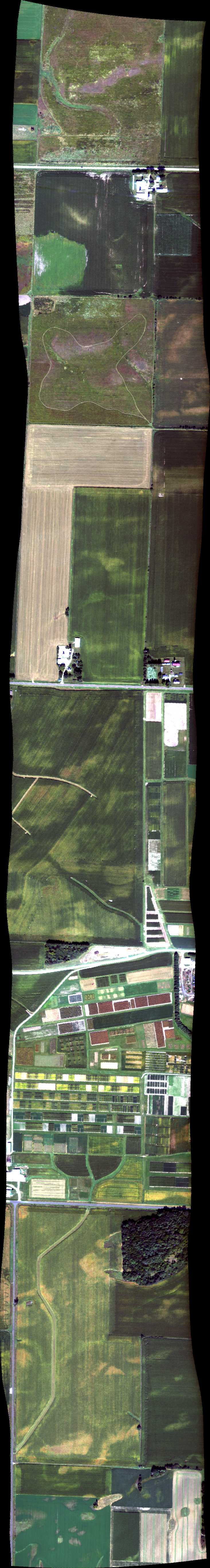
| 171453 | Aspen Garden (orthocorrected) |
14T021 | Phil Townsend | 43.276196 | -89.366166 | 43.328844 | -89.366849 | 1714 | 1719 | Alt = 10 kft SOG = 90 kts Clouds = Clear, no cirrus Direction = 182 deg |
| 172109 | Highway-i (orthocorrected) |
14T021 | Phil Townsend | 43.27623 | -89.369235 | 43.315855 | -89.3921 | 1721 | 1724 | Alt = 10 kft SOG = 75 kts Clouds = Clear Direction = 159 deg |
| 173126 | Aspen Garden (orthocorrected) |
14T021 | Phil Townsend | 43.276196 | -89.366166 | 43.328844 | -89.366849 | 1731 | 1734 | Alt = 4 kft SOG = 94 kts Clouds = Clear Direction = 2 deg |
| 173735 | Aspen Garden (orthocorrected) |
14T021 | Phil Townsend | 43.276196 | -89.366166 | 43.328844 | -89.366849 | 1737 | 1742 | Alt = 4 kft SOG = 68 kts Clouds = Clear Direction = 182 deg |
| 174249 | Aspen Garden (East) (orthocorrected) |
14T021 | Phil Townsend | 43.276196 | -89.366166 | 43.328844 | -89.366849 | 1742 | 1745 | Alt = 4 kft SOG = 95 kts Clouds = Clear Direction = 2 deg |
| 174735 | Highway-i (orthocorrected) |
14T021 | Phil Townsend | 43.27623 | -89.369235 | 43.315855 | -89.3921 | 1747 | 1751 | Alt = 4 kft SOG = 65 kts Clouds = Clear Direction = 159 deg |
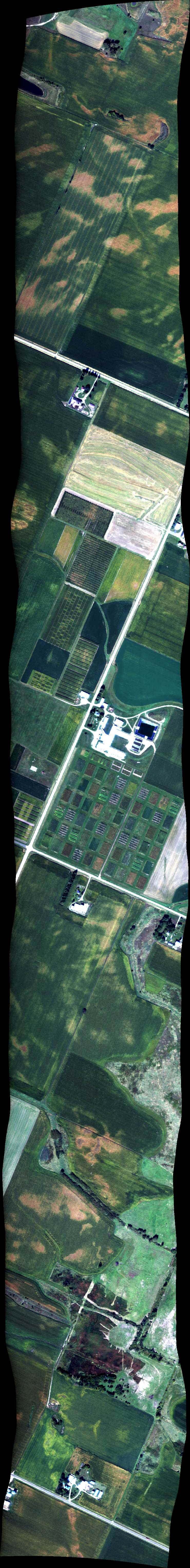
| 175907 | Pine Island (orthocorrected) |
14T021 | Phil Townsend | 43.543 | -89.5905 | 43.5248 | -89.5237 | 1759 | 1802 | Alt = 8 kft SOG = 79 kts Clouds = Clear Direction = 293 deg |
| 180315 | Pine Island (North) (orthocorrected) |
14T021 | Phil Townsend | 43.543 | -89.5905 | 43.5248 | -89.5237 | 1803 | 1806 | Alt = 8 kft SOG = 90 kts Clouds = Clear Direction = 113 deg |
| 181052 | Highway-i (orthocorrected) |
14T021 | Phil Townsend | 43.27623 | -89.369235 | 43.315855 | -89.3921 | 1810 | 1813 | Alt = descending SOG = 150 kts Clouds = Clear Direction = 150 deg |
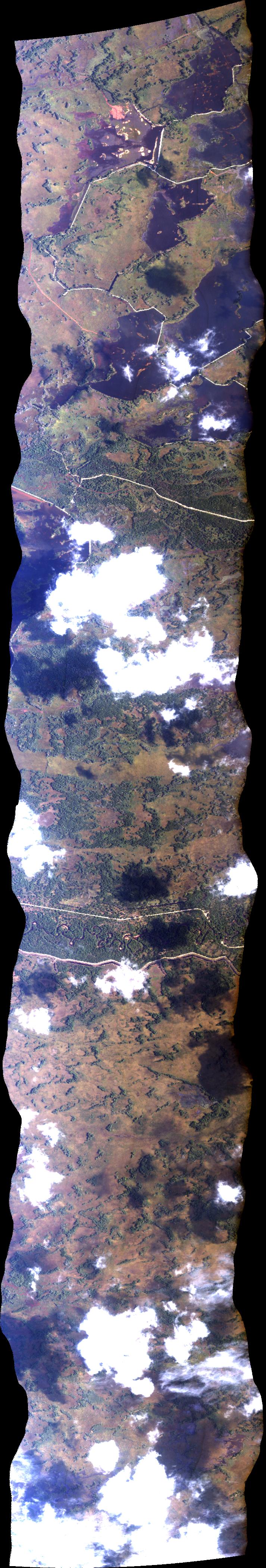
| 194211 | Biodiversity Gradient (orthocorrected) |
14T021 | Phil Townsend | 43.074614 | -89.397346 | 43.083732 | -89.69029 | 1942 | 1949 | Alt = 8 kft SOG = 110 kts Clouds = some diffuse layer Direction = 0 deg |
 Back to AVIRIS NG Flight Season page