
| Run ID | Site Name | NASA Log # | Start_Lat | Start Lat | Start Lon | Stop Lat | Stop Lon | Start GMT | Stop GMT | Comments |
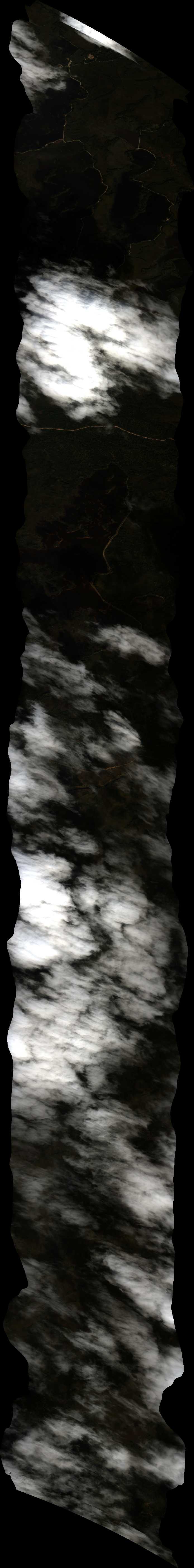
| 201130 | Seney National Wildlife Refuge 3 (orthocorrected) |
14T025 | Michael Falkowski | 46.1582 | -86.1255 | 46.2852 | -85.9422 | 2011 | 2022 | Alt = 14 kft SOG = 60 - 70 kts Clouds = 50-60% clouds below Direction = 229 deg |
| 203100 | Seney National Wildlife Refuge 1 (orthocorrected) |
14T025 | Michael Falkowski | 46.1338 | -86.0876 | 46.2588 | -85.907 | 2031 | 2041 | Alt = 13.8 kft SOG = 70 kts Clouds = 70-80 % clouds below Direction = 230 deg |
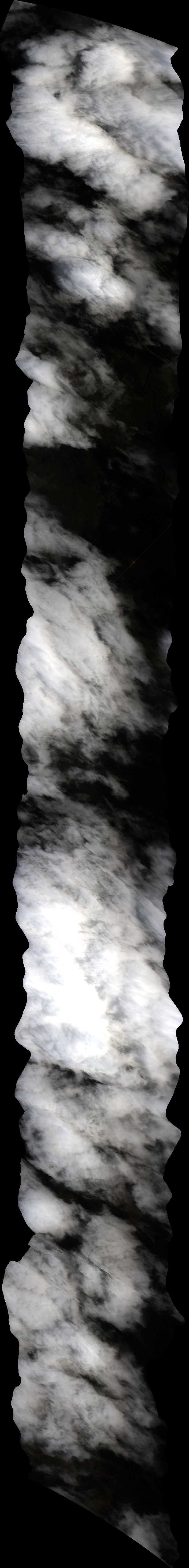
| 222653 | Seney National Wildlife Refuge 2 (orthocorrected) |
14T025 | Michael Falkowski | 46.145 | -86.1079 | 46.2725 | -85.9239 | 2226 | 2336 | Alt = 13.8 kft SOG = 82 kts Clouds = 60-70% clouds below but clear gap at the end of run Direction = 46 deg |
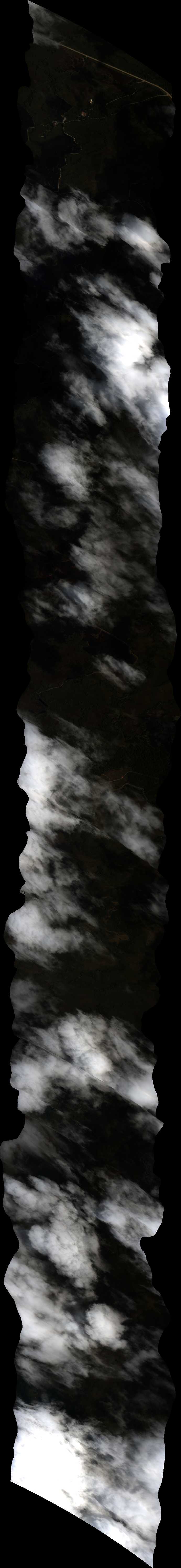
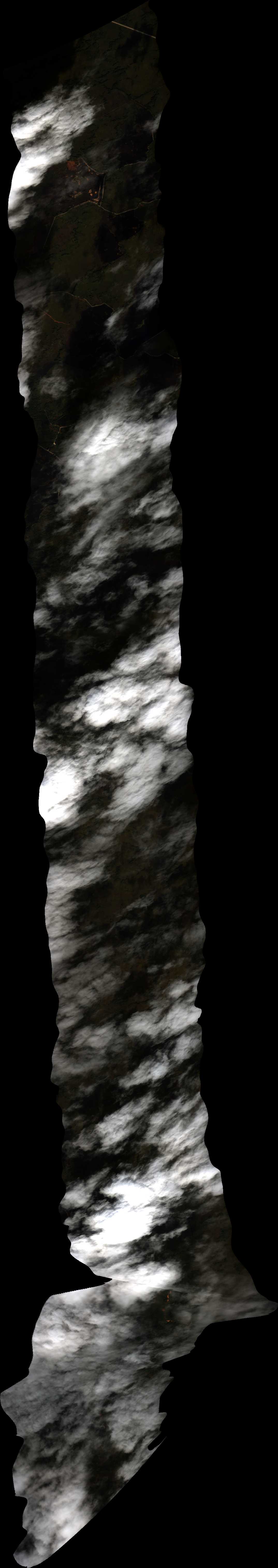
| 223708 | Seney National Wildlife Refuge 3 (orthocorrected) |
14T025 | Michael Falkowski | 46.1582 | -86.1255 | 46.2852 | -85.9422 | 2237 | 2246 | Alt = 13.9 kft SOG = 73 kts Clouds = 40-50% large clear gap at start of run Direction = 230 deg |
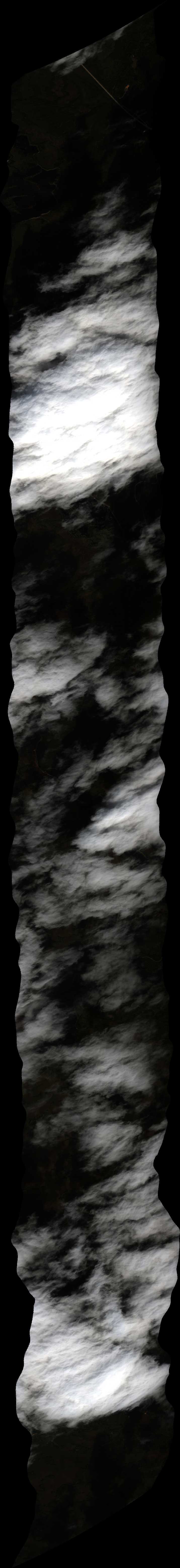
| 224736 | Seney National Wildlife Refuge 4 (orthocorrected) |
14T025 | Michael Falkowski | 46.1716 | -86.1429 | 46.297 | -85.962 | 2247 | 2257 | Alt = 13.9 kft SOG = 74 kts Clouds = 60-70% with clear gap at end of run Direction = 50 deg |
 Back to AVIRIS NG Flight Season page