
| Run ID | Site Name | NASA Log # | Start_Lat | Start Lat | Start Lon | Stop Lat | Stop Lon | Start GMT | Stop GMT | Comments |
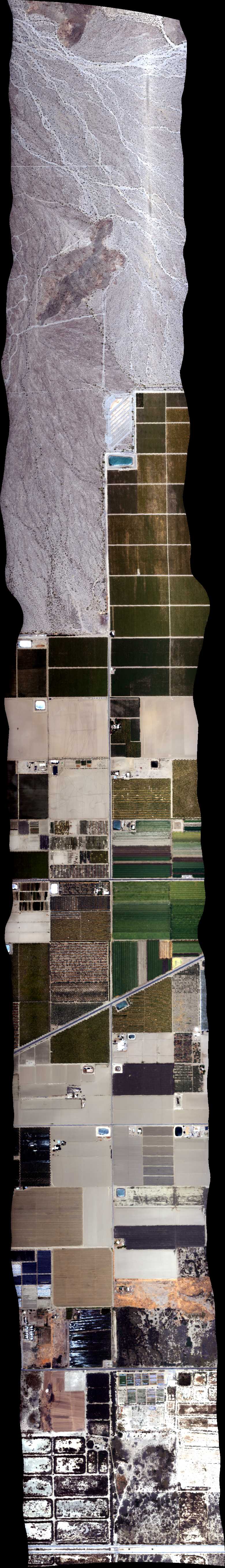
| 001148 | Soda Dry Lake South (orthocorrected) |
14T018 | Robert Green | 35.218271 | -119.887513 | 35.259780 | -119.903207 | 0012 | 0014 | Alt = 3.9 kft SOG = 120 kts Clouds = Clear Direction = 150 deg |
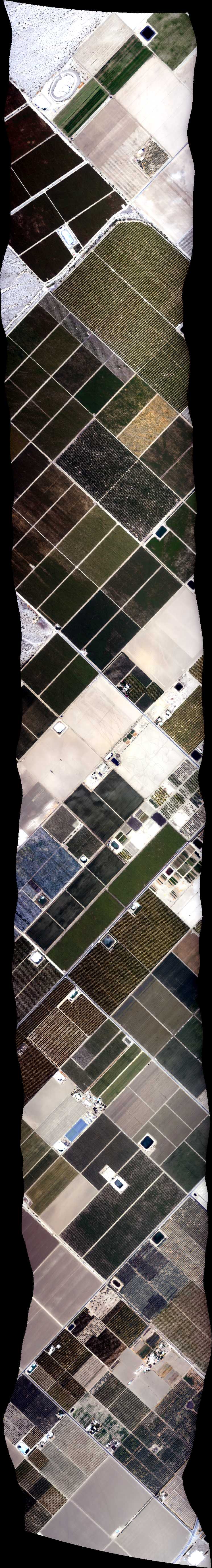
| 001612 | Soda Dry Lake North (orthocorrected) |
14T018 | Robert Green | 35.218271 | -119.887513 | 35.259780 | -119.903207 | 0016 | 0018 | Alt = 3.9 kft SOG = 125 kts Clouds = Clear Direction = 330 deg |
| 175459 | Test Run (orthocorrected) |
Green | 1755 | 1756 | Alt = Climb SOG = cruise Clouds = Clear and haze |
|||||
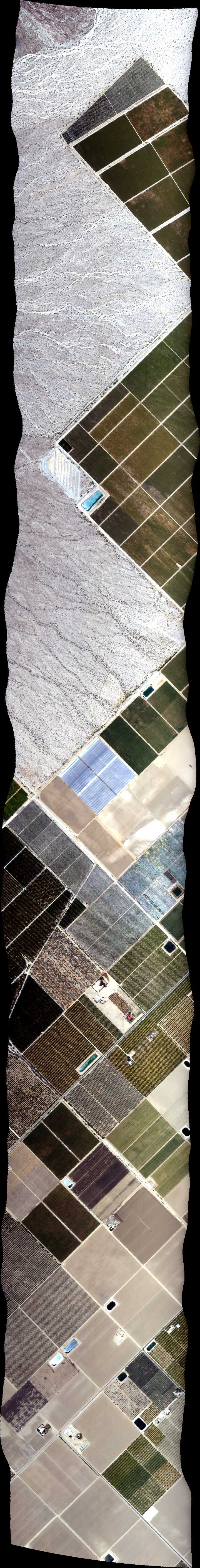
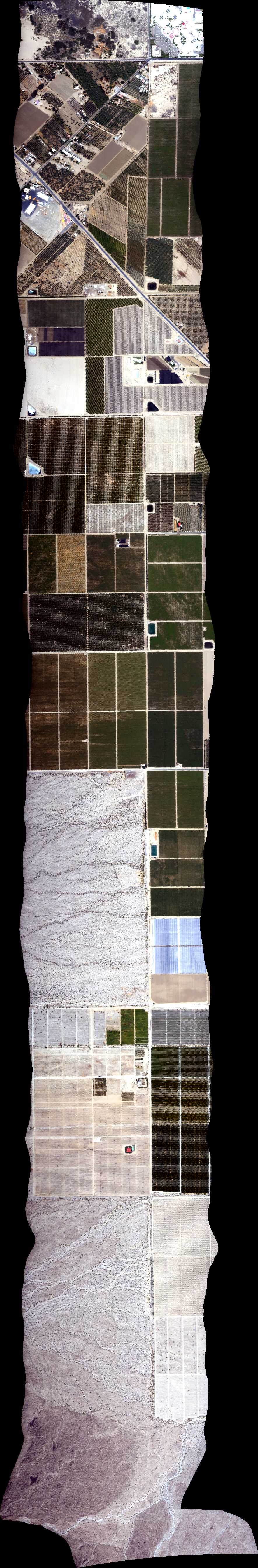
| 190708 | Desert REC, CA (orthocorrected) |
14T011 | Phil Townsend | 32.801495 | -115.537295 | 32.806278 | -115.365233 | 1907 | 1914 | Alt = 13 kft SOG = 85 kts Clouds = Clear Direction = 77 deg |
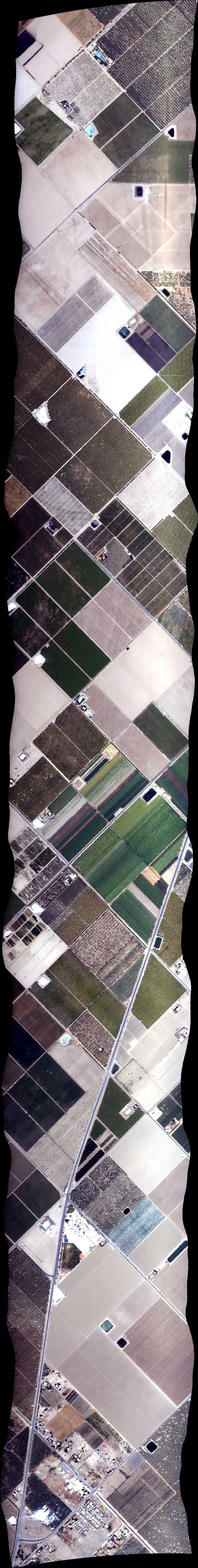
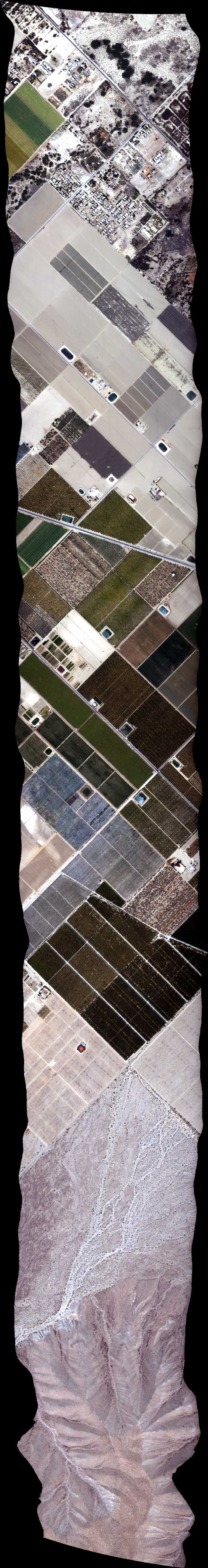
| 193935 | Coachella BRDF 6 NS, CA (orthocorrected) |
14T011 | Phil Townsend | 33.477212 | -116.155776 | 33.566856 | -116.155776 | 1940 | 1944 | Alt = 6.5 kft SOG = 77 kts Clouds = Clear Direction = 348 deg |
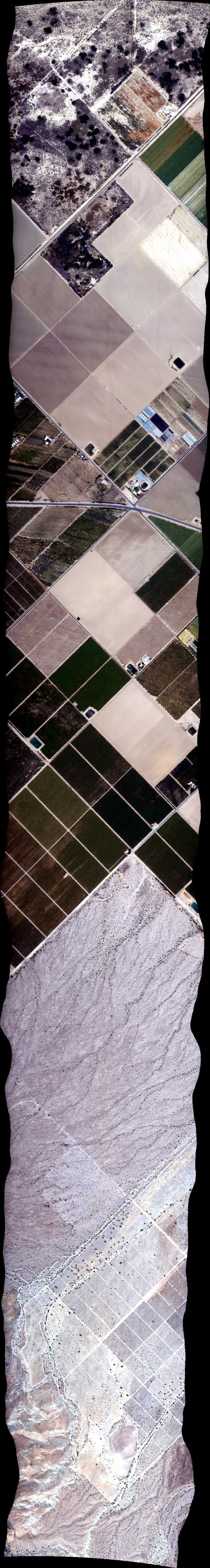
| 194743 | Coachella BRDF 11 45, CA (orthocorrected) |
14T011 | Phil Townsend | 33.490340 | -116.193786 | 33.553728 | -116.117752 | 1948 | 1952 | Alt = 6.5 kft SOG = 86 kts Clouds = Clear Direction = 213 deg |
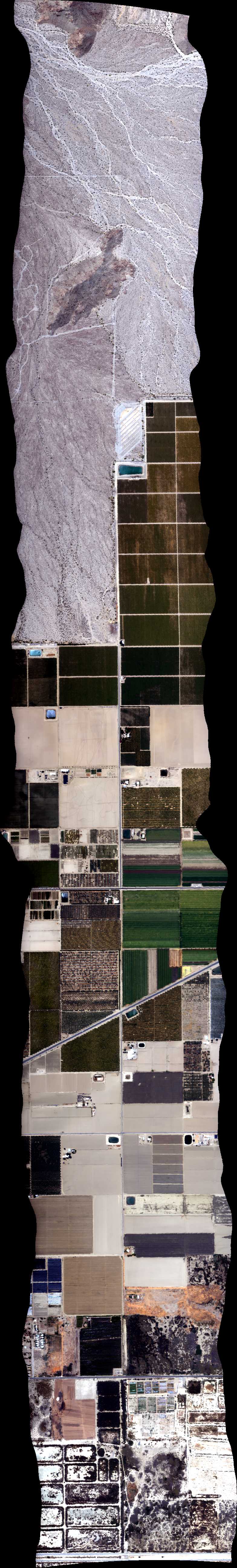
| 195521 | Coachella BRDF (orthocorrected) |
14T011 | Phil Townsend | 33.524760 | -116.204411 | 33.526007 | -116.099729 | 1955 | 2000 | Alt = 6.5 kft SOG = 89 kts Clouds = Clear Direction = 77 deg |
| 200313 | Coachella BRDF 16 135, CA (orthocorrected) |
14T011 | Phil Townsend | 33.553728 | -116.193800 | 33.490340 | -116.117766 | 2003 | 2008 | Alt = 6.5 kft SOG = 83 kts Clouds = Clear Direction = 303 deg |
| 201022 | Coachella BRDF 19 2m res overlap 135, CA (orthocorrected) |
14T011 | Phil Townsend | 33.5604 | -116.1858 | 33.4970 | -116.1098 | 2010 | 2015 | Alt = 6.5 kft SOG = 78 kts Clouds = Clear Direction = 123 deg |
| 201757 | Coachella BRDF (orthocorrected) |
14T011 | Phil Townsend | 33.524760 | -116.204411 | 33.526007 | -116.099729 | 2018 | 2023 | Alt = 6.5 kft SOG = 80 kts Clouds = Clear Direction = 303 deg |
| 202608 | Coachella BRDF 9 2m res overlap NS, CA (orthocorrected) |
14T011 | Phil Townsend | 33.4772 | -116.1671 | 33.5669 | -116.1671 | 2026 | 2031 | Alt = 6.5 kft SOG = 76 kts Clouds = Clear Direction = 168 deg |
| 203320 | Coachella BRDF 15 2m res overlap 45, CA (orthocorrected) |
14T011 | Phil Townsend | 33.4837 | -116.1858 | 33.5471 | -116.1097 | 2033 | 2038 | Alt = 6.5 kft SOG = 83 kts Clouds = Clear Direction = 33 deg |
| 204056 | Coachella BRDF 14 2m res overlap 45, CA (orthocorrected) |
14T011 | Phil Townsend | 33.4970 | -116.2018 | 33.5604 | -116.1258 | 2041 | 2045 | Alt = 6.5 kft SOG = 84 kts Clouds = Clear Direction = 213 deg |
| 204820 | Coachella BRDF (orthocorrected) |
14T011 | Phil Townsend | 33.524760 | -116.204411 | 33.526007 | -116.099729 | 2048 | 2053 | Alt = 6.5 kft SOG = 76 kts Clouds = Clear Direction = 77 deg EW |
| 205722 | Coachella BRDF 10 2m res overlap NS, CA (orthocorrected) |
14T011 | Phil Townsend | 33.4772 | -116.1445 | 33.5669 | -116.1444 | 2057 | 2102 | Alt = 6.5 kft SOG = 72 kts Clouds = Clear Direction = 348 deg |
 Back to AVIRIS NG Flight Season page