
| Run ID | Site Name | NASA Log # | Start_Lat | Start Lat | Start Lon | Stop Lat | Stop Lon | Start GMT | Stop GMT | Comments |
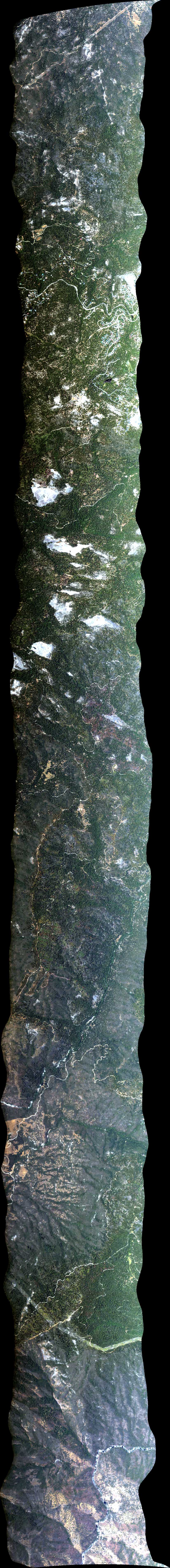
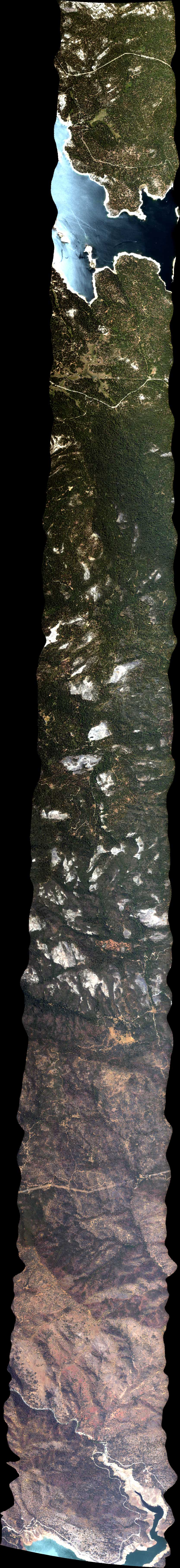
| 183400 | NEON Sierra BRDF 6 NS, CA (orthocorrected) |
14T011 | Phil Townsend | 36.898373 | -119.256257 | 37.158343 | -119.256257 | 1834 | 1846 | Alt = 17.5 kft SOG = 78 - 84 kts Clouds = Clear Direction = 436.2 deg Compression test run w/ data take |
| 185335 | NEON Sierra BRDF 1 EW, CA (orthocorrected) |
14T011 | Phil Townsend | 37.028358 | -119.419076 | 37.028358 | -119.093438 | 1854 | 1906 | Alt = 17.5 kft SOG = 82 - 78 kts Clouds = Clear Direction = 257 deg |
| 191124 | NEON Sierra BRDF 11 45, CA (orthocorrected) |
14T011 | Phil Townsend | 36.936445 | -119.371318 | 37.120271 | -119.141057 | 1911 | 1923 | Alt = 17.7 kft SOG = 85 kts Clouds = Clear Direction = 31.9 deg |
| 192958 | NEON Sierra BRDF 3 EW 4m res overlap, CA (orthocorrected) |
14T011 | Phil Townsend | 37.009472 | -119.419036 | 37.009472 | -119.093478 | 1930 | 1942 | Alt = 17.6 kft SOG = 77 kts Clouds = Clear Direction = 257 deg |
| 194639 | NEON Sierra BRDF 12 45 4m res overlap, CA (orthocorrected) |
14T011 | Phil Townsend | 36.9498 | -119.3880 | 37.1336 | -119.1578 | 1947 | 1959 | Alt = 17.6 kft SOG = 79 - 83 kts Clouds = Clear Compression test run w/ data take Direction = 31.9 deg |
| 200439 | NEON Sierra BRDF 2 EW 4m res overlap, CA (orthocorrected) |
14T011 | Phil Townsend | 37.047244 | -119.419117 | 37.047244 | -119.093397 | 2005 | 2017 | Alt = 17.7 kft SOG = 96 - 80 kts Clouds = Clear Direction = 256 deg Haze developed in canyon |
| 202235 | NEON Sierra BRDF 13 45 4m res overlap, CA (orthocorrected) |
14T011 | Phil Townsend | 36.9231 | -119.3546 | 37.1069 | -119.1243 | 2023 | 2035 | Alt = 17.6 kft SOG = 80 kts Clouds = Clear Direction = 31.9 deg Haze developed in canyon |
| 204322 | NEON Sierra BRDF 8 NS 4m res overlap, CA (orthocorrected) |
14T011 | Phil Townsend | 36.8984 | -119.2326 | 37.1583 | -119.2326 | 2043 | 2056 | Alt = 17.7 kft SOG = 76 - 79 kts Clouds = Clear Direction = 347 deg Haze developed in canyon |
| 210131 | NEON Sierra BRDF 16 135, CA (orthocorrected) |
14T011 | Phil Townsend | 37.120271 | -119.371457 | 36.936445 | -119.141196 | 2102 | 2110 | Alt = 17.8 kft SOG = 88 - 150 kts Clouds = Clear Direction = 121.6 deg |
| 211425 | NEON Sierra BRDF 7 NS 4m res overlap, CA (orthocorrected) |
14T011 | Phil Townsend | 36.8984 | -119.2799 | 37.1583 | -119.2800 | 2114 | 2126 | Alt = 17.8 kft SOG = 74 - 82 kts Clouds = Clear Direction = 346 deg |
| 213306 | NEON Sierra BRDF 14 45 2m res overlap, CA (orthocorrected) |
14T011 | Phil Townsend | 36.9431 | -119.3797 | 37.1269 | -119.1494 | 2133 | 2144 | Alt = 10.9 kft SOG = 80 - 90 kts Clouds = Clear Direction = 212 deg |
| 214818 | NEON Sierra BRDF 9 NS 2m res overlap, CA (orthocorrected) |
14T011 | Phil Townsend | 36.8984 | -119.2681 | 37.1583 | -119.2681 | 2148 | 2201 | Alt = 10.9 kft SOG = 78 kts Clouds = Clear Direction = 346.9 deg |
| 220651 | NEON Sierra BRDF 4 EW 2m res overlap, CA (orthocorrected) |
14T011 | Phil Townsend | 37.037802 | -119.419096 | 37.037802 | -119.093418 | 2207 | 2219 | Alt = 10.8 kft SOG = 78 kts Clouds = Clear Direction = 257 deg |
 Back to AVIRIS NG Flight Season page