
| Run ID | Site Name | NASA Log # | Start_Lat | Start Lat | Start Lon | Stop Lat | Stop Lon | Start GMT | Stop GMT | Comments |
| 200334 | San Jacinto, CA (quicklook in process) | 14T011 | Phil Townsend | 33.91 | -116.775 | 33.76 | -116.775 | 2003 | 2011 | Alt = 17.5 kft SOG = 80 kts Clouds = Clear Direction = 168 |
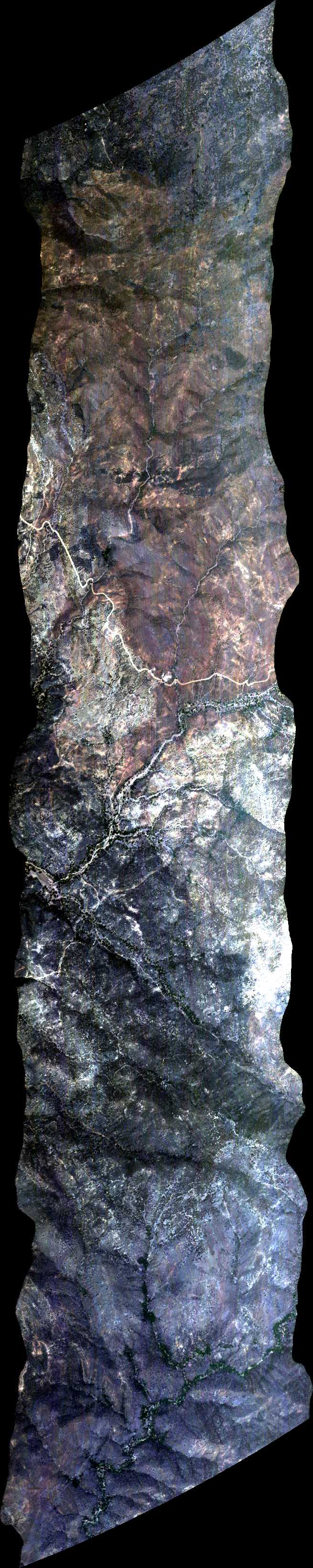
| 202935 | Sky Oaks 1, CA (orthocorrected) |
14T011 | Phil Townsend | 33.31667 | -116.6221667 | 33.41667 | -116.6221667 | 2029 | 2034 | Alt = 18.5 kft SOG = 97 kts Clouds = Clear Direction = 348.2 |
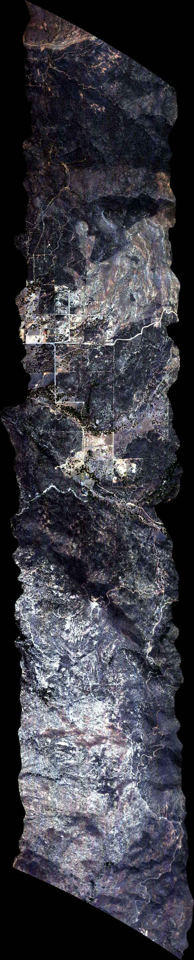
| 203738 | Sky Oaks 2, CA (orthocorrected) |
14T011 | Phil Townsend | 33.31667 | -116.644167 | 33.41667 | -116.644167 | 2037 | 2044 | Alt = 18 kft SOG = 62 kts Clouds = Clear Direction = 168.1 |
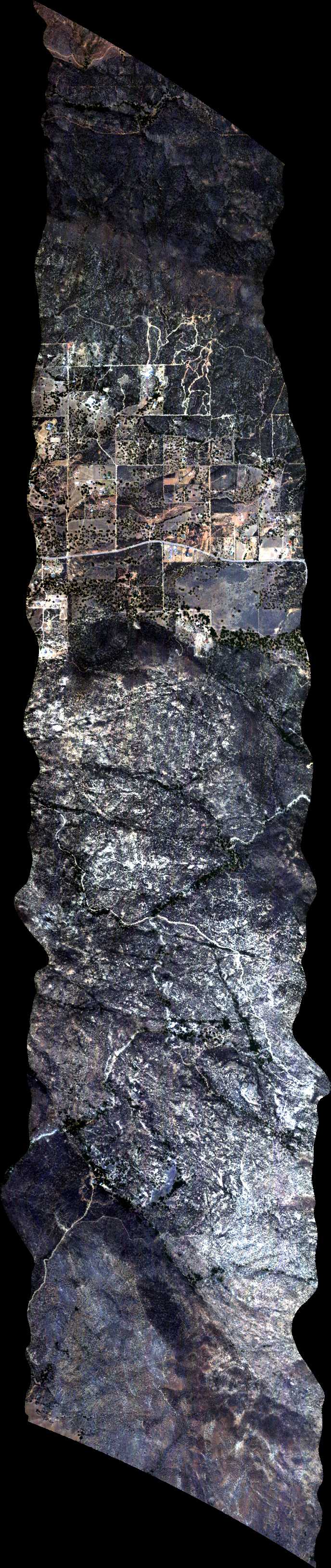
| 205006 | Sky Oaks 3, CA (orthocorrected) |
14T011 | Phil Townsend | 33.31667 | -116.6638333 | 33.41667 | -116.6638333 | 2050 | 2055 | Alt = 18.1 kft SOG = 76 kts Clouds = Clear Direction = 168.1 |
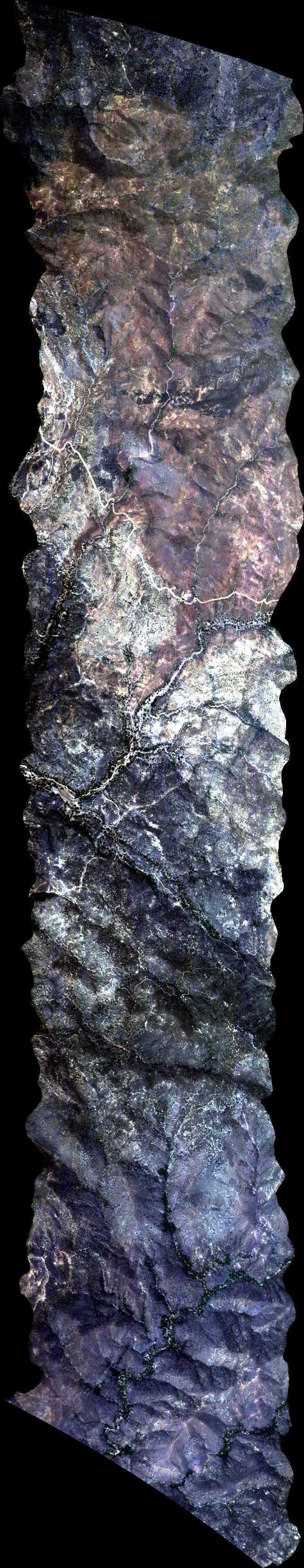
| 210242 | Sky Oaks 1, CA (orthocorrected) |
14T011 | Phil Townsend | 33.31667 | -116.6221667 | 33.41667 | -116.6221667 | 2103 | 2109 | Alt = 17.9 kft SOG = 70 kts Clouds = Clear Direction = 168.2 |
 Back to AVIRIS NG Flight Season page