
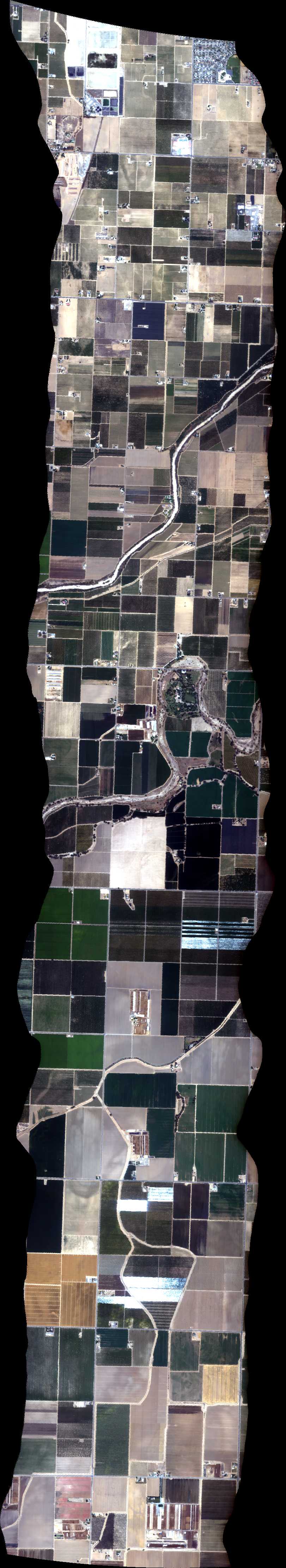
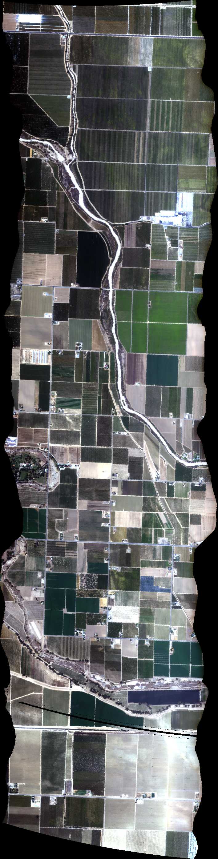
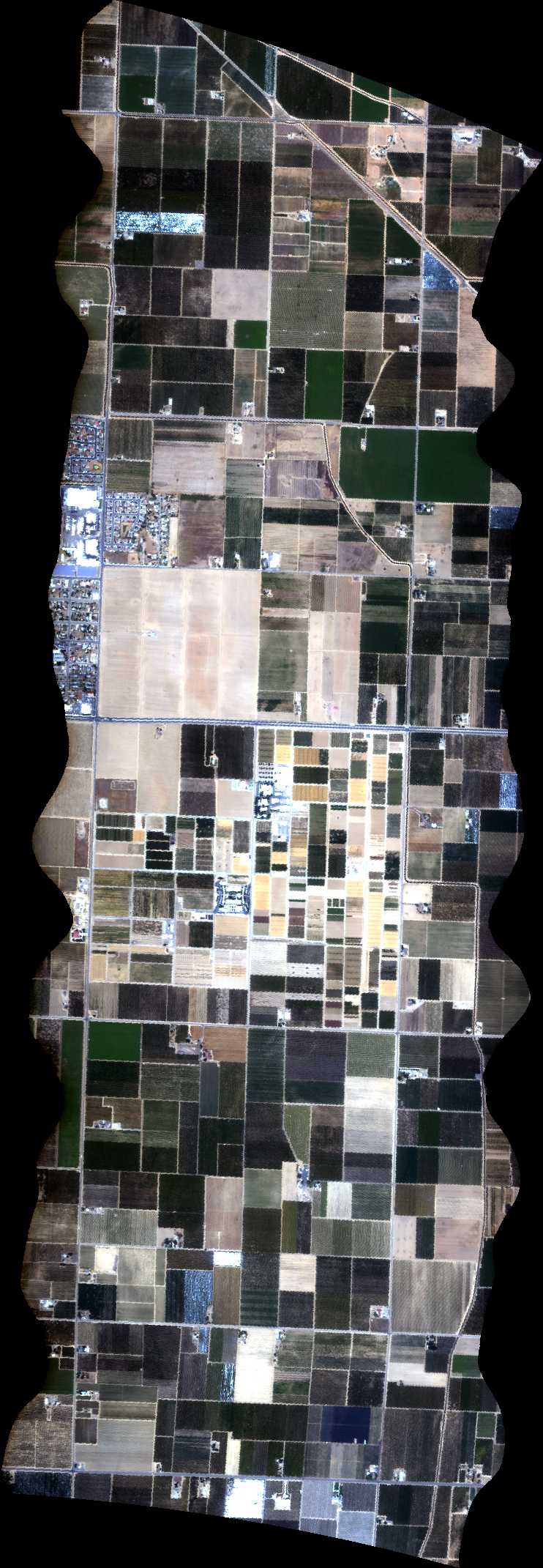
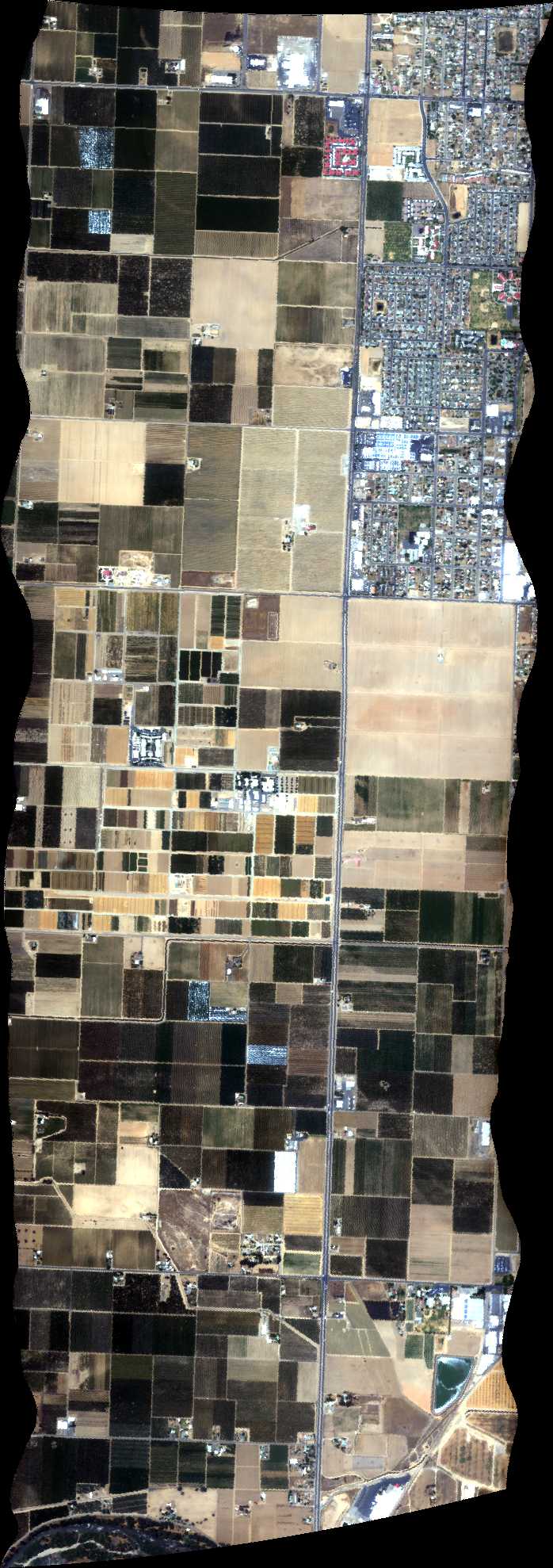
| Run ID | Site Name | NASA Log # | Start_Lat | Start Lat | Start Lon | Stop Lat | Stop Lon | Start GMT | Stop GMT | Comments |
| 191644 | Soda Lake (orthocorrected) |
Phil Townsend | 35.202 | -119.877833 | 35.259833 | -119.901333 | 1916 | 1920 | Alt = 4.5 kft SOG = 80 kts Clouds = CLR Direction = 325 deg |
|
| 195045 | Kingsburg 2 NS, CA (orthocorrected) |
14T011 | Phil Townsend | 36.413317 | -119.579331 | 36.502961 | -119.579331 | 1950 | 1957 | Alt = 13 kft SOG = 94 kts Clouds = Light haze/Smoke Direction = 347 deg |
| 200136 | Kingsburg 1 EW, CA (orthocorrected) |
14T011 | Phil Townsend | 36.458139 | -119.635060 | 36.458139 | -119.523602 | 2001 | 2006 | Alt = 13 kft SOG = 75 kts Clouds = Light haze/Smoke Direction = 257 deg |
| 201448 | Kearny BRDF 2 NS, CA (orthocorrected) |
14T011 | Phil Townsend | 36.569338 | -119.509098 | 36.632090 | -119.509098 | 2014 | 2018 | Alt = 13 kft SOG = 75-84 kts Clouds = Light haze/Smoke Direction = 166 deg |
| 202157 | Kearny BRDF 1 EW, CA (orthocorrected) |
14T011 | Phil Townsend | 36.600714 | -119.548180 | 36.600714 | -119.470016 | 2021 | 2025 | Alt = 13 kft SOG = 85-78 kts Clouds = Light haze Direction = 257 deg |
| 203806 | San Joaquin BRDF Rosette 4 135, CA (4m res) (orthocorrected) |
14T011 | Phil Townsend | 37.146473 | -119.779464 | 37.070407 | -119.684082 | 2038 | 2044 | Alt = 15 kft SOG = 82 kts Clouds = Light haze Direction = 302 deg |
| 204631 | San Joaquin BRDF Rosette 2 NS, CA (4m res) (orthocorrected) |
14T011 | Phil Townsend | 37.054653 | -119.731761 | 37.162227 | -119.731761 | 2046 | 2052 | Alt = 15 kft SOG = 82 kts Clouds = Light haze Direction = 167 deg |
| 205554 | San Joaquin BRDF Rosette 3 45, CA (4m res) (orthocorrected) |
14T011 | Phil Townsend | 37.070407 | -119.779440 | 37.146473 | -119.684058 | 2055 | 2101 | Alt = 15 kft SOG = 88 kts Clouds = Light haze Direction = 032 deg |
| 210418 | San Joaquin BRDF Rosette 1 EW, CA (4m res) (orthocorrected) |
14T011 | Phil Townsend | 37.108440 | -119.799206 | 37.108440 | -119.664316 | 2104 | 2110 | Alt = 15 kft SOG = 90-87 kts Clouds = Light haze Direction = 267 deg |
| 211822 | San Joaquin BRDF Rosette 1 EW, CA (2m res) (orthocorrected) |
14T011 | Phil Townsend | 37.108440 | -119.799206 | 37.108440 | -119.664316 | 2118 | 2125 | Alt = 8 kft SOG = 68-76 kts Clouds = Light haze Direction = 259 deg |
| 212913 | San Joaquin BRDF Rosette 2 NS, CA (2m res) (orthocorrected) |
14T011 | Phil Townsend | 37.054653 | -119.731761 | 37.162227 | -119.731761 | 2129 | 2134 | Alt = 8 kft SOG = 85-91 kts Clouds = Light haze Direction = 167 deg |
| 213748 | San Joaquin BRDF Rosette 4 135, CA (2m res) (orthocorrected) |
14T011 | Phil Townsend | 37.146473 | -119.779464 | 37.070407 | -119.684082 | 2137 | 2144 | Alt = 8 kft SOG = 58 - 77 kts Clouds = light haze Direction = 212 deg |
| 214748 | San Joaquin BRDF Rosette 3 45, CA (2m res) (orthocorrected) |
14T011 | Phil Townsend | 37.070407 | -119.779440 | 37.146473 | -119.684058 | 2147 | 2154 | Alt = 8 kft SOG = 70 - 78 kts Clouds = light haze Direction = 212 deg |
| 230035 | Atmospheric Correction Run (orthocorrected) |
Townsend | 2300 | 2303 | Alt = 5 - 10 kft SOG = 70 - 78 kts |
 Back to AVIRIS NG Flight Season page