
| Run ID | Site Name | NASA Log # | Start_Lat | Start Lat | Start Lon | Stop Lat | Stop Lon | Start GMT | Stop GMT | Comments |
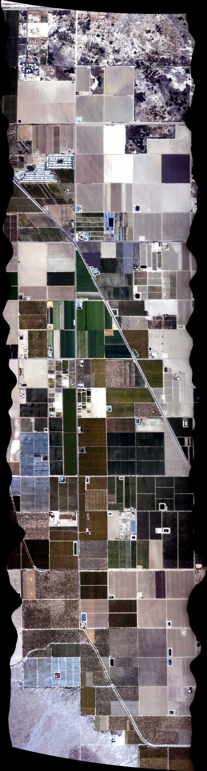
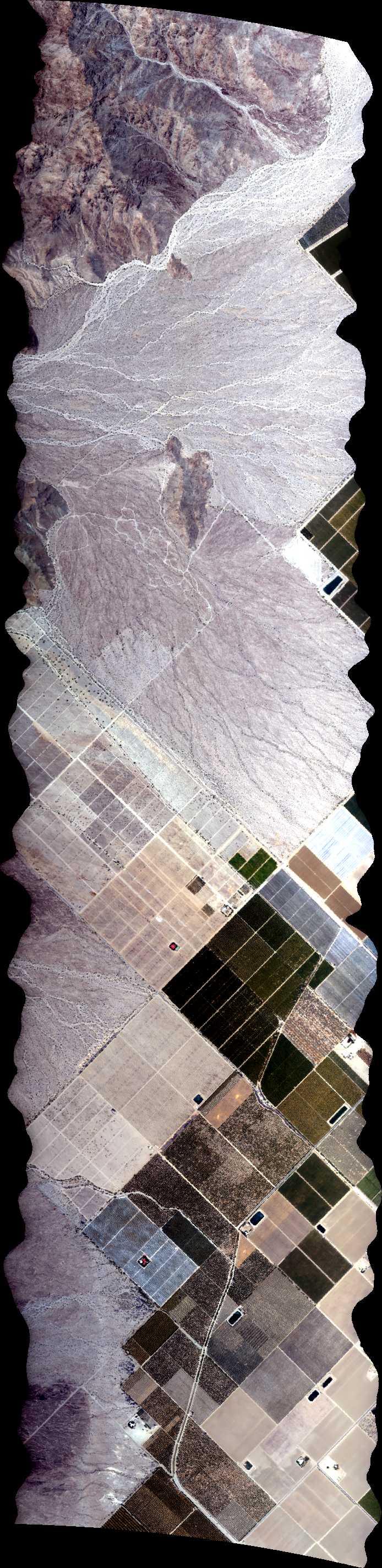
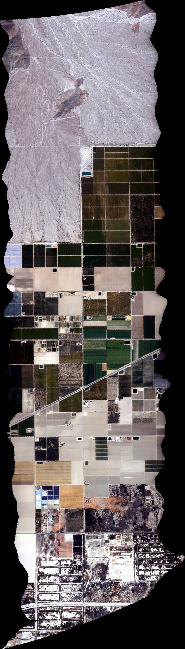
| 192211 | Coachella BRDF 17 4m res overlap 135, CA (orthocorrected) |
14T011 | Phil Townsend | 33.5671 | -116.1778 | 33.5037 | -116.1018 | 1922 | 1927 | Alt = 13 kft SOG = 71 kts Clouds = Light haze Direction = 123 deg |
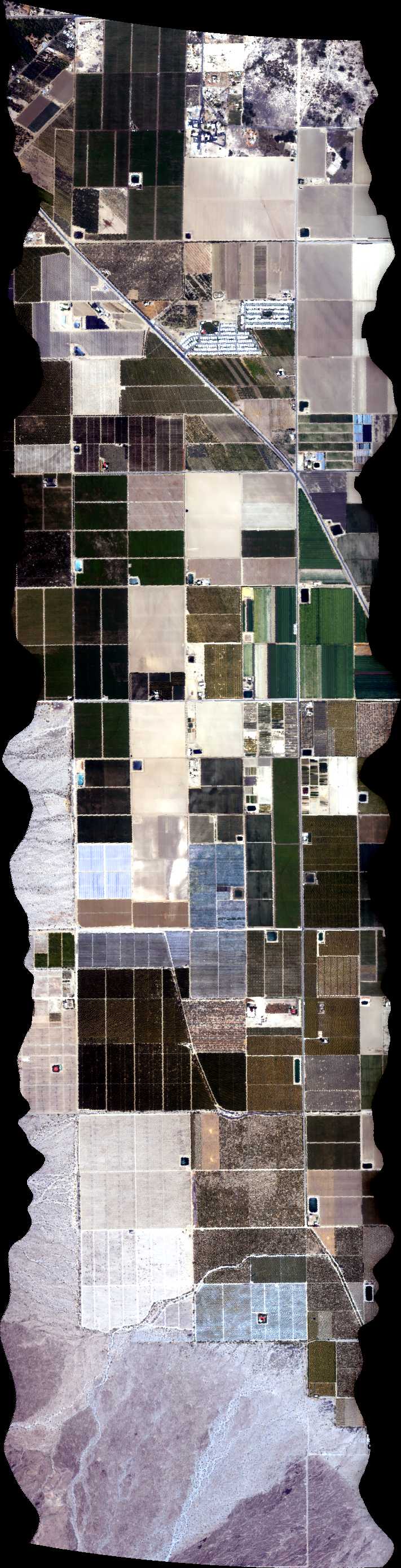
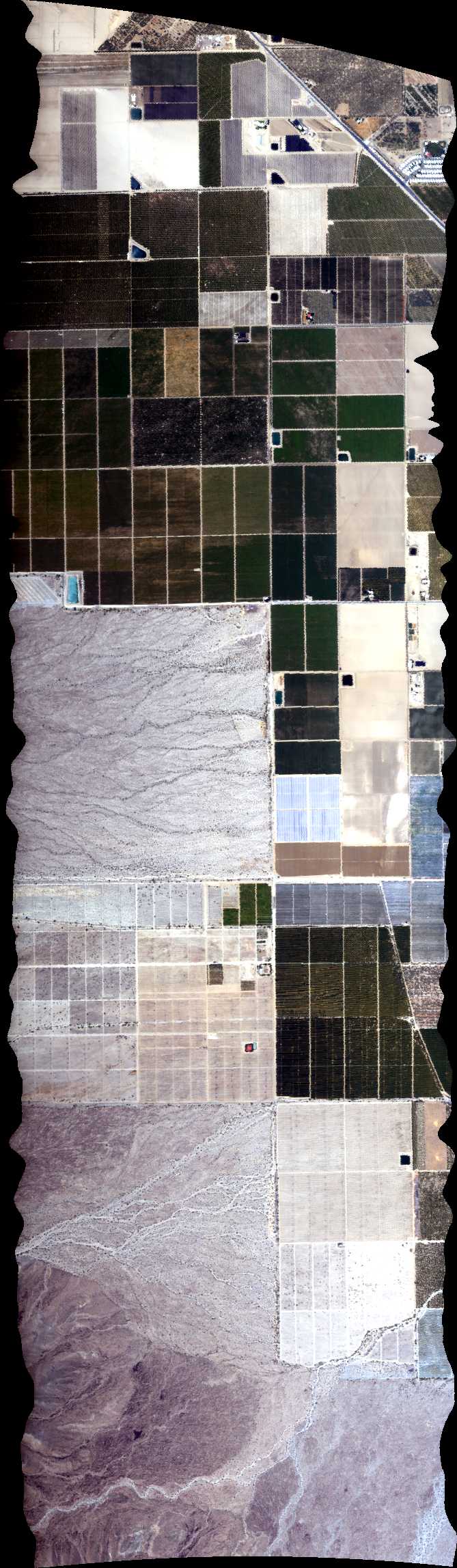
| 193101 | Coachella BRDF 8 4m res overlap NS, CA (orthocorrected) |
14T011 | Phil Townsend | 33.4772 | -116.1331 | 33.5669 | -116.1331 | 1931 | 1935 | Alt = 13 kft SOG = 87 kts Clouds = Light haze Direction = 348 deg |
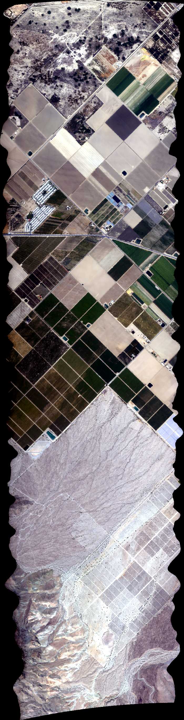
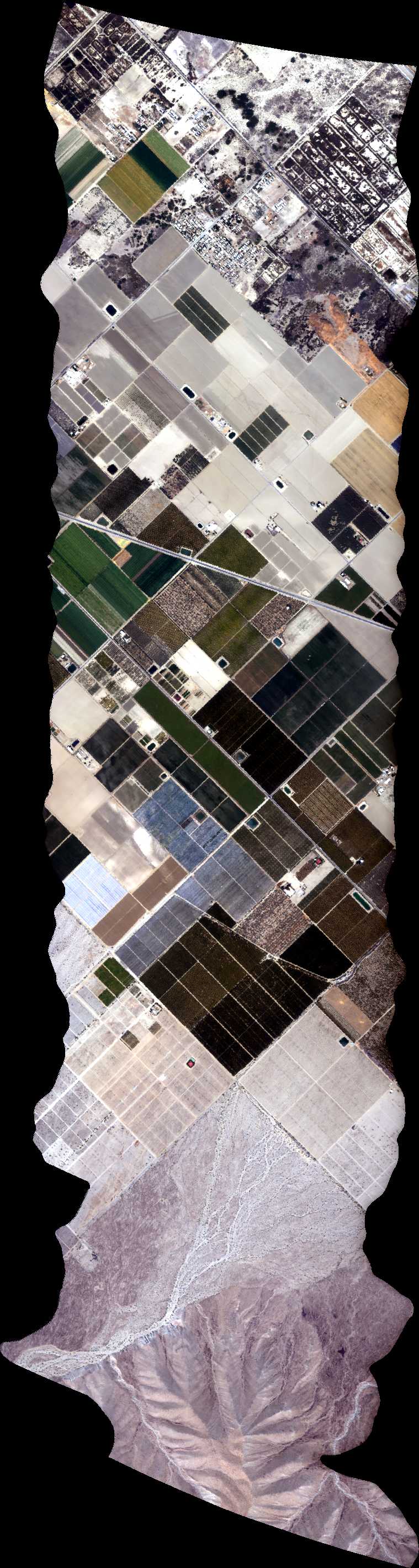
| 193650 | Coachella BRDF 12 4m res overlap 45, CA (orthocorrected) |
14T011 | Phil Townsend | 33.5037 | -116.2098 | 33.5671 | -116.1338 | 1936 | 1941 | Alt = 13 kft Clouds = Light haze Direction = 1213 deg |
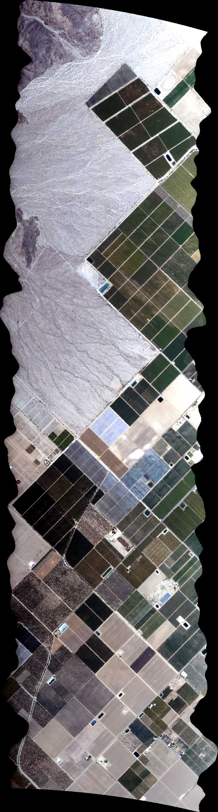
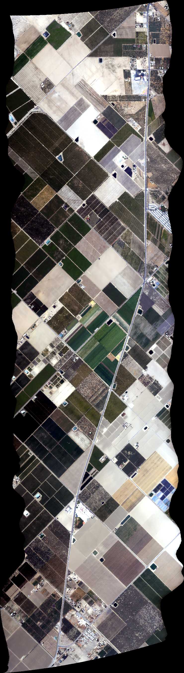
| 194509 | Coachella BRDF 16 135, CA (orthocorrected) |
14T011 | Phil Townsend | 33.553728 | -116.193800 | 33.490340 | -116.117766 | 1945 | 1950 | Alt = 13 kft SOG = 74 kts Clouds = Light haze Direction = 123 deg |
| 195244 | Coachella BRDF 10 2m res overlap NS, CA (orthocorrected) |
14T011 | Phil Townsend | 33.4772 | -116.1445 | 33.5669 | -116.1444 | 1952 | 1956 | Alt = 13 kft SOG = 84 kts Direction = 348 deg |
| 200021 | Coachella BRDF 13 4m res overlap 45, CA (orthocorrected) |
14T011 | Phil Townsend | 33.4770 | -116.1778 | 33.5404 | -116.1017 | 2000 | 2005 | Alt = 13 kft SOG = 85 ktshaze Direction = 213 deg |
| 200718 | Coachella BRDF 11 45, CA (orthocorrected) |
14T011 | Phil Townsend | 33.490340 | -116.193786 | 33.553728 | -116.117752 | 2007 | 2011 | Alt = 13 kft SOG =83 kts Direction = 33 deg |
| 201413 | Coachella BRDF (orthocorrected) |
14T011 | Phil Townsend | 33.524760 | -116.204411 | 33.526007 | -116.099729 | 2014 | 2018 | Alt = 13 kft SOG =85 kts Direction = 257 deg |
| 202044 | Coachella BRDF 18 4m res overlap 135, CA (orthocorrected) |
14T011 | Phil Townsend | 33.5404 | -116.2098 | 33.4770 | -116.1338 | 2020 | 2025 | Alt = 13 kft SOG = 67 kts Direction = 123 deg |
| 202829 | Coachella BRDF 6 NS, CA (orthocorrected) |
14T011 | Phil Townsend | 33.477212 | -116.155776 | 33.566856 | -116.155776 | 2028 | 2032 | Alt = 13 kft SOG = 90 kts Direction = 348 deg |
| 203545 | Coachella BRDF 14 2m res overlap 45, CA (orthocorrected) |
14T011 | Phil Townsend | 33.4970 | -116.2018 | 33.5604 | -116.1258 | 2035 | 2040 | Alt = 13 kft SOG = 70 kts Direction = 213 deg |
| 204459 | Coachella BRDF 20 2m res overlap 135, CA (orthocorrected) |
14T011 | Phil Townsend | 33.5470 | -116.2018 | 33.4837 | -116.1258 | 2045 | 2049 | Alt = 13 kft SOG = 79 kts Direction = 123 deg |
| 205307 | Coachella BRDF (orthocorrected) |
14T011 | Phil Townsend | 33.524760 | -116.204411 | 33.526007 | -116.099729 | 2053 | 2057 | Alt = 13 kft SOG = 80 kts Direction = 257 deg |
| 210131 | Coachella BRDF 9 2m res overlap NS, CA (orthocorrected) |
14T011 | Phil Townsend | 33.4772 | -116.1671 | 33.5669 | -116.1671 | 2101 | 2105 | Alt = 13 kft Direction = 69 deg |
| 210759 | Coachella BRDF 15 2m res overlap 45, CA (orthocorrected) |
14T011 | Phil Townsend | 33.4837 | -116.1858 | 33.5471 | -116.1097 | 2108 | 2111 | Alt = 13 kft SOG = 86 kts Direction = 33 deg |
| 211524 | Coachella BRDF 19 2m res overlap 135, CA (orthocorrected) |
14T011 | Phil Townsend | 33.5604 | -116.1858 | 33.4970 | -116.1098 | 2115 | 2119 | Alt = 13 kft SOG = 83 kts Direction = 303 deg |
| 212212 | Coachella BRDF 7 4m res overlap NS, CA (orthocorrected) |
14T011 | Phil Townsend | 33.4772 | -116.1784 | 33.5669 | -116.1784 | 2122 | 2127 | Alt = 13 kft Direction = 169 deg |
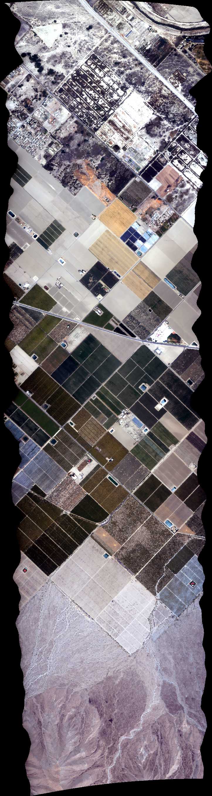
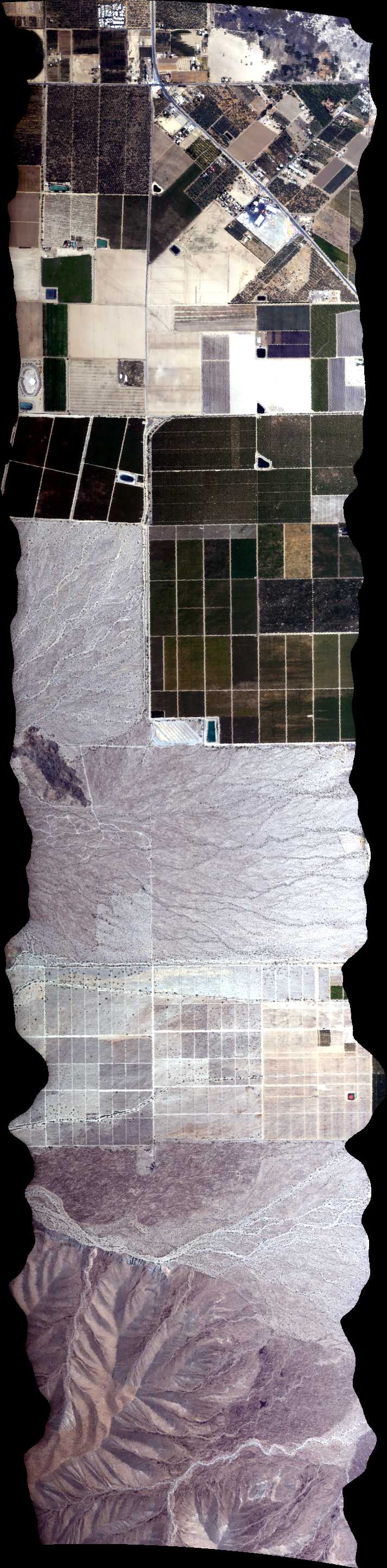
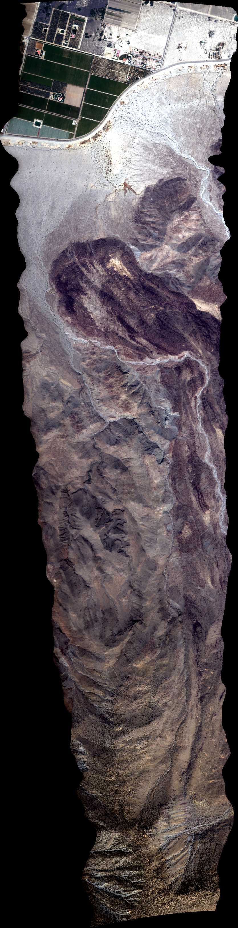
| 213157 | Martinez Mountain Landslide (orthocorrected) |
14T011 | Phil Townsend | 33.5618 | -116.335433 | 33.589726 | -116.230849 | 2131 | 2136 | Alt = 13 kft SOG = 70 kts Direction = 240 deg Dropped frames |
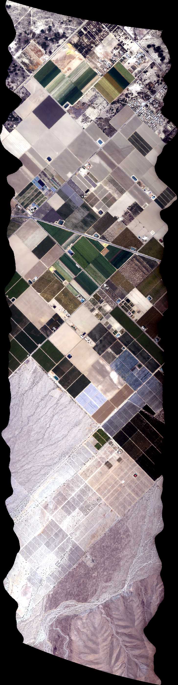
| 215258 | Salton Sea Mud Pots 1, CA (orthocorrected) |
14T011 | Phil Townsend | 33.27658202 | -115.6372876 | 33.18565313 | -115.6221704 | 2152 | 2157 | Alt = 13 kft SOG = 82 kts Direction = 160 deg |
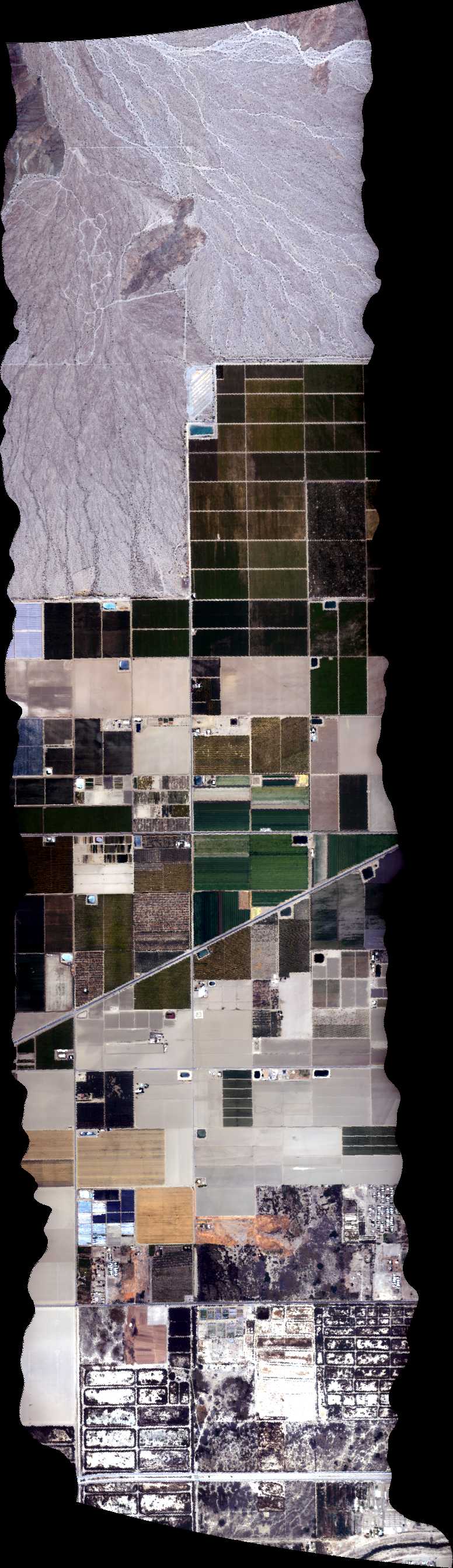
| 215904 | Salton Sea Mud Pots 2, CA (orthocorrected) |
14T011 | Phil Townsend | 33.18671966 | -115.611075 | 33.27737122 | -115.6261346 | 2159 | 2203 | Alt = 13 kft SOG = 85 kts Direction = 340 deg |
| 220509 | Salton Sea Mud Pots 3, CA (orthocorrected) |
14T011 | Phil Townsend | 33.27815943 | -115.6149814 | 33.18778521 | -115.5999795 | 2205 | 2209 | Alt = 13 kft SOG = 80 kts Direction = 160 deg |
| 221137 | Salton Sea Mud Pots 4, CA (orthocorrected) |
14T011 | Phil Townsend | 33.18884977 | -115.5888836 | 33.27894664 | -115.603828 | 2211 | 2215 | Alt = 13 kft SOG = 80 kts Direction = 340 deg |
| 221732 | Salton Sea Mud Pots 5, CA (orthocorrected) |
14T011 | Phil Townsend | 33.27973285 | -115.5926744 | 33.18991334 | -115.5777875 | 2217 | 2222 | Alt = 13 kft SOG = 70 kts Direction = 160 deg |
| 222403 | Salton Sea Mud Pots 6, CA (orthocorrected) |
14T011 | Phil Townsend | 33.19097594 | -115.5666911 | 33.28051807 | -115.5815206 | 2224 | 2228 | Alt = 13 kft SOG = 86 kts Direction = 340 deg |
| 223036 | Salton Sea Mud Pots 7, CA (orthocorrected) |
14T011 | Phil Townsend | 33.28130229 | -115.5703666 | 33.19203754 | -115.5555945 | 2230 | 2236 | Alt = 13 kft SOG = 80 kts Direction = 160 deg |
| 234616 | Van Nuys Airport (orthocorrected) |
Eastwood | 2346 | 2347 | Alt = 1 kft Direction = W to E |
 Back to AVIRIS NG Flight Season page