
| Run ID | Site Name | NASA Log # | Start_Lat | Start Lat | Start Lon | Stop Lat | Stop Lon | Start GMT | Stop GMT | Comments |
| 195714 | Chino Airport (flat field) (orthocorrected) |
Green | 1957 | 2001 | Alt = 8 kft Clouds = Clear/haze Direction = 78 deg |
|||||
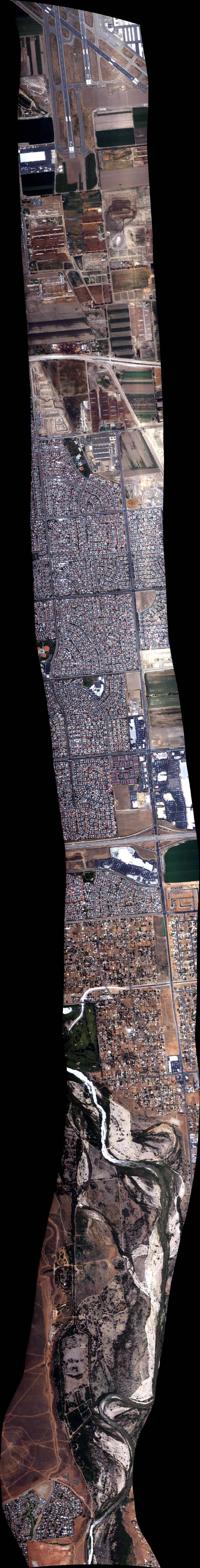
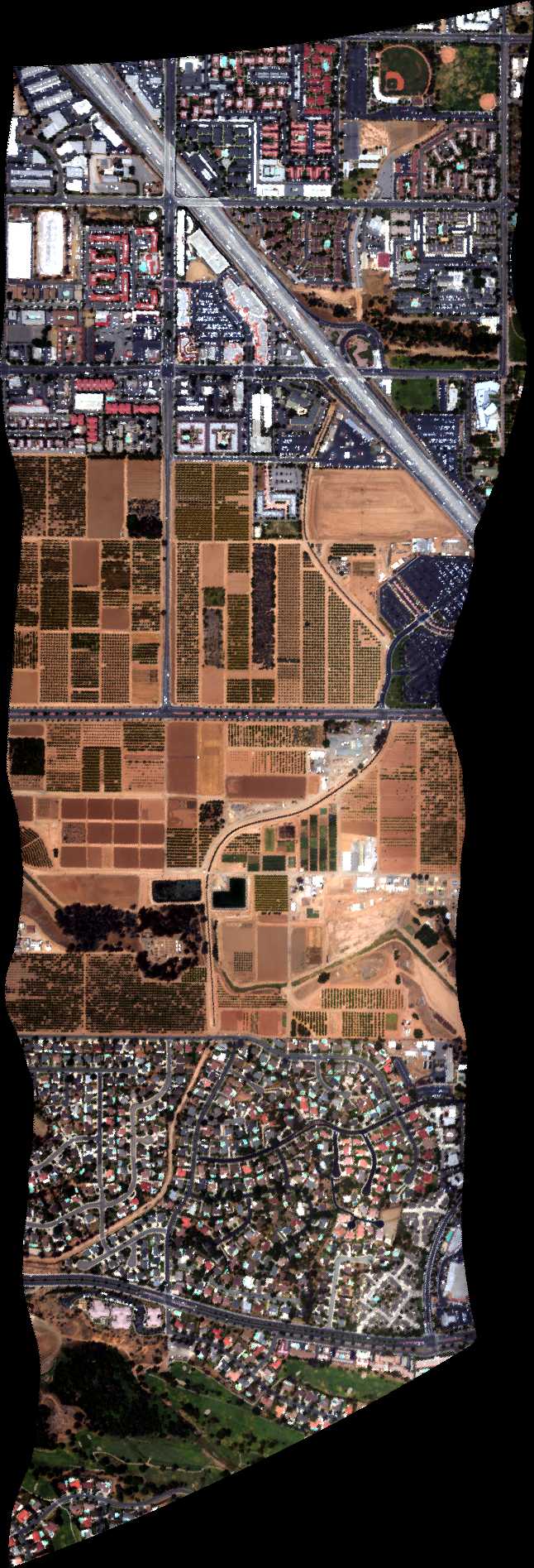
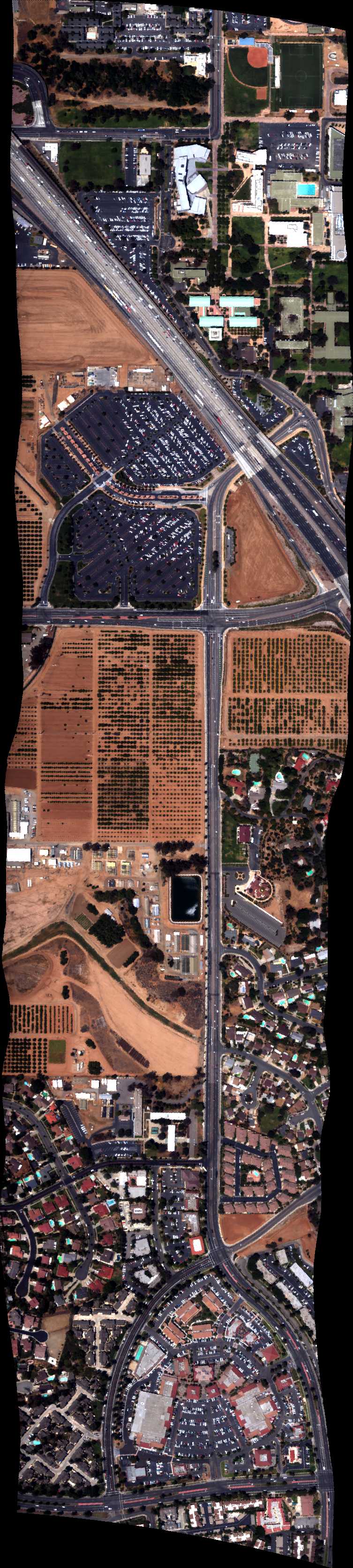
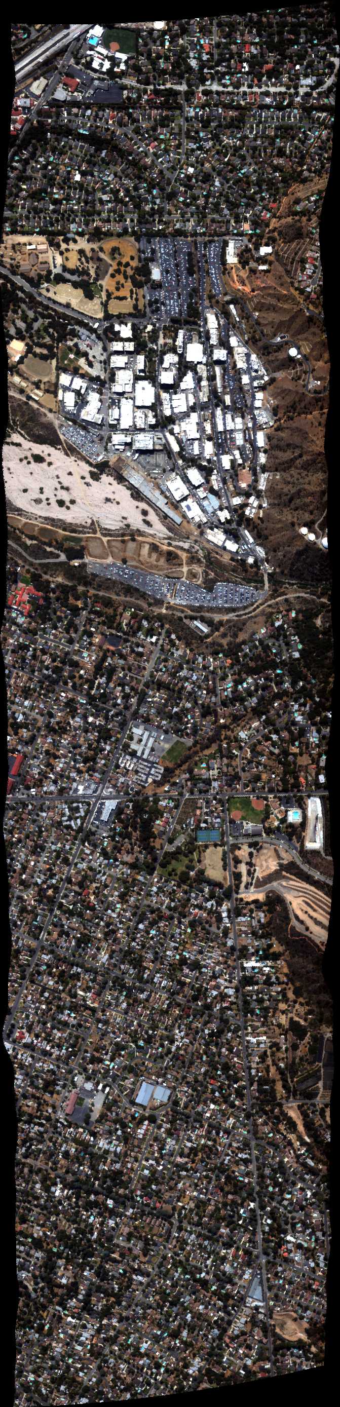
| 200245 | UCR South Line (orthocorrected) |
14T011 | Phil Townsend | 33.9654 | -117.3486 | 33.9654 | -117.3282 | 2002 | 2005 | Alt = 8 kft SOG = 83 kts Clouds = Clear/haze Direction = 78 deg |
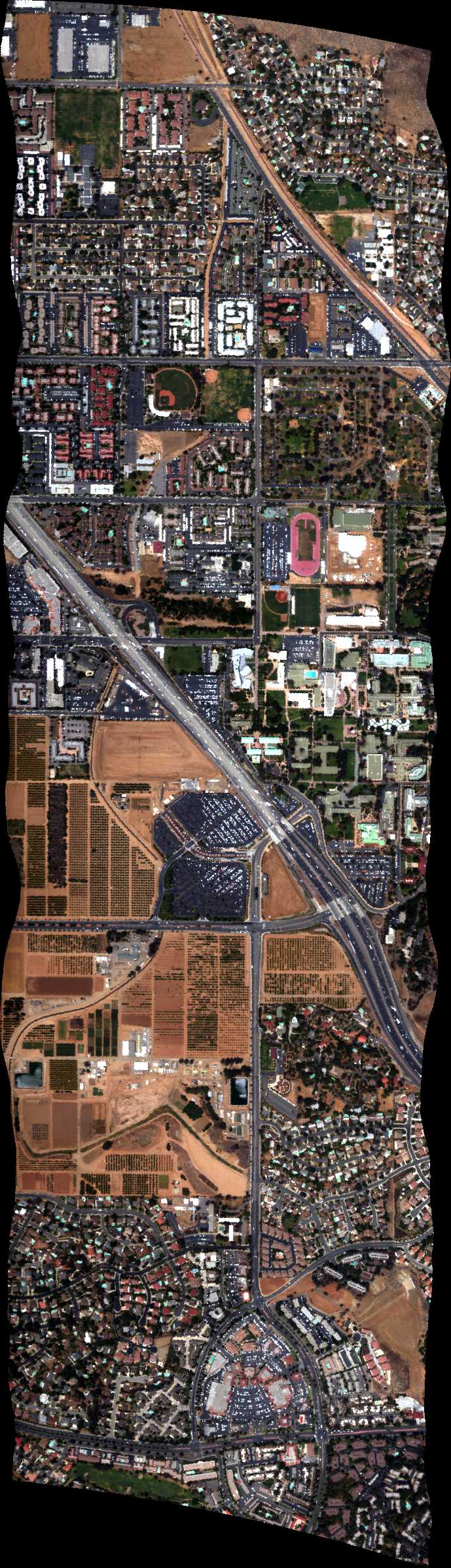
| 200643 | UCR North Line (orthocorrected) |
14T011 | Phil Townsend | 33.970117 | -117.348550 | 33.970035 | -117.328171 | 2006 | 2010 | Alt = 8 kft SOG = 66 kts Clouds = Clear Direction = 258 deg |
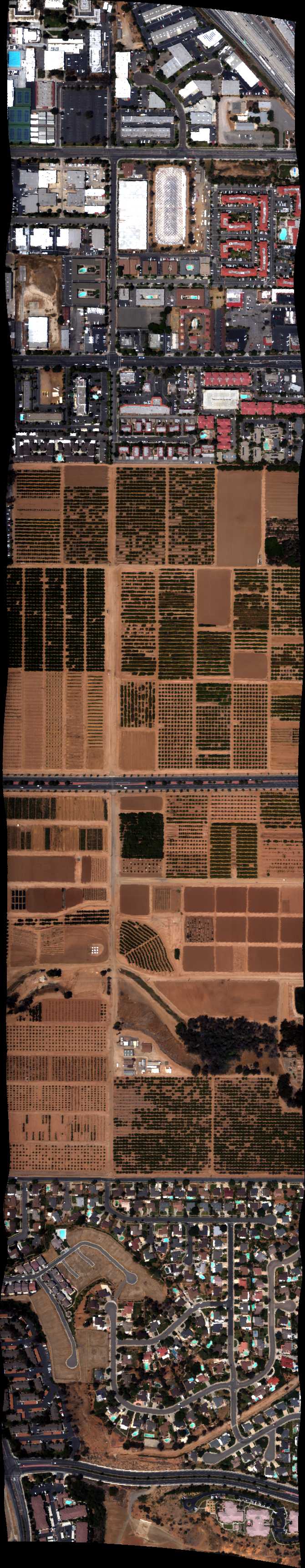
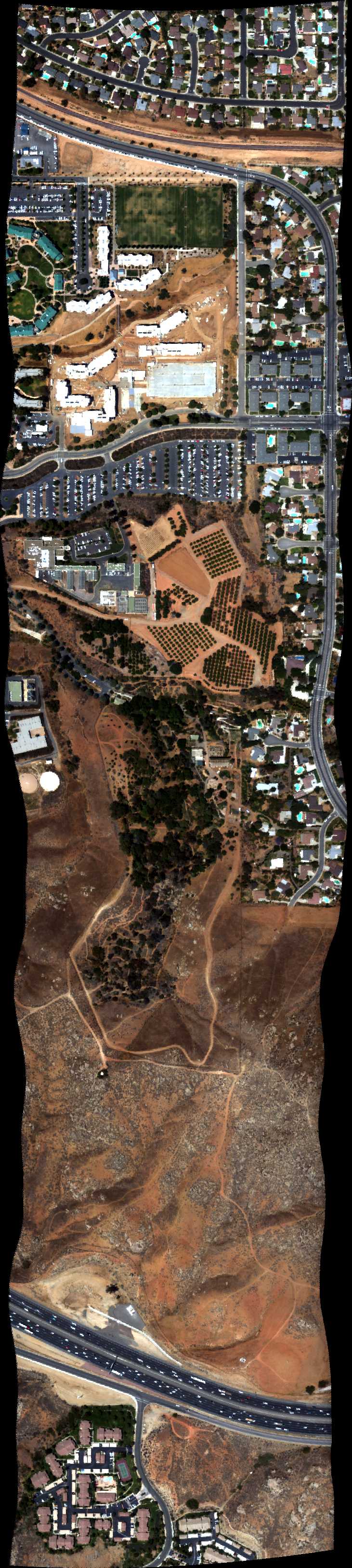
| 201243 | UCR West Line (orthocorrected) |
14T011 | Phil Townsend | 33.973884 | -117.34312 | 33.960805 | -117.34313 | 2012 | 2014 | Alt = 8 kft SOG = 68 kts Clouds = Clear Direction = 168 deg |
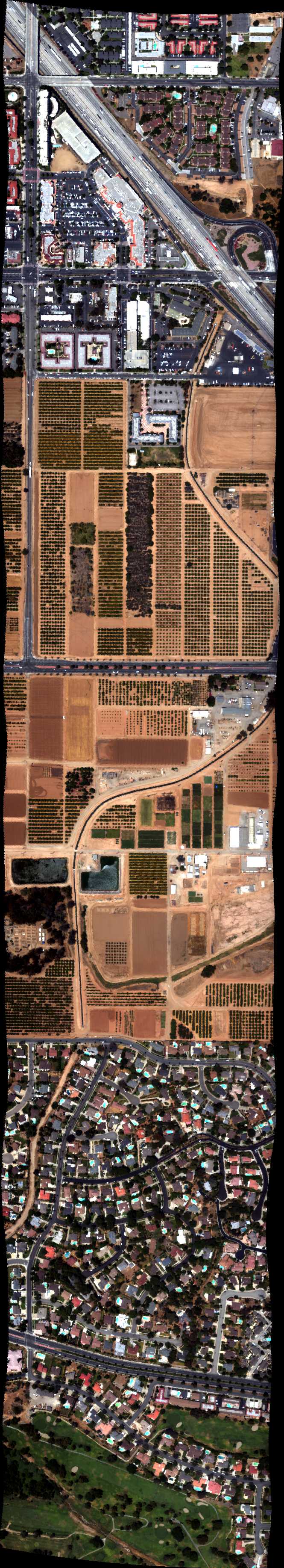
| 201648 | UCR Mid Line (orthocorrected) |
14T011 | Phil Townsend | 33.9739 | -117.3375 | 33.9608 | -117.3375 | 2016 | 2018 | Alt = 8 kft SOG = 81 kts Clouds = Clear Direction = 348 deg |
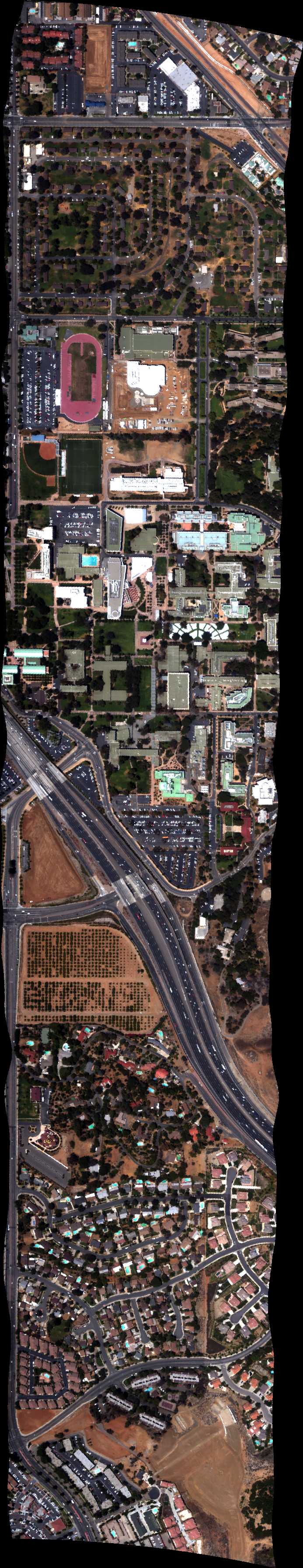
| 202047 | UCR East Line (orthocorrected) |
14T011 | Phil Townsend | 33.9739 | -117.3319 | 33.9608 | -117.3319 | 2020 | 2023 | Alt = 8 kft SOG = 66 kts Clouds = Clear Direction = 168 deg |
| 202943 | UCR West Line (orthocorrected) |
14T011 | Phil Townsend | 33.973884 | -117.34312 | 33.960805 | -117.34313 | 2029 | 2032 | Alt = 4 kft SOG = 63 kts Clouds = Clear Direction = 168 deg |
| 203347 | UCR Mid Line (orthocorrected) |
14T011 | Phil Townsend | 33.9739 | -117.3375 | 33.9608 | -117.3375 | 2033 | 2035 | Alt = 4 kft SOG = 75 kts Clouds = Clear Direction = 348 deg |
| 203730 | UCR East Line (orthocorrected) |
14T011 | Phil Townsend | 33.9739 | -117.3319 | 33.9608 | -117.3319 | 2037 | 2040 | Alt = 4 kft SOG = 64 kts Clouds = Clear Direction = 168 deg |
| 204111 | UCR East Line (orthocorrected) |
14T011 | Phil Townsend | 33.9739 | -117.3319 | 33.9608 | -117.3319 | 2041 | 2043 | Alt = 4 kft SOG = 69 kts Clouds = Clear Direction = 168 deg |
| 204438 | UCR East Line (orthocorrected) |
14T011 | Phil Townsend | 33.9739 | -117.3319 | 33.9608 | -117.3319 | 2044 | 2046 | Alt = 4 kft SOG = 69 kts Clouds = Clear Direction = 168 deg |
| 204858 | UCR South Line (orthocorrected) |
14T011 | Phil Townsend | 33.9654 | -117.3486 | 33.9654 | -117.3282 | 2048 | 2051 | Alt = 4 kft SOG = 67 kts Clouds = Clear Direction = 258 deg |
| 205435 | UCR North Line (orthocorrected) |
14T011 | Phil Townsend | 33.970117 | -117.348550 | 33.970035 | -117.328171 | 2054 | 2056 | Alt = 4 kft SOG = 71 kts Clouds = Clear Direction = 258 deg |
| 205937 | Chino (orthocorrected) |
Green | 2059 | 2105 | Alt = 4 - 7.5 kft SOG = 130 kts Clouds = Clear Direction = 272 deg |
|||||
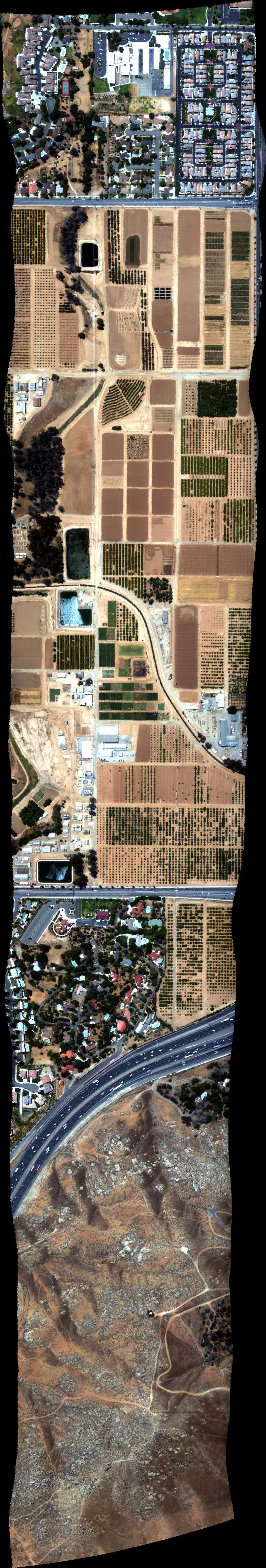
| 211154 | Loma Ridge BRDF 2 NS, CA (orthocorrected) |
14T011 | Phil Townsend | 33.726080 | -117.695521 | 33.744008 | -117.695521 | 2111 | 2115 | Alt = 8 kft SOG = 70 kts Clouds = Clear Direction = 168 deg |
| 211716 | Loma Ridge BRDF 2 NS, CA (orthocorrected) |
14T011 | Phil Townsend | 33.726080 | -117.695521 | 33.744008 | -117.695521 | 2117 | 2120 | Alt = 8 kft SOG = 82 kts Clouds = Clear Direction = 348 deg |
| 212159 | Loma Ridge BRDF (orthocorrected) |
14T011 | Phil Townsend | 33.731761 | -117.697559 | 33.739358 | -117.692792 | 2122 | 2125 | Alt = 8 kft SOG = 61 kts Clouds = Clear Direction = 196 deg |
| 212810 | Loma Ridge BRDF 1 EW, CA (orthocorrected) |
14T011 | Phil Townsend | 33.735044 | -117.706301 | 33.735044 | -117.684741 | 2128 | 2129 | Alt = 8 kft SOG = 85 - 90 kts Clouds = Clear Direction = 78 deg |
| 213142 | Loma Ridge BRDF 1 EW, CA (orthocorrected) |
14T011 | Phil Townsend | 33.735044 | -117.706301 | 33.735044 | -117.684741 | 2131 | 2134 | Alt = 8 kft SOG = 59 kts Clouds = Clear Direction = 258 deg |
| 213858 | Chino Airport (flat field) (orthocorrected) |
Green | 2140 | 2142 | Alt = 6.5 kft SOG = 151 kts Clouds = Clear Direction = 7 deg |
|||||
| 215342 | JPL E to W (orthocorrected) |
Green | 2153 | Alt = 6.5 kft SOG = 65 kts Clouds = Clear/haze Direction = 258 deg |
||||||
| 215931 | JPL N to S (orthocorrected) |
Green | 2159 | Alt = 6.5 kft SOG = 65 kts Clouds = Clear Direction = 167 deg |
 Back to AVIRIS NG Flight Season page